827 Bluebird St Unit 676 Deerfield, IL 60015
Northeast Buffalo Grove NeighborhoodEstimated Value: $398,000 - $443,000
--
Bed
3
Baths
1,800
Sq Ft
$234/Sq Ft
Est. Value
About This Home
This home is located at 827 Bluebird St Unit 676, Deerfield, IL 60015 and is currently estimated at $421,786, approximately $234 per square foot. 827 Bluebird St Unit 676 is a home located in Lake County with nearby schools including Meridian Middle School, Earl Pritchett School, and Aptakisic Junior High School.
Ownership History
Date
Name
Owned For
Owner Type
Purchase Details
Closed on
Jul 15, 2005
Sold by
Rubin Howard
Bought by
Rubin Howard and Rubin Abby
Current Estimated Value
Home Financials for this Owner
Home Financials are based on the most recent Mortgage that was taken out on this home.
Original Mortgage
$235,200
Outstanding Balance
$122,871
Interest Rate
5.87%
Mortgage Type
New Conventional
Estimated Equity
$298,915
Purchase Details
Closed on
May 24, 2005
Sold by
Ioffe Anatoly
Bought by
Rubin Howard
Home Financials for this Owner
Home Financials are based on the most recent Mortgage that was taken out on this home.
Original Mortgage
$235,200
Outstanding Balance
$122,871
Interest Rate
5.87%
Mortgage Type
New Conventional
Estimated Equity
$298,915
Purchase Details
Closed on
Oct 22, 1998
Sold by
Arbuthnot Construction Co Inc
Bought by
Ioffe Anatoly
Home Financials for this Owner
Home Financials are based on the most recent Mortgage that was taken out on this home.
Original Mortgage
$132,000
Interest Rate
5%
Purchase Details
Closed on
Jul 10, 1998
Sold by
Bongiovanni Valerie
Bought by
Arbuthnot Construction Co
Home Financials for this Owner
Home Financials are based on the most recent Mortgage that was taken out on this home.
Original Mortgage
$97,364
Interest Rate
9%
Purchase Details
Closed on
Jun 27, 1996
Sold by
Novak Jerald
Bought by
Bongiovanni Valeri
Home Financials for this Owner
Home Financials are based on the most recent Mortgage that was taken out on this home.
Original Mortgage
$90,000
Interest Rate
8.07%
Create a Home Valuation Report for This Property
The Home Valuation Report is an in-depth analysis detailing your home's value as well as a comparison with similar homes in the area
Home Values in the Area
Average Home Value in this Area
Purchase History
| Date | Buyer | Sale Price | Title Company |
|---|---|---|---|
| Rubin Howard | -- | Chicago Title Insurance Comp | |
| Rubin Howard | $294,000 | Chicago Title Insurance Comp | |
| Ioffe Anatoly | $165,000 | -- | |
| Arbuthnot Construction Co | $170,000 | Chicago Title Insurance Co | |
| Bongiovanni Valeri | $163,000 | Chicago Title Insurance Co |
Source: Public Records
Mortgage History
| Date | Status | Borrower | Loan Amount |
|---|---|---|---|
| Open | Rubin Howard | $235,200 | |
| Previous Owner | Ioffe Anatoly | $132,000 | |
| Previous Owner | Arbuthnot Construction Co | $97,364 | |
| Previous Owner | Bongiovanni Valeri | $90,000 |
Source: Public Records
Tax History Compared to Growth
Tax History
| Year | Tax Paid | Tax Assessment Tax Assessment Total Assessment is a certain percentage of the fair market value that is determined by local assessors to be the total taxable value of land and additions on the property. | Land | Improvement |
|---|---|---|---|---|
| 2024 | $9,067 | $115,149 | $30,915 | $84,234 |
| 2023 | $9,067 | $108,652 | $29,171 | $79,481 |
| 2022 | $7,814 | $95,779 | $25,715 | $70,064 |
| 2021 | $7,498 | $94,747 | $25,438 | $69,309 |
| 2020 | $7,332 | $95,070 | $25,525 | $69,545 |
| 2019 | $7,114 | $94,720 | $25,431 | $69,289 |
| 2018 | $6,122 | $83,243 | $27,642 | $55,601 |
| 2017 | $6,032 | $81,300 | $26,997 | $54,303 |
| 2016 | $5,782 | $77,851 | $25,852 | $51,999 |
| 2015 | $5,629 | $72,806 | $24,177 | $48,629 |
| 2014 | $5,320 | $68,995 | $25,966 | $43,029 |
| 2012 | $5,365 | $69,133 | $26,018 | $43,115 |
Source: Public Records
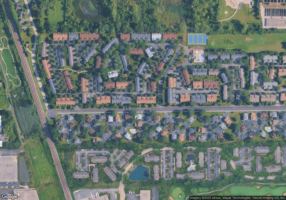
Map
Nearby Homes
- 1138 Inverrary Ln
- 416 Swallow Ln
- 412 Bluebird Ln Unit 412
- 886 Swan Ln Unit 82-5
- 608 Inverrary Ln Unit 608
- 463 Raphael Ave
- 20831 Maple Ct
- 532 Hummingbird Ln
- 402 Catbird Ln
- 20772 N William Ave
- 336 Redwing Dr Unit 18-3
- 353 Le Parc Cir Unit 186
- 20611 Illinois 21
- 409 Hazelwood Terrace
- 20698 N Eugene Ave
- 434 Dogwood Terrace
- 1062 Driftwood Ct Unit 1
- 0 Prague Ave
- 20665 N Weiland Rd
- 220 Osage Ln
- 829 Bluebird St Unit 677
- 831 Bluebird St Unit 678
- 405 Swallow Ln Unit 684
- 404 Swallow Ln Unit 661
- 407 Swallow Ln
- 409 Swallow Ln
- 1152 Inverrary Ln
- 1136 Inverrary Ln
- 1132 Inverrary Ln
- 1152 Inverrary Ln Unit 1152
- 406 Swallow Ln
- 410 Swallow Ln Unit 664
- 1102 Inverrary Ln
- 1110 Inverrary Ln Unit 1110
- 411 Swallow Ln
- 408 Swallow Ln
- 1104 Inverrary Ln
- 418 Swallow Ln Unit 652
- 1164 Inverrary Ln
- 1164 Inverrary Ln Unit D