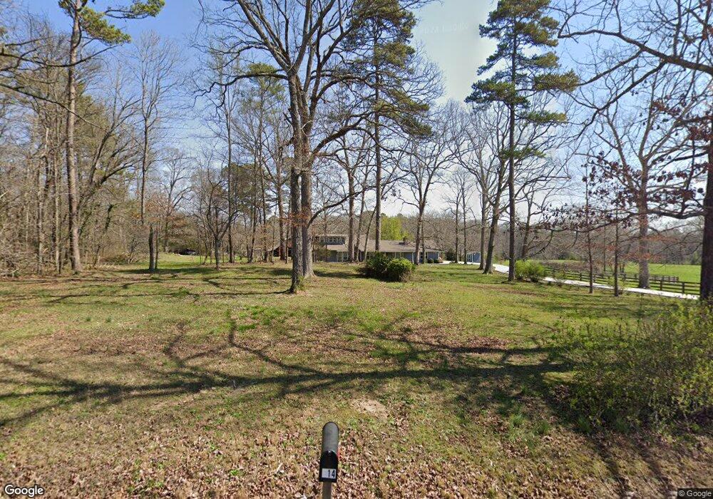
827 Highway 95 Rock Spring, GA 30739
Rock Spring NeighborhoodEstimated Value: $249,000
--
Bed
1
Bath
1,008
Sq Ft
$247/Sq Ft
Est. Value
About This Home
This home is located at 827 Highway 95, Rock Spring, GA 30739 and is currently estimated at $249,000, approximately $247 per square foot. 827 Highway 95 is a home located in Walker County with nearby schools including Rock Spring Elementary School, Lafayette High School, and Alice M Daley Adventist School.
Ownership History
Date
Name
Owned For
Owner Type
Purchase Details
Closed on
Jun 30, 2024
Sold by
Burns Family Revocable Living Trust
Bought by
Bent Tree Development Llc
Current Estimated Value
Home Financials for this Owner
Home Financials are based on the most recent Mortgage that was taken out on this home.
Original Mortgage
$484,704
Outstanding Balance
$478,870
Interest Rate
6.95%
Mortgage Type
New Conventional
Estimated Equity
-$229,870
Purchase Details
Closed on
Sep 21, 2018
Sold by
Ruiz Lisa R
Bought by
Millard Carmen and Miller Christopher
Purchase Details
Closed on
Apr 25, 2017
Sold by
Lee Wayne Franklin
Bought by
Larry Burns D and Burns Tamela K
Purchase Details
Closed on
Sep 27, 2016
Sold by
George E
Bought by
Shadrick Ronald L and Shadrick Patsy G
Purchase Details
Closed on
Apr 30, 1979
Sold by
Lee Claude F
Bought by
Lee Wayne Franklin
Purchase Details
Closed on
Jan 1, 1972
Bought by
Lee Claude F
Create a Home Valuation Report for This Property
The Home Valuation Report is an in-depth analysis detailing your home's value as well as a comparison with similar homes in the area
Home Values in the Area
Average Home Value in this Area
Purchase History
| Date | Buyer | Sale Price | Title Company |
|---|---|---|---|
| Bent Tree Development Llc | $478,500 | -- | |
| Millard Carmen | $130,000 | -- | |
| Larry Burns D | $93,500 | -- | |
| Cross Glenda Irene | -- | -- | |
| Shadrick Ronald L | -- | -- | |
| Lee Harold | $1,000 | -- | |
| Lee Wayne Franklin | $65,000 | -- | |
| Lee Claude F | -- | -- |
Source: Public Records
Mortgage History
| Date | Status | Borrower | Loan Amount |
|---|---|---|---|
| Open | Bent Tree Development Llc | $484,704 |
Source: Public Records
Tax History Compared to Growth
Tax History
| Year | Tax Paid | Tax Assessment Tax Assessment Total Assessment is a certain percentage of the fair market value that is determined by local assessors to be the total taxable value of land and additions on the property. | Land | Improvement |
|---|---|---|---|---|
| 2024 | $923 | $45,450 | $43,976 | $1,474 |
| 2023 | $754 | $36,376 | $34,902 | $1,474 |
| 2022 | $944 | $40,631 | $39,157 | $1,474 |
| 2021 | $1,039 | $40,386 | $39,157 | $1,229 |
| 2020 | $1,078 | $40,386 | $39,157 | $1,229 |
| 2019 | $1,100 | $40,386 | $39,157 | $1,229 |
| 2018 | $1,069 | $40,386 | $39,157 | $1,229 |
| 2017 | $2,353 | $73,282 | $41,580 | $31,702 |
| 2016 | $186 | $73,354 | $41,652 | $31,702 |
| 2015 | $201 | $87,303 | $57,590 | $29,713 |
| 2014 | $128 | $87,303 | $57,590 | $29,713 |
| 2013 | -- | $87,303 | $57,590 | $29,712 |
Source: Public Records
Map
Nearby Homes
- 5602 Georgia 95
- 00 Georgia 95
- 10180 Us Highway 27
- 1003 Highway N Old 27
- 1370 Old Highway 27
- 701 Bicentennial Trail
- 1902 Long Hollow Rd
- 23 Willow Cir
- 16 Willow Cir
- 11 Willow Cir
- The Pearson Plan at Laurel Ridge
- The Benson II Plan at Laurel Ridge
- The Langford Plan at Laurel Ridge
- The Lawson Plan at Laurel Ridge
- The Coleman Plan at Laurel Ridge
- The McGinnis Plan at Laurel Ridge
- The Caldwell Plan at Laurel Ridge
- 195 Honeysuckle Dr
- 0 Cheshire Crossing Dr Unit 1387793
- 36 Pheonix Cir
- 757 Highway 95
- 814 Highway 95
- 840 Highway 95
- 921 Highway 95
- 921 Georgia 95
- 661 Highway 95
- 661 Highway 95
- 914 Highway 95
- 945 Highway 95
- 7403 N Highway 27
- 965 Highway 95
- 914 Georgia 95
- 662 Highway 95
- 38 Starlight Dr
- 684 Highway 95
- 983 Highway 95
- 94 Starlight Dr
- 184 Meadow Brook Dr
- 208 Meadow Brook Dr
- 148 Meadow Brook Dr