827 Kosmerick Rd Bronson, MI 49028
Estimated Value: $135,389 - $436,000
Studio
--
Bath
1,144
Sq Ft
$230/Sq Ft
Est. Value
About This Home
This home is located at 827 Kosmerick Rd, Bronson, MI 49028 and is currently estimated at $262,847, approximately $229 per square foot. 827 Kosmerick Rd is a home located in Branch County with nearby schools including Ryan Elementary School, Anderson Elementary School, and Bronson Junior/Senior High School.
Ownership History
Date
Name
Owned For
Owner Type
Purchase Details
Closed on
Mar 6, 2017
Sold by
Covey Ronald L and Covey Debra K
Bought by
Covey Ronald L and Covey Debra K
Current Estimated Value
Home Financials for this Owner
Home Financials are based on the most recent Mortgage that was taken out on this home.
Original Mortgage
$56,000
Outstanding Balance
$9,963
Interest Rate
4.19%
Mortgage Type
Commercial
Estimated Equity
$252,884
Purchase Details
Closed on
Jun 15, 1995
Create a Home Valuation Report for This Property
The Home Valuation Report is an in-depth analysis detailing your home's value as well as a comparison with similar homes in the area
Purchase History
| Date | Buyer | Sale Price | Title Company |
|---|---|---|---|
| Covey Ronald L | -- | None Available | |
| -- | $55,000 | -- |
Source: Public Records
Mortgage History
| Date | Status | Borrower | Loan Amount |
|---|---|---|---|
| Open | Covey Ronald L | $56,000 |
Source: Public Records
Tax History
| Year | Tax Paid | Tax Assessment Tax Assessment Total Assessment is a certain percentage of the fair market value that is determined by local assessors to be the total taxable value of land and additions on the property. | Land | Improvement |
|---|---|---|---|---|
| 2025 | $785 | $54,606 | $0 | $0 |
| 2024 | $3 | $52,479 | $0 | $0 |
| 2023 | $279 | $40,529 | $0 | $0 |
| 2022 | $279 | $34,437 | $0 | $0 |
| 2021 | $240 | $30,984 | $0 | $0 |
| 2020 | $240 | $29,475 | $0 | $0 |
| 2019 | -- | $24,204 | $0 | $0 |
| 2018 | -- | $28,687 | $0 | $0 |
| 2017 | -- | $27,946 | $0 | $0 |
| 2016 | -- | $27,231 | $0 | $0 |
| 2015 | -- | $24,742 | $0 | $0 |
| 2014 | -- | $24,513 | $0 | $0 |
| 2013 | -- | $24,411 | $0 | $0 |
Source: Public Records
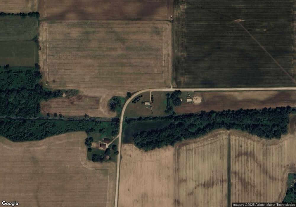
Map
Nearby Homes
- 769 Kosmerick Rd
- 0 Bawden Rd
- 644 S Matteson St
- 1015 Brink Rd
- 230 Compton St
- 1051 Brink Rd
- 1052 Carpenter Rd
- 505 W Chicago St
- 317 S Parham Rd
- 410 Franklin St
- 150 Washington St
- 234 N Lincoln St
- 325 N Lincoln St
- 368 Cranson Rd
- 688 W Chicago Rd
- 0 Rierson Rd
- 0 Gilead Shores Dr Unit 26003688
- 719 Gilead Shores Dr
- 773 Gilead Shores Dr
- 812 George Rd
- 823 Kosmerick Rd
- 832 Kosmerick Rd
- 799 Kosmerick Rd
- 512 Orland Rd
- 507 Orland Rd
- 483 Orland Rd
- 464 Orland Rd
- 845 Dewsenberry Rd
- 773 Kosmerick Rd
- 766 Kosmerick Rd
- 832 Dewsenberry Rd
- 763 Kosmerick Rd
- 854 Dewsenberry Rd
- 764 Kosmerick Rd
- 866 Dewsenberry Rd
- 489 Bawden Rd
- 876 Dewsenberry Rd
- 472 Bawden Rd
- 748 Kosmerick Rd
- 465 Cemetery Rd
Your Personal Tour Guide
Ask me questions while you tour the home.