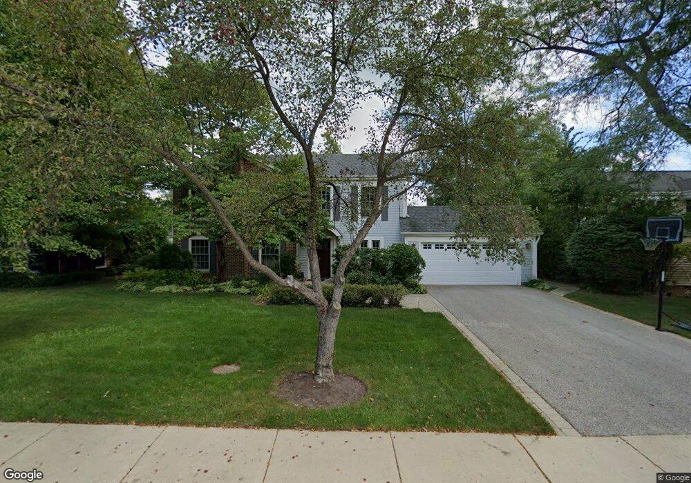
827 Smoke Tree Rd Deerfield, IL 60015
Briarwood NeighborhoodEstimated Value: $834,000 - $933,000
4
Beds
3
Baths
2,550
Sq Ft
$343/Sq Ft
Est. Value
About This Home
This home is located at 827 Smoke Tree Rd, Deerfield, IL 60015 and is currently estimated at $875,017, approximately $343 per square foot. 827 Smoke Tree Rd is a home located in Lake County with nearby schools including Kipling Elementary School, Alan B Shepard Middle School, and Deerfield High School.
Ownership History
Date
Name
Owned For
Owner Type
Purchase Details
Closed on
Apr 27, 2010
Sold by
Delott Michael R and Delott Karen M
Bought by
Aikens Davis Jake and Aikens Davis Petrin
Current Estimated Value
Home Financials for this Owner
Home Financials are based on the most recent Mortgage that was taken out on this home.
Original Mortgage
$400,000
Outstanding Balance
$269,022
Interest Rate
5.12%
Mortgage Type
Purchase Money Mortgage
Estimated Equity
$605,995
Create a Home Valuation Report for This Property
The Home Valuation Report is an in-depth analysis detailing your home's value as well as a comparison with similar homes in the area
Home Values in the Area
Average Home Value in this Area
Purchase History
| Date | Buyer | Sale Price | Title Company |
|---|---|---|---|
| Aikens Davis Jake | $475,000 | None Available |
Source: Public Records
Mortgage History
| Date | Status | Borrower | Loan Amount |
|---|---|---|---|
| Open | Aikens Davis Jake | $400,000 |
Source: Public Records
Tax History
| Year | Tax Paid | Tax Assessment Tax Assessment Total Assessment is a certain percentage of the fair market value that is determined by local assessors to be the total taxable value of land and additions on the property. | Land | Improvement |
|---|---|---|---|---|
| 2024 | $18,209 | $220,379 | $65,065 | $155,314 |
| 2023 | $19,238 | $198,647 | $58,649 | $139,998 |
| 2022 | $19,238 | $205,604 | $64,430 | $141,174 |
| 2021 | $18,231 | $198,747 | $62,281 | $136,466 |
| 2020 | $17,486 | $198,747 | $62,281 | $136,466 |
| 2019 | $17,039 | $197,818 | $61,990 | $135,828 |
| 2018 | $10,148 | $204,726 | $67,871 | $136,855 |
| 2017 | $16,757 | $203,546 | $67,480 | $136,066 |
| 2016 | $15,653 | $193,779 | $64,242 | $129,537 |
| 2015 | $15,146 | $180,042 | $59,688 | $120,354 |
| 2014 | $13,399 | $157,184 | $71,620 | $85,564 |
| 2012 | $13,007 | $158,101 | $72,038 | $86,063 |
Source: Public Records
Map
Nearby Homes
- 971 Windsor Rd
- 990 Heather Rd
- 707 Brierhill Rd
- 645 Ridge Rd
- 520 Standish Dr
- 1177 Ridge Rd
- 621 Ridge Rd
- 1236 Cavell Ave
- 1039 Deerfield Place Unit 1039
- 1334 Ferndale Ave
- 1490 Avignon Ct
- 326 Briar Ln
- 435 Kingston Terrace
- 757 Kipling Place
- 453 Longfellow Ave
- 309 Ridge Rd
- 1127 Kenton Rd
- 1672 Huntington Ln
- 50 Red Oak Ln
- 1300 Knollwood Rd
- 815 Smoke Tree Rd
- 835 Smoke Tree Rd
- 1899 Edgewood Rd
- 845 Smoke Tree Rd
- 842 Edgewood Ct
- 826 Smoke Tree Rd
- 1887 Edgewood Rd
- 834 Smoke Tree Rd
- 814 Smoke Tree Rd
- 785 Smoke Tree Rd
- 846 Smoke Tree Rd
- 790 Smoke Tree Rd
- 855 Smoke Tree Rd
- 856 Edgewood Ct
- 836 Edgewood Ct
- 1875 Edgewood Rd
- 819 Fox Hunt Trail
- 155 Millstone Rd
- 831 Fox Hunt Trail
- 775 Smoke Tree Rd
Your Personal Tour Guide
Ask me questions while you tour the home.