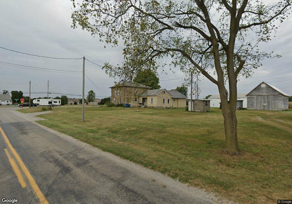
8279 Baumhart Rd Amherst, OH 44001
Estimated Value: $400,000 - $765,000
3
Beds
2
Baths
2,903
Sq Ft
$176/Sq Ft
Est. Value
About This Home
This home is located at 8279 Baumhart Rd, Amherst, OH 44001 and is currently estimated at $512,076, approximately $176 per square foot. 8279 Baumhart Rd is a home located in Lorain County with nearby schools including Firelands Elementary School, Firelands Middle School, and Firelands High School.
Ownership History
Date
Name
Owned For
Owner Type
Purchase Details
Closed on
Apr 27, 2001
Sold by
Firelands Farm Inc
Bought by
Washburn Loren J and Washburn Donna K
Current Estimated Value
Home Financials for this Owner
Home Financials are based on the most recent Mortgage that was taken out on this home.
Original Mortgage
$132,000
Outstanding Balance
$7,316
Interest Rate
7.07%
Estimated Equity
$504,760
Purchase Details
Closed on
Dec 20, 2000
Sold by
Fowell Joyce M
Bought by
The Moody Bible Institute Of Chicago
Create a Home Valuation Report for This Property
The Home Valuation Report is an in-depth analysis detailing your home's value as well as a comparison with similar homes in the area
Home Values in the Area
Average Home Value in this Area
Purchase History
| Date | Buyer | Sale Price | Title Company |
|---|---|---|---|
| Washburn Loren J | $165,000 | Midland Title | |
| The Moody Bible Institute Of Chicago | -- | -- |
Source: Public Records
Mortgage History
| Date | Status | Borrower | Loan Amount |
|---|---|---|---|
| Open | Washburn Loren J | $132,000 |
Source: Public Records
Tax History Compared to Growth
Tax History
| Year | Tax Paid | Tax Assessment Tax Assessment Total Assessment is a certain percentage of the fair market value that is determined by local assessors to be the total taxable value of land and additions on the property. | Land | Improvement |
|---|---|---|---|---|
| 2024 | $5,107 | $121,370 | $30,251 | $91,119 |
| 2023 | $3,414 | $72,258 | $20,433 | $51,825 |
| 2022 | $3,358 | $72,258 | $20,433 | $51,825 |
| 2021 | $3,355 | $72,258 | $20,433 | $51,825 |
| 2020 | $3,057 | $62,670 | $17,720 | $44,950 |
| 2019 | $3,035 | $62,670 | $17,720 | $44,950 |
| 2018 | $3,112 | $62,670 | $17,720 | $44,950 |
| 2017 | $0 | $0 | $0 | $0 |
| 2016 | $0 | $0 | $0 | $0 |
Source: Public Records
Map
Nearby Homes
- 7720 Rice Rd
- 2250 Claus Rd
- 49215 Whittlesey Rd
- 323 Westwoods
- 302 Westwoods
- 1012 Coopers Run
- 9839 Gifford Rd
- 7055 Quarry Rd Unit 95
- 7055 Quarry Rd Unit 33
- 7055 Quarry Rd Unit 370
- 7055 Quarry Rd Unit 8
- 7055 Quarry Rd Unit 98
- 7055 Quarry Rd Unit 235
- Lot B Gifford Rd
- 314 Fern St
- 814 Valley Dr
- 806 Valley Dr
- 8030 Pyle South Amherst Rd
- 6701 Crosse Rd
- 1023 N Quarry Rd
- 49998 Greystone Dr
- 49782 Greystone Dr
- 8276 Baumhart Rd
- 49600 Greystone Dr
- 49794 Greystone Dr
- 26 Greystone Cir
- 38 Greystone Dr
- 28 Greystone Cir
- 8 Greystone Dr
- 36 Greystone Dr
- 30 Greystone Dr
- 2 Greystone Dr
- 4 Greystone Dr
- 34 Greystone Dr
- 49994 Greystone Dr
- 43 Greystone Dr
- 31 Greystone Dr
- 33 Greystone Dr
- 29 Greystone Dr
- 3 Greystone Dr