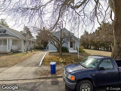
828 Briarcliff Ave Point Pleasant Boro, NJ 08742
Estimated Value: $618,439 - $670,000
4
Beds
2
Baths
2,040
Sq Ft
$315/Sq Ft
Est. Value
About This Home
This home is located at 828 Briarcliff Ave, Point Pleasant Boro, NJ 08742 and is currently estimated at $642,610, approximately $315 per square foot. 828 Briarcliff Ave is a home located in Ocean County with nearby schools including Point Pleasant High School and St. Peter School.
Ownership History
Date
Name
Owned For
Owner Type
Purchase Details
Closed on
Jul 29, 1999
Sold by
Hutchins Virginia F and Whritenour Mary Jane
Bought by
Shields Christopher J and Shields Susan G
Current Estimated Value
Home Financials for this Owner
Home Financials are based on the most recent Mortgage that was taken out on this home.
Original Mortgage
$134,000
Outstanding Balance
$44,914
Interest Rate
7.53%
Create a Home Valuation Report for This Property
The Home Valuation Report is an in-depth analysis detailing your home's value as well as a comparison with similar homes in the area
Home Values in the Area
Average Home Value in this Area
Purchase History
| Date | Buyer | Sale Price | Title Company |
|---|---|---|---|
| Shields Christopher J | $167,500 | -- |
Source: Public Records
Mortgage History
| Date | Status | Borrower | Loan Amount |
|---|---|---|---|
| Open | Shields Christopher J | $134,000 |
Source: Public Records
Tax History Compared to Growth
Tax History
| Year | Tax Paid | Tax Assessment Tax Assessment Total Assessment is a certain percentage of the fair market value that is determined by local assessors to be the total taxable value of land and additions on the property. | Land | Improvement |
|---|---|---|---|---|
| 2024 | $6,521 | $298,300 | $199,600 | $98,700 |
| 2023 | $6,387 | $298,300 | $199,600 | $98,700 |
| 2022 | $6,387 | $298,300 | $199,600 | $98,700 |
| 2021 | $6,288 | $298,300 | $199,600 | $98,700 |
| 2020 | $6,223 | $298,300 | $199,600 | $98,700 |
| 2019 | $6,139 | $298,300 | $199,600 | $98,700 |
| 2018 | $5,957 | $298,300 | $199,600 | $98,700 |
| 2017 | $5,826 | $298,300 | $199,600 | $98,700 |
| 2016 | $5,781 | $298,300 | $199,600 | $98,700 |
| 2015 | $5,712 | $298,300 | $199,600 | $98,700 |
| 2014 | $5,581 | $298,300 | $199,600 | $98,700 |
Source: Public Records
Map
Nearby Homes
- 827 Rosewood Ave
- 915 Atlantic Ave
- 820 Trenton Ave
- 916 Arnold Ave
- 622 Trenton Ave Unit 311
- 1227 Barbour Ave
- 1000 Richmond Ave
- 842 Arnold Ave Unit 2
- 842 Arnold Ave Unit 1
- 842 Arnold Ave Unit 5
- 842 Arnold Ave Unit 3
- 503 Atlantic Ave
- 1125 Arnold Ave Unit 2
- 507 Forman Ave
- 1030 Ocean Rd
- 815 Sinclair Rd
- 1115 Sampson Rd
- 1117 Sampson Rd
- 845 Arnold Ave Unit 14
- 1215 Johnson Ave
- 828 Briarcliff Ave
- 826 Briarcliff Ave
- 1104 Borden Ave
- 1106 Borden Ave
- 1103 Borden Ave
- 822 Briarcliff Ave
- 900 Clayton Ave
- 829 Briarcliff Ave
- 831 Briarcliff Ave
- 1151 Ridgefield Dr
- 1107 Borden Ave
- 825 Briarcliff Ave
- 1152 Ridgefield Dr
- 1108 Borden Ave Unit 10
- 1108 Borden Ave Unit 2
- 823 Briarcliff Ave
- 904 Clayton Ave
- 903 Clayton Ave
- 905 Ellison Ave
- 1153 Ridgefield Dr