Estimated Value: $213,049 - $225,000
3
Beds
2
Baths
1,545
Sq Ft
$140/Sq Ft
Est. Value
About This Home
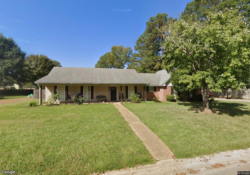
This home is located at 828 Eagles Nest Dr, Byram, MS 39272 and is currently estimated at $216,762, approximately $140 per square foot. 828 Eagles Nest Dr is a home located in Hinds County with nearby schools including Gary Road Elementary School, Gary Road Intermediate School, and Byram Middle School.
Ownership History
Date
Name
Owned For
Owner Type
Purchase Details
Closed on
Jul 31, 2009
Sold by
Greenlee William E and Greenlee Margie C
Bought by
Mckenzie Carla J
Current Estimated Value
Home Financials for this Owner
Home Financials are based on the most recent Mortgage that was taken out on this home.
Original Mortgage
$164,220
Outstanding Balance
$107,943
Interest Rate
5.37%
Estimated Equity
$108,819
Create a Home Valuation Report for This Property
The Home Valuation Report is an in-depth analysis detailing your home's value as well as a comparison with similar homes in the area
Home Values in the Area
Average Home Value in this Area
Purchase History
| Date | Buyer | Sale Price | Title Company |
|---|---|---|---|
| Mckenzie Carla J | -- | -- |
Source: Public Records
Mortgage History
| Date | Status | Borrower | Loan Amount |
|---|---|---|---|
| Open | Mckenzie Carla J | $164,220 |
Source: Public Records
Tax History
| Year | Tax Paid | Tax Assessment Tax Assessment Total Assessment is a certain percentage of the fair market value that is determined by local assessors to be the total taxable value of land and additions on the property. | Land | Improvement |
|---|---|---|---|---|
| 2025 | $625 | $11,752 | $2,500 | $9,252 |
| 2024 | $625 | $11,494 | $2,500 | $8,994 |
| 2023 | $625 | $11,494 | $2,500 | $8,994 |
| 2022 | $1,768 | $11,494 | $2,500 | $8,994 |
| 2021 | $1,445 | $11,494 | $2,500 | $8,994 |
| 2020 | $1,400 | $11,345 | $2,500 | $8,845 |
| 2019 | $1,392 | $11,345 | $2,500 | $8,845 |
| 2018 | $1,392 | $11,345 | $2,500 | $8,845 |
| 2017 | $1,360 | $11,345 | $2,500 | $8,845 |
| 2016 | $1,360 | $11,345 | $2,500 | $8,845 |
| 2015 | $1,343 | $11,224 | $2,500 | $8,724 |
| 2014 | $1,320 | $11,224 | $2,500 | $8,724 |
Source: Public Records
Map
Nearby Homes
- 8834 Gary Rd
- 610 Ridge Place
- 0 Terry Rd Unit 24270230
- 0 Terry Rd Unit 4135800
- 0 Terry Rd Unit 4130083
- 2120 Meagan Dr
- 324 Martha Dr
- 816 Fairway Ave
- 100 Lucas Ct
- 820 Fairway Ave
- 109 Lucas Ct
- 699 Meadow Ln
- 824 Fairway Ave
- 224 Brannan Ave
- 504 Parker Dr
- 5906 Terry Rd
- 0 Byram Place
- 812 Fairway Ave
- 801 Fairway Ave
- 808 Fairway Ave
- 826 Eagles Nest Dr
- 794 Highpoint Dr
- 798 Highpoint Dr
- 790 Highpoint Dr
- 827 Eagles Nest Dr
- 825 Eagles Nest Dr
- 824 Eagles Nest Dr
- 823 Eagles Nest Dr
- 786 Highpoint Dr
- 974 Highpoint Dr
- 822 Eagles Nest Dr
- 821 Eagles Nest Dr
- 942 Mountain Crest Dr
- 782 Highpoint Dr
- 791 Highpoint Dr
- 795 Highpoint Dr
- 914 Mountain Crest Dr
- 916 Mountain Crest Dr
- 787 Highpoint Dr
- 912 Mountain Crest Dr
Your Personal Tour Guide
Ask me questions while you tour the home.