828 Farmers Branch Rd Whigham, GA 39897
Estimated Value: $90,000 - $178,000
--
Bed
--
Bath
--
Sq Ft
7.82
Acres
About This Home
This home is located at 828 Farmers Branch Rd, Whigham, GA 39897 and is currently estimated at $113,966. 828 Farmers Branch Rd is a home.
Ownership History
Date
Name
Owned For
Owner Type
Purchase Details
Closed on
Aug 6, 2015
Sold by
Bahl Randy
Bought by
Adkins Timothy A and Adkins Teresa E
Current Estimated Value
Purchase Details
Closed on
Oct 27, 2011
Sold by
Avignone Jill A
Bought by
Bahl Randy and Bahl Valerie
Purchase Details
Closed on
Jan 20, 2004
Sold by
Avignone Jill
Bought by
Srephens Arthur Lynn
Purchase Details
Closed on
Aug 28, 2003
Sold by
Heber John C
Bought by
Avignone Jill
Purchase Details
Closed on
Nov 9, 1988
Bought by
Heber John C
Create a Home Valuation Report for This Property
The Home Valuation Report is an in-depth analysis detailing your home's value as well as a comparison with similar homes in the area
Home Values in the Area
Average Home Value in this Area
Purchase History
| Date | Buyer | Sale Price | Title Company |
|---|---|---|---|
| Adkins Timothy A | $45,000 | -- | |
| Bahl Randy | $90,276 | -- | |
| Srephens Arthur Lynn | -- | -- | |
| Avignone Jill | $26,000 | -- | |
| Heber John C | $60,000 | -- |
Source: Public Records
Tax History Compared to Growth
Tax History
| Year | Tax Paid | Tax Assessment Tax Assessment Total Assessment is a certain percentage of the fair market value that is determined by local assessors to be the total taxable value of land and additions on the property. | Land | Improvement |
|---|---|---|---|---|
| 2024 | $587 | $19,082 | $16,944 | $2,138 |
| 2023 | $554 | $17,997 | $11,261 | $6,736 |
| 2022 | $554 | $17,997 | $11,261 | $6,736 |
| 2021 | $556 | $17,997 | $11,261 | $6,736 |
| 2020 | $558 | $17,997 | $11,261 | $6,736 |
| 2019 | $558 | $17,997 | $11,261 | $6,736 |
| 2018 | $524 | $17,997 | $11,261 | $6,736 |
| 2017 | $498 | $17,997 | $11,261 | $6,736 |
| 2016 | $501 | $17,996 | $11,261 | $6,736 |
| 2015 | $495 | $17,996 | $11,261 | $6,736 |
| 2014 | $496 | $17,996 | $11,261 | $6,736 |
| 2013 | -- | $20,530 | $13,794 | $6,735 |
Source: Public Records
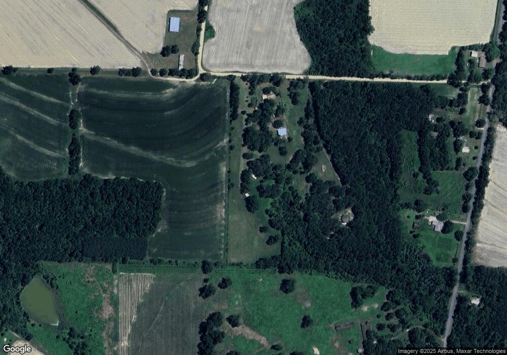
Map
Nearby Homes
- 00 Tired Creek Rd
- 316 Faircloth Rd
- 3695 Tired Creek Rd
- 1718 Old 179 S
- 198 2nd Ave
- 235 2nd Ave
- 723 Providence Rd
- 267 Providence Rd
- 292 Sykes Mill Rd
- 165 Larkin St
- 4258 Lower Hawthorne Trail
- 206 Lodge Ln
- 000 Magnolia Dr NW
- 171 Council Ln
- 421 Antioch Church Rd
- 7667 Tallahassee Hwy
- 4761 Hadley Ferry Road (428+ - Acres)
- 114 Emily Ln
- 115 Isabelle Ln
- 48 Blue Bird Ct