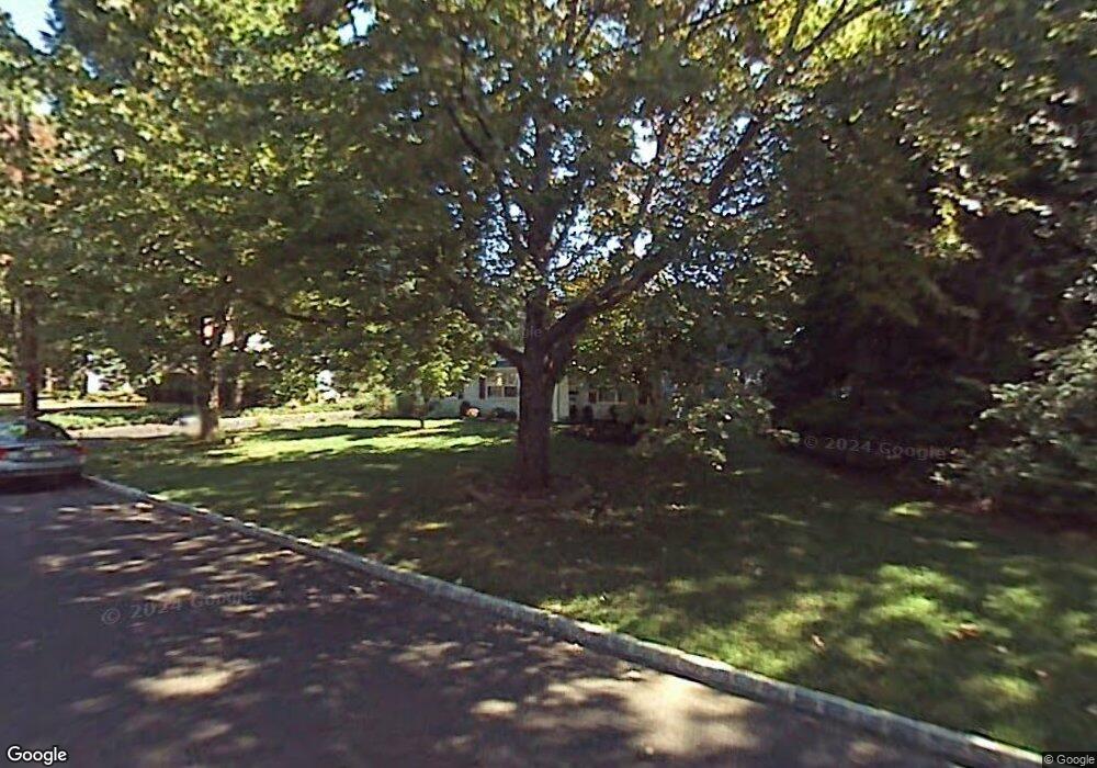
828 Hawthorne Ave Bound Brook, NJ 08805
Estimated Value: $601,000 - $773,000
--
Bed
--
Bath
2,511
Sq Ft
$262/Sq Ft
Est. Value
About This Home
This home is located at 828 Hawthorne Ave, Bound Brook, NJ 08805 and is currently estimated at $657,870, approximately $261 per square foot. 828 Hawthorne Ave is a home located in Somerset County with nearby schools including Adamsville Primary School, Bridgewater-Raritan Middle School, and Hillside Intermediate School.
Ownership History
Date
Name
Owned For
Owner Type
Purchase Details
Closed on
Oct 23, 1995
Sold by
Zamorski Andrew
Bought by
Landau Steven and Landau Maria
Current Estimated Value
Home Financials for this Owner
Home Financials are based on the most recent Mortgage that was taken out on this home.
Original Mortgage
$125,000
Outstanding Balance
$877
Interest Rate
7.6%
Estimated Equity
$656,993
Create a Home Valuation Report for This Property
The Home Valuation Report is an in-depth analysis detailing your home's value as well as a comparison with similar homes in the area
Home Values in the Area
Average Home Value in this Area
Purchase History
| Date | Buyer | Sale Price | Title Company |
|---|---|---|---|
| Landau Steven | $215,000 | -- |
Source: Public Records
Mortgage History
| Date | Status | Borrower | Loan Amount |
|---|---|---|---|
| Open | Landau Steven | $125,000 |
Source: Public Records
Tax History Compared to Growth
Tax History
| Year | Tax Paid | Tax Assessment Tax Assessment Total Assessment is a certain percentage of the fair market value that is determined by local assessors to be the total taxable value of land and additions on the property. | Land | Improvement |
|---|---|---|---|---|
| 2025 | $10,277 | $528,600 | $217,200 | $311,400 |
| 2024 | $10,277 | $521,400 | $217,200 | $304,200 |
| 2023 | $9,341 | $465,400 | $217,200 | $248,200 |
| 2022 | $8,826 | $426,300 | $212,200 | $214,100 |
| 2021 | $8,751 | $414,000 | $212,200 | $201,800 |
| 2020 | $8,752 | $411,300 | $212,200 | $199,100 |
| 2019 | $8,751 | $407,200 | $212,200 | $195,000 |
| 2018 | $8,642 | $403,100 | $212,200 | $190,900 |
| 2017 | $8,367 | $389,900 | $212,200 | $177,700 |
| 2016 | $7,747 | $366,300 | $197,200 | $169,100 |
| 2015 | $7,677 | $363,300 | $197,200 | $166,100 |
| 2014 | $7,583 | $353,500 | $197,200 | $156,300 |
Source: Public Records
Map
Nearby Homes
- 811 Mountain Ave
- 807 Watchung Rd
- 1891 Middlebrook Rd
- 180 Farm Ln
- 745 Schoolhouse Ln
- 650 Central Ave
- 1820 Woodland Terrace
- 363 Grant Ave
- 149 Mulberry Ln
- 205 Ashland Rd
- 563 Winsor St
- 311 Ashland Rd
- 27 Shearn Dr
- 14 E Maple Ave
- 116 Greene Ave
- 520 Winsor St
- 112 E Union Ave
- 112-114 E Union Ave
- 231 Fairview Ave
- 320 Church St
- 822 Hawthorne Ave
- 834 Hawthorne Ave
- 827 Thomae Ave
- 821 Thomae Ave
- 833 Thomae Ave
- 816 Hawthorne Ave
- 827 Hawthorne Ave
- 840 Hawthorne Ave
- 821 Hawthorne Ave
- 833 Hawthorne Ave
- 815 Thomae Ave
- 839 Hawthorne Ave
- 815 Hawthorne Ave
- 810 Hawthorne Ave
- 272 Nagle St
- 266 Nagle St
- 809 Thomae Ave
- 260 Nagle St
- 828 Park Ave
- 809 Hawthorne Ave