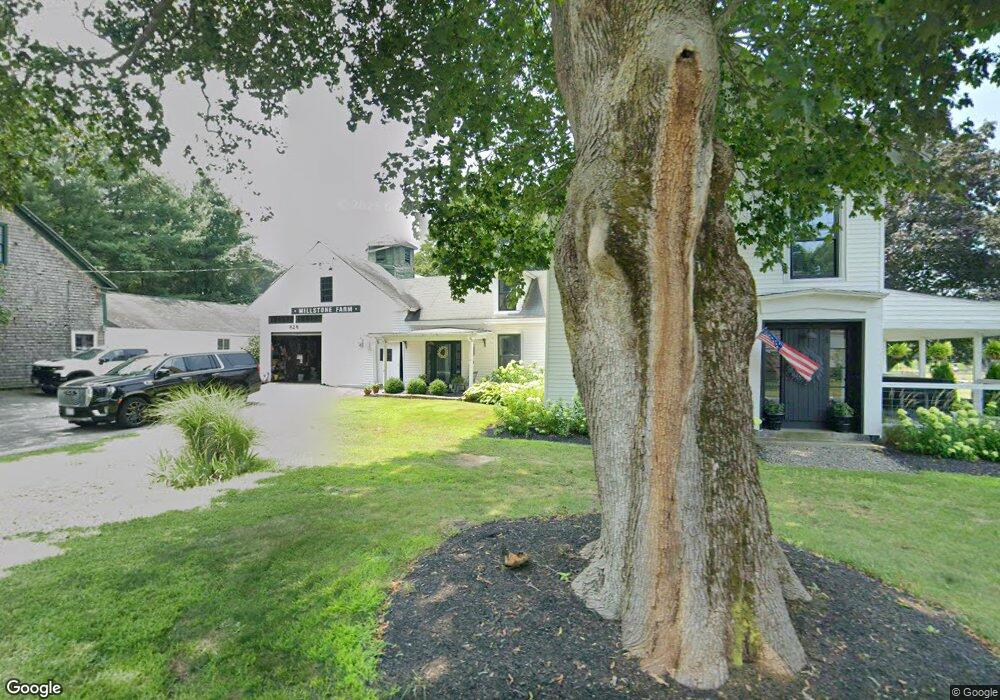
828 Hill Rd Boxborough, MA 01719
Estimated Value: $792,199 - $1,095,000
4
Beds
1
Bath
2,000
Sq Ft
$472/Sq Ft
Est. Value
About This Home
This home is located at 828 Hill Rd, Boxborough, MA 01719 and is currently estimated at $943,300, approximately $471 per square foot. 828 Hill Rd is a home located in Middlesex County with nearby schools including Acton-Boxborough Regional High School.
Ownership History
Date
Name
Owned For
Owner Type
Purchase Details
Closed on
Dec 6, 2018
Sold by
Marley Wendy L
Bought by
Morrison Brian A and Morrison Anastasia C
Current Estimated Value
Purchase Details
Closed on
Sep 30, 2010
Sold by
Morrison Nancy Lee and Sawisch Barbara Jane
Bought by
Morrison Brian A and Morrison Anastasia C
Home Financials for this Owner
Home Financials are based on the most recent Mortgage that was taken out on this home.
Original Mortgage
$250,000
Interest Rate
4.44%
Mortgage Type
Purchase Money Mortgage
Purchase Details
Closed on
Dec 12, 2006
Sold by
Robinson Homestea Farm
Bought by
Robinson Barbara
Create a Home Valuation Report for This Property
The Home Valuation Report is an in-depth analysis detailing your home's value as well as a comparison with similar homes in the area
Home Values in the Area
Average Home Value in this Area
Purchase History
| Date | Buyer | Sale Price | Title Company |
|---|---|---|---|
| Morrison Brian A | -- | -- | |
| Morrison Brian A | $500,000 | -- | |
| Robinson Barbara | -- | -- |
Source: Public Records
Mortgage History
| Date | Status | Borrower | Loan Amount |
|---|---|---|---|
| Previous Owner | Morrison Brian A | $250,000 |
Source: Public Records
Tax History
| Year | Tax Paid | Tax Assessment Tax Assessment Total Assessment is a certain percentage of the fair market value that is determined by local assessors to be the total taxable value of land and additions on the property. | Land | Improvement |
|---|---|---|---|---|
| 2025 | $9,842 | $650,045 | $310,445 | $339,600 |
| 2024 | $9,563 | $637,984 | $298,384 | $339,600 |
| 2023 | $8,708 | $561,073 | $257,473 | $303,600 |
| 2022 | $8,637 | $495,785 | $257,385 | $238,400 |
| 2020 | $8,261 | $494,058 | $257,258 | $236,800 |
| 2019 | $8,112 | $494,058 | $257,258 | $236,800 |
| 2018 | $13,389 | $478,603 | $245,303 | $233,300 |
| 2017 | $8,290 | $461,140 | $245,440 | $215,700 |
| 2016 | $7,535 | $460,592 | $245,192 | $215,400 |
| 2015 | $6,885 | $413,492 | $211,092 | $202,400 |
| 2014 | $7,025 | $397,125 | $205,025 | $192,100 |
Source: Public Records
Map
Nearby Homes
- 959 Hill Rd
- 79 Old Orchard Ln
- 36 Leonard Rd
- 15 Spencer Rd Unit 12E
- 50 Spencer Rd Unit 12L
- 53 Swanson Ct Unit 24C
- 220 Swanson Rd Unit 605
- 220 Swanson Rd Unit 606
- 220 Swanson Rd Unit 604
- 20 Lyons Ln Unit 20
- 77 Wheeler Dr Unit 77
- 119 Taylor St
- 276 Codman Hill Rd Unit 36A
- 310 Codman Hill Rd Unit 35D
- 4 Old Meadow Ln
- 4 Littlefield Rd
- 40 Fifers Ln
- 3 Taylor St
- 8 Woodchuck Hill Rd
- 305 Harwood Ave
Your Personal Tour Guide
Ask me questions while you tour the home.