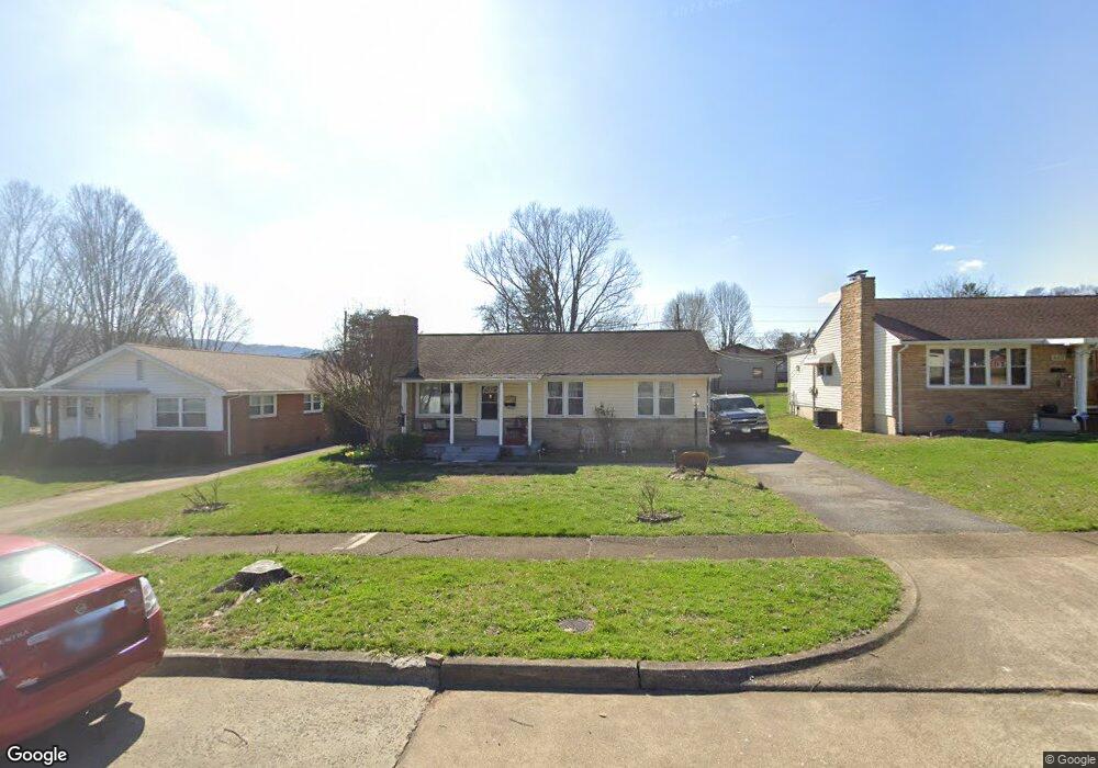
828 Morison Ave Kingsport, TN 37660
Estimated Value: $191,000 - $231,000
3
Beds
1
Bath
1,835
Sq Ft
$114/Sq Ft
Est. Value
About This Home
This home is located at 828 Morison Ave, Kingsport, TN 37660 and is currently estimated at $209,488, approximately $114 per square foot. 828 Morison Ave is a home located in Sullivan County with nearby schools including Theodore Roosevelt Elementary School, John Sevier Middle School, and Ross N. Robinson Middle School.
Ownership History
Date
Name
Owned For
Owner Type
Purchase Details
Closed on
Jul 15, 2009
Sold by
Greene John D
Bought by
Greene John D Nellie C
Current Estimated Value
Purchase Details
Closed on
Oct 31, 2003
Sold by
Riddle Hobart S
Bought by
Greene John D
Home Financials for this Owner
Home Financials are based on the most recent Mortgage that was taken out on this home.
Original Mortgage
$80,580
Interest Rate
5.75%
Mortgage Type
VA
Create a Home Valuation Report for This Property
The Home Valuation Report is an in-depth analysis detailing your home's value as well as a comparison with similar homes in the area
Home Values in the Area
Average Home Value in this Area
Purchase History
| Date | Buyer | Sale Price | Title Company |
|---|---|---|---|
| Greene John D Nellie C | -- | -- | |
| Greene John D | $79,000 | -- |
Source: Public Records
Mortgage History
| Date | Status | Borrower | Loan Amount |
|---|---|---|---|
| Previous Owner | Greene John D | $80,580 |
Source: Public Records
Tax History Compared to Growth
Tax History
| Year | Tax Paid | Tax Assessment Tax Assessment Total Assessment is a certain percentage of the fair market value that is determined by local assessors to be the total taxable value of land and additions on the property. | Land | Improvement |
|---|---|---|---|---|
| 2024 | -- | $25,300 | $2,425 | $22,875 |
| 2023 | $1,115 | $25,300 | $2,425 | $22,875 |
| 2022 | $1,115 | $25,300 | $2,425 | $22,875 |
| 2021 | $1,084 | $25,300 | $2,425 | $22,875 |
| 2020 | $618 | $25,300 | $2,425 | $22,875 |
| 2019 | $1,114 | $24,050 | $2,425 | $21,625 |
| 2018 | $1,088 | $24,050 | $2,425 | $21,625 |
| 2017 | $1,088 | $24,050 | $2,425 | $21,625 |
| 2016 | $1,058 | $22,775 | $2,425 | $20,350 |
| 2014 | $996 | $22,772 | $0 | $0 |
Source: Public Records
Map
Nearby Homes
- 917 Walnut Ave
- 830 Fairview Ave
- 722 Fairview Ave
- 605 Robin Ln
- 702 Riverside Ave
- 601 Fairview Ave
- 529 Walnut Ave
- 1109 Tay Station
- 626 Riverside Ave
- 1320 Mimosa Dr
- 1133 Tay Station
- 1104 Tay Station
- 1413 Gress Mag Mountain
- 1237 Stamp Lodge Rd
- 1245 Stamp Lodge Rd
- 1249 Stamp Lodge Rd
- 0 Stonegate Rd
- 1244 Stamp Lodge Rd
- 1221 W Sullivan St
- 1118 Hampton Ave
- 832 Morison Ave
- 824 Morison Ave
- 836 Morison Ave
- 820 Morison Ave
- 817 Walnut Ave
- 825 Walnut Ave
- 809 Walnut Ave
- 840 Morison Ave
- 829 Morison Ave
- 812 Morison Ave
- 837 Morison Ave
- 833 Walnut Ave
- 805 Walnut Ave
- 825 Morison Ave
- 902 Morison Ave
- 817 Morison Ave
- 801 Walnut Ave
- 901 Walnut Ave
- 906 Morison Ave
- 836 Carlisle Dr