8280 Hubbard Rd Auburn, CA 95602
Estimated Value: $577,000 - $729,000
2
Beds
2
Baths
1,536
Sq Ft
$429/Sq Ft
Est. Value
About This Home
This home is located at 8280 Hubbard Rd, Auburn, CA 95602 and is currently estimated at $659,258, approximately $429 per square foot. 8280 Hubbard Rd is a home located in Placer County with nearby schools including Auburn Elementary School and Placer High School.
Ownership History
Date
Name
Owned For
Owner Type
Purchase Details
Closed on
Jul 16, 2019
Sold by
Baynard David and Baynard Mary
Bought by
Baynard David L and Baynard Mary A
Current Estimated Value
Purchase Details
Closed on
Aug 26, 2002
Sold by
Mull Phyllis M
Bought by
Baynard David and Baynard Mary
Home Financials for this Owner
Home Financials are based on the most recent Mortgage that was taken out on this home.
Original Mortgage
$100,000
Interest Rate
6.29%
Mortgage Type
Purchase Money Mortgage
Create a Home Valuation Report for This Property
The Home Valuation Report is an in-depth analysis detailing your home's value as well as a comparison with similar homes in the area
Purchase History
We collect this data history from publicly available records. To have your information removed, we recommend requesting removal directly through your county’s website.
| Date | Buyer | Sale Price | Title Company |
|---|---|---|---|
| Baynard David L | -- | None Available | |
| Baynard David | $355,000 | First American Title Ins Co |
Source: Public Records
Mortgage History
We collect this data history from publicly available records. To have your information removed, we recommend requesting removal directly through your county’s website.
| Date | Status | Borrower | Loan Amount |
|---|---|---|---|
| Closed | Baynard David | $100,000 |
Source: Public Records
Tax History
| Year | Tax Paid | Tax Assessment Tax Assessment Total Assessment is a certain percentage of the fair market value that is determined by local assessors to be the total taxable value of land and additions on the property. | Land | Improvement |
|---|---|---|---|---|
| 2025 | $5,293 | $514,134 | $130,338 | $383,796 |
| 2023 | $5,293 | $494,172 | $125,278 | $368,894 |
| 2022 | $5,209 | $484,483 | $122,822 | $361,661 |
| 2021 | $5,023 | $474,984 | $120,414 | $354,570 |
| 2020 | $4,988 | $470,115 | $119,180 | $350,935 |
| 2019 | $4,895 | $460,898 | $116,844 | $344,054 |
| 2018 | $4,631 | $451,861 | $114,553 | $337,308 |
| 2017 | $4,548 | $443,002 | $112,307 | $330,695 |
| 2016 | $4,453 | $434,316 | $110,105 | $324,211 |
| 2015 | $4,345 | $427,794 | $108,452 | $319,342 |
| 2014 | $4,279 | $419,415 | $106,328 | $313,087 |
Source: Public Records
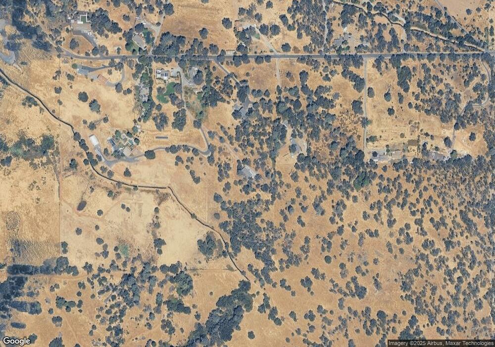
Map
Nearby Homes
- 10165 Coyote Ridge Ct
- 10490 Hubbard Rd
- 4220 Miller Oak Dr
- 10925 Joeger Rd
- 8422 Memory Ln
- 10585 Joeger Rd
- 10767 Joeger Rd
- 9290 Cramer Rd
- 3900 Cold Stream Rd
- 5990 Upper Ridge Way
- 3775 Bell Rd
- 7045 Mount Vernon Rd
- 3835 Deer Ridge Ln
- 10805 Cramer Rd
- 4090 River Woods Dr
- 11700 Quail Rd
- 11010 Tahoe St
- 3582 Bell Rd
- 2923 China Well Rd
- 11524 Sherwood Way
- 8550 Hubbard Rd
- 8440 Hubbard Rd
- 8540 Hubbard Rd
- 8290 Hubbard Rd
- 8220 Hubbard Rd
- 8080 Hubbard Rd
- 8200 Hubbard Rd
- 8260 Hubbard Rd
- 8485 Hubbard Rd
- 8191 Hubbard Rd
- 8625 Hubbard Rd
- 8870 Hubbard Rd
- 8725 Hubbard Rd
- 7950 Hubbard Rd
- 7935 Hubbard Rd
- 8875 Hubbard Rd
- 9101 Hubbard Rd
- 0 Hubbard Ln Unit 14066992
- 9010 Hubbard Rd
- 9300 Hubbard Rd
Your Personal Tour Guide
Ask me questions while you tour the home.