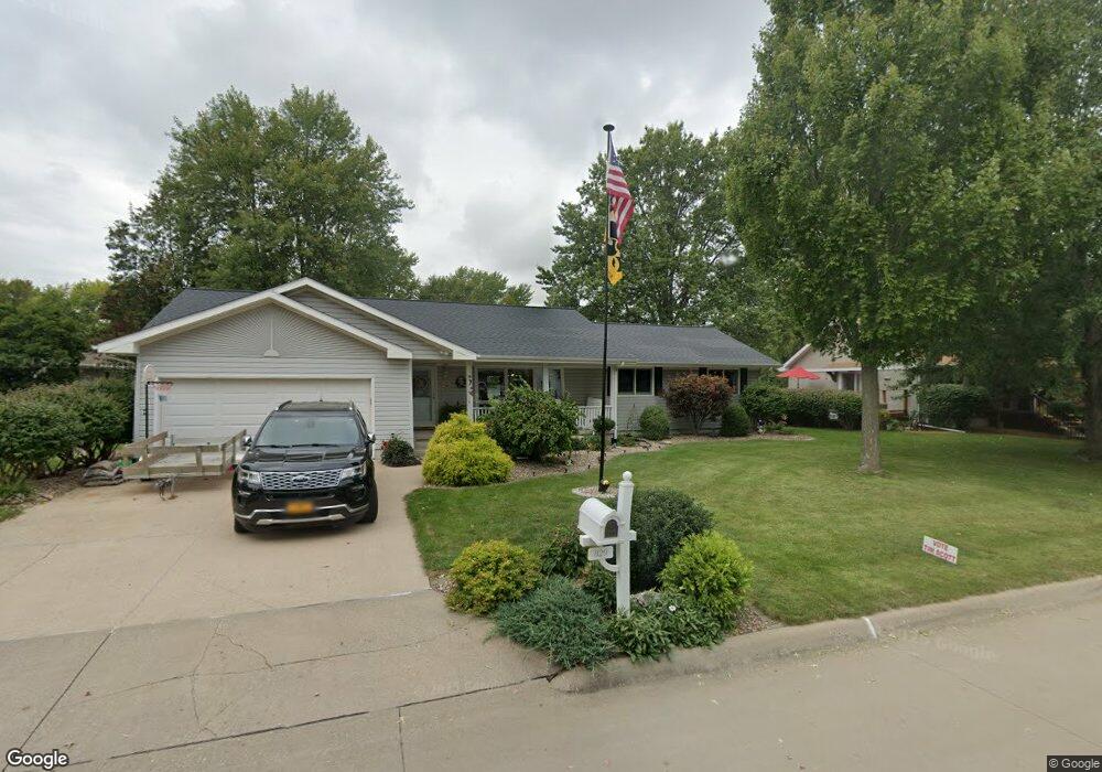
829 Cindy Dr Burlington, IA 52601
Estimated Value: $297,000 - $323,000
5
Beds
3
Baths
1,888
Sq Ft
$164/Sq Ft
Est. Value
About This Home
This home is located at 829 Cindy Dr, Burlington, IA 52601 and is currently estimated at $309,121, approximately $163 per square foot. 829 Cindy Dr is a home located in Des Moines County with nearby schools including Burlington Community High School, Burlington Notre Dame Catholic Elementary School, and Burlington Notre Dame Junior/Senior High School.
Ownership History
Date
Name
Owned For
Owner Type
Purchase Details
Closed on
Jun 28, 2021
Sold by
Roewe Rhonda G
Bought by
Reich Trust
Current Estimated Value
Home Financials for this Owner
Home Financials are based on the most recent Mortgage that was taken out on this home.
Original Mortgage
$143,500
Outstanding Balance
$129,921
Interest Rate
2.9%
Mortgage Type
New Conventional
Estimated Equity
$179,200
Purchase Details
Closed on
Jun 15, 2021
Sold by
Carnes Ronald L and Carnes Joanne S
Bought by
Havlik Carrie S and Daniels Julie L
Home Financials for this Owner
Home Financials are based on the most recent Mortgage that was taken out on this home.
Original Mortgage
$143,500
Outstanding Balance
$129,921
Interest Rate
2.9%
Mortgage Type
New Conventional
Estimated Equity
$179,200
Purchase Details
Closed on
Nov 10, 2020
Sold by
Espr006344 Raymond F Roewe Estate
Bought by
Roewe Rhonda G
Create a Home Valuation Report for This Property
The Home Valuation Report is an in-depth analysis detailing your home's value as well as a comparison with similar homes in the area
Home Values in the Area
Average Home Value in this Area
Purchase History
| Date | Buyer | Sale Price | Title Company |
|---|---|---|---|
| Reich Trust | $267,500 | None Available | |
| Havlik Carrie S | $193,500 | None Available | |
| Roewe Rhonda G | -- | None Available |
Source: Public Records
Mortgage History
| Date | Status | Borrower | Loan Amount |
|---|---|---|---|
| Open | Havlik Carrie S | $143,500 |
Source: Public Records
Tax History Compared to Growth
Tax History
| Year | Tax Paid | Tax Assessment Tax Assessment Total Assessment is a certain percentage of the fair market value that is determined by local assessors to be the total taxable value of land and additions on the property. | Land | Improvement |
|---|---|---|---|---|
| 2025 | $5,614 | $358,300 | $25,700 | $332,600 |
| 2024 | $5,614 | $312,900 | $25,700 | $287,200 |
| 2023 | $5,014 | $312,900 | $25,700 | $287,200 |
| 2022 | $5,050 | $257,000 | $25,700 | $231,300 |
| 2021 | $5,050 | $257,000 | $25,700 | $231,300 |
| 2020 | $5,386 | $257,000 | $25,700 | $231,300 |
| 2019 | $4,646 | $257,000 | $25,700 | $231,300 |
| 2018 | $4,648 | $210,400 | $24,800 | $185,600 |
| 2017 | $4,610 | $204,200 | $0 | $0 |
| 2016 | $4,426 | $203,100 | $0 | $0 |
| 2015 | $4,426 | $203,100 | $0 | $0 |
| 2014 | $4,484 | $181,500 | $0 | $0 |
Source: Public Records
Map
Nearby Homes
- 906 Westland Dr
- 2912 Garden Ave
- 913 Lawrence Dr
- 930 Horizon St
- 2732 Meadowbrook Dr
- 2512 Clearview Dr
- 2600 Amelia St
- 1116 Willow Ave
- 14528 S Highway 61
- 2204 Williams St
- 513 Hagemann Ave
- 915 Hagemann Ave
- 123 Shields St
- 817 S Plane St
- TBD S Highway 61
- 526 S Plane St
- 420 S Plane St
- 809 S Starr Ave
- 2020 Dill St
- 410 S Starr Ave