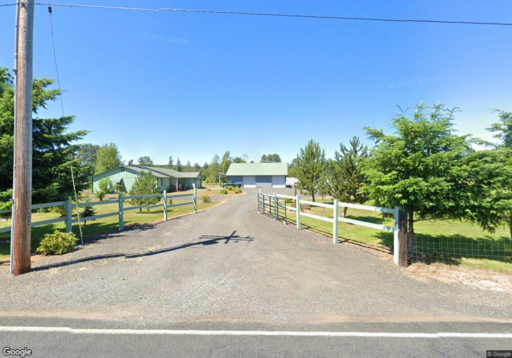
829 Gish Rd Onalaska, WA 98570
Estimated Value: $612,000 - $749,066
3
Beds
2
Baths
2,025
Sq Ft
$328/Sq Ft
Est. Value
About This Home
This home is located at 829 Gish Rd, Onalaska, WA 98570 and is currently estimated at $663,689, approximately $327 per square foot. 829 Gish Rd is a home located in Lewis County with nearby schools including Onalaska Elementary School and Onalaska High School.
Ownership History
Date
Name
Owned For
Owner Type
Purchase Details
Closed on
Jul 15, 2011
Sold by
Fannie Mae
Bought by
Blanset Kenneth R and Blanset Teresa Ann
Current Estimated Value
Home Financials for this Owner
Home Financials are based on the most recent Mortgage that was taken out on this home.
Original Mortgage
$130,000
Outstanding Balance
$9,228
Interest Rate
3.64%
Mortgage Type
New Conventional
Estimated Equity
$654,461
Purchase Details
Closed on
Feb 11, 2011
Sold by
Isguerra Abel and Isguerra Maria
Bought by
Federal National Mortgage Association
Create a Home Valuation Report for This Property
The Home Valuation Report is an in-depth analysis detailing your home's value as well as a comparison with similar homes in the area
Purchase History
| Date | Buyer | Sale Price | Title Company |
|---|---|---|---|
| Blanset Kenneth R | $230,000 | Multiple | |
| Federal National Mortgage Association | $245,000 | Lewis County Title |
Source: Public Records
Mortgage History
| Date | Status | Borrower | Loan Amount |
|---|---|---|---|
| Open | Blanset Kenneth R | $130,000 |
Source: Public Records
Tax History
| Year | Tax Paid | Tax Assessment Tax Assessment Total Assessment is a certain percentage of the fair market value that is determined by local assessors to be the total taxable value of land and additions on the property. | Land | Improvement |
|---|---|---|---|---|
| 2024 | $4,906 | $696,800 | $252,900 | $443,900 |
| 2023 | $4,726 | $645,100 | $186,400 | $458,700 |
| 2022 | $4,176 | $489,800 | $147,800 | $342,000 |
| 2021 | $3,768 | $489,800 | $147,800 | $342,000 |
| 2020 | $3,801 | $428,000 | $123,100 | $304,900 |
| 2019 | $3,402 | $406,500 | $123,100 | $283,400 |
| 2018 | $3,163 | $356,400 | $108,000 | $248,400 |
| 2017 | $2,909 | $319,400 | $93,200 | $226,200 |
Source: Public Records
Map
Nearby Homes
- 196 Jensen Rd
- 126 Burchett Rd
- 182-51 Burchett Rd
- 4311 State 508
- 0 Gore Rd Unit NWM2370858
- 0 Sunburst Ln Unit NWM2293308
- 49 Sunburst Ln
- 18 Sunburst Ln
- 0 State Highway 508 Unit NWM2150571
- 132 Quiet Acres Dr
- 150 Jorgensen Rd
- 0 State Hwy 12
- 1296 U S 12
- 0 Kiser Rd Unit NWM2399084
- 188 Birchfield Pkwy
- 253 Kruger Rd Unit B
- 110 Sequoia Ln
- 108 Sequoia Ln
- 119 Redwood Ln
- 123 Redwood Ln
Your Personal Tour Guide
Ask me questions while you tour the home.