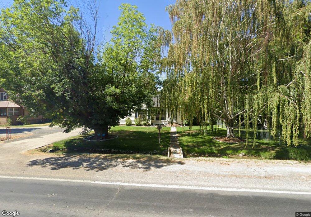
829 Main St N Kimberly, ID 83341
Estimated Value: $332,342 - $413,000
3
Beds
1
Bath
2,240
Sq Ft
$160/Sq Ft
Est. Value
About This Home
This home is located at 829 Main St N, Kimberly, ID 83341 and is currently estimated at $358,086, approximately $159 per square foot. 829 Main St N is a home located in Twin Falls County with nearby schools including Kimberly Elementary School, STRICKER ELEMENTARY SCHOOL, and Kimberly Middle School.
Ownership History
Date
Name
Owned For
Owner Type
Purchase Details
Closed on
Feb 5, 2009
Sold by
Clifford Nathan
Bought by
50 By 50 Reo Llc
Current Estimated Value
Purchase Details
Closed on
Oct 26, 2006
Sold by
Clifford Alicia S
Bought by
Clifford Nathan
Home Financials for this Owner
Home Financials are based on the most recent Mortgage that was taken out on this home.
Original Mortgage
$124,000
Interest Rate
8.75%
Mortgage Type
Adjustable Rate Mortgage/ARM
Purchase Details
Closed on
Oct 24, 2006
Sold by
Molesworth Dale
Bought by
Clifford Nathan
Home Financials for this Owner
Home Financials are based on the most recent Mortgage that was taken out on this home.
Original Mortgage
$124,000
Interest Rate
8.75%
Mortgage Type
Adjustable Rate Mortgage/ARM
Create a Home Valuation Report for This Property
The Home Valuation Report is an in-depth analysis detailing your home's value as well as a comparison with similar homes in the area
Home Values in the Area
Average Home Value in this Area
Purchase History
| Date | Buyer | Sale Price | Title Company |
|---|---|---|---|
| 50 By 50 Reo Llc | $136,685 | -- | |
| Clifford Nathan | -- | -- | |
| Clifford Nathan | -- | -- |
Source: Public Records
Mortgage History
| Date | Status | Borrower | Loan Amount |
|---|---|---|---|
| Previous Owner | Clifford Nathan | $124,000 | |
| Previous Owner | Clifford Nathan | $31,000 |
Source: Public Records
Tax History Compared to Growth
Tax History
| Year | Tax Paid | Tax Assessment Tax Assessment Total Assessment is a certain percentage of the fair market value that is determined by local assessors to be the total taxable value of land and additions on the property. | Land | Improvement |
|---|---|---|---|---|
| 2025 | $3,118 | $292,962 | $86,042 | $206,920 |
| 2024 | $3,118 | $292,962 | $86,042 | $206,920 |
| 2023 | $3,449 | $319,122 | $86,042 | $233,080 |
| 2022 | $3,534 | $289,689 | $46,019 | $243,670 |
| 2021 | $3,821 | $228,750 | $29,425 | $199,325 |
| 2020 | $2,790 | $164,385 | $29,425 | $134,960 |
| 2019 | $2,974 | $161,918 | $29,425 | $132,493 |
| 2018 | $3,079 | $160,970 | $19,592 | $141,378 |
| 2017 | $2,769 | $140,584 | $19,592 | $120,992 |
| 2016 | $2,368 | $115,622 | $0 | $0 |
| 2015 | $2,379 | $115,622 | $19,592 | $96,030 |
| 2012 | -- | $120,884 | $0 | $0 |
Source: Public Records
Map
Nearby Homes
- 180 Polk St E
- 152 U S 30
- 1141 Sunset Ln
- 1041 Lupine Ln
- 4028 3500 E
- 815 Emerald Dr N
- 910 Blueridge Dr
- 309 Tamarac St
- 840 Cottonridge Way
- 345 Center St W
- 325 Center St E
- 510 Center St E
- 1021 Ballard Ln
- 1020 Kelly Ave
- 305 Lucille St
- 942 Paintbrush Ave
- 934 Vista Ave
- 944 Vista Ave
- 715 Center St E Unit 22
- 770 Sunnyridge Ct E