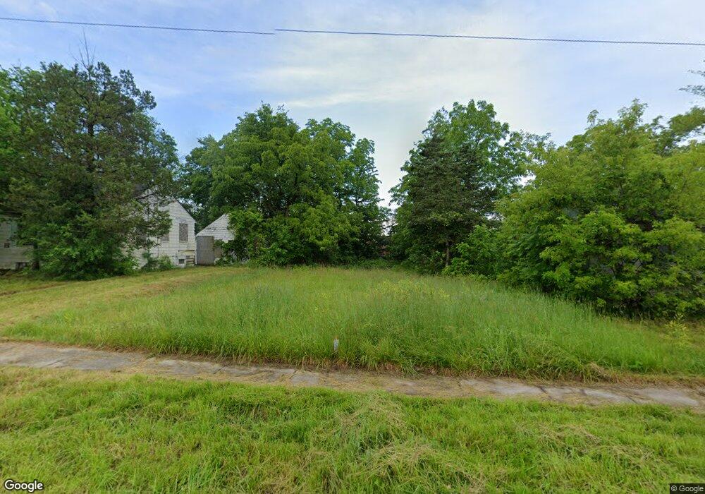
829 Stevenson St Flint, MI 48504
University Avenue Neighborhood NeighborhoodEstimated Value: $24,000 - $72,000
2
Beds
1
Bath
918
Sq Ft
$59/Sq Ft
Est. Value
About This Home
This home is located at 829 Stevenson St, Flint, MI 48504 and is currently estimated at $54,333, approximately $59 per square foot. 829 Stevenson St is a home located in Genesee County with nearby schools including Durant-Tuuri-Mott Elementary School, WAY Academy of Flint, and St John Vianney Catholic School.
Ownership History
Date
Name
Owned For
Owner Type
Purchase Details
Closed on
Feb 5, 2019
Sold by
Byrd Adrioin
Bought by
Husna Arif Properties Llc
Current Estimated Value
Purchase Details
Closed on
Jun 4, 2012
Sold by
Genesee County Land Bank Authority
Bought by
Hughes Anna Marie and Byrd Adrion
Purchase Details
Closed on
Dec 21, 2011
Sold by
Genesee County Treasurer
Bought by
Genesee County Land Bank
Purchase Details
Closed on
Nov 17, 2003
Sold by
Kramer Nellie M and Kramer Raymond L
Bought by
Harris Tia
Create a Home Valuation Report for This Property
The Home Valuation Report is an in-depth analysis detailing your home's value as well as a comparison with similar homes in the area
Home Values in the Area
Average Home Value in this Area
Purchase History
| Date | Buyer | Sale Price | Title Company |
|---|---|---|---|
| Husna Arif Properties Llc | $1,867 | None Available | |
| Hughes Anna Marie | -- | None Available | |
| Genesee County Land Bank | -- | None Available | |
| Harris Tia | $6,500 | Sargents Title Company |
Source: Public Records
Tax History Compared to Growth
Tax History
| Year | Tax Paid | Tax Assessment Tax Assessment Total Assessment is a certain percentage of the fair market value that is determined by local assessors to be the total taxable value of land and additions on the property. | Land | Improvement |
|---|---|---|---|---|
| 2025 | $293 | $5,500 | $0 | $0 |
| 2024 | $271 | $5,000 | $0 | $0 |
| 2023 | $272 | $4,100 | $0 | $0 |
| 2022 | $0 | $4,100 | $0 | $0 |
| 2021 | $306 | $4,000 | $0 | $0 |
| 2020 | $284 | $2,800 | $0 | $0 |
| 2019 | $150 | $2,300 | $0 | $0 |
| 2018 | $114 | $2,300 | $0 | $0 |
| 2017 | $113 | $0 | $0 | $0 |
| 2016 | $112 | $0 | $0 | $0 |
| 2015 | -- | $0 | $0 | $0 |
| 2014 | -- | $0 | $0 | $0 |
| 2012 | -- | $0 | $0 | $0 |
Source: Public Records
Map
Nearby Homes
- 227 W 5th Ave Unit 3
- 1016 Dupont St
- 1409 Prospect St
- 1017 Perry St
- 709 Cadillac St
- 1717 Wolcott St
- 820 N Chevrolet Ave
- 1813 Stevenson St
- 913 Perry St
- 407 W 2nd Ave
- 416 W 2nd Ave Unit 4
- 1802 Mackin Rd
- 217 W 7th Ave
- 2008 University Ave
- 2001 Mackin Rd
- 1016 Garland St
- 2410 Sloan St
- 2329 Joliet St
- 448 Dougherty Place
- 849 Frank St
- 829 Stevenson St
- 823 Stevenson St
- 833 Stevenson St
- 818 Stevenson St
- 816 Stevenson St
- 810 Stevenson St
- 806 Stevenson St
- 841 Stevenson St
- 847 Stevenson St
- 805 Wolcott St
- 1206 W 5th Ave
- 1014 Tuuri Place
- 801 Wolcott St
- 1210 W 5th Ave
- 1010 Tuuri Place
- 1113 W 5th Ave
- 733 Wolcott St
- 914 Stevenson St
- 729 Wolcott St
- 726 Stevenson St