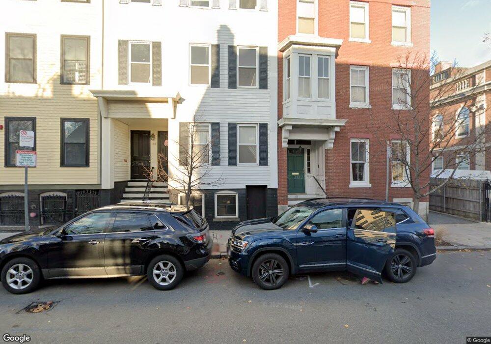
83 1/2 High St Charlestown, MA 02129
Thompson Square-Bunker Hill NeighborhoodEstimated Value: $1,572,000 - $1,725,000
6
Beds
3
Baths
3,525
Sq Ft
$469/Sq Ft
Est. Value
About This Home
This home is located at 83 1/2 High St, Charlestown, MA 02129 and is currently estimated at $1,654,333, approximately $469 per square foot. 83 1/2 High St is a home located in Suffolk County with nearby schools including Community Charter School of Cambridge and Torit Montessori School.
Ownership History
Date
Name
Owned For
Owner Type
Purchase Details
Closed on
Jun 15, 1995
Sold by
Simpson Eugene F
Bought by
Galton Kenneth A and Galton Hope A
Current Estimated Value
Create a Home Valuation Report for This Property
The Home Valuation Report is an in-depth analysis detailing your home's value as well as a comparison with similar homes in the area
Home Values in the Area
Average Home Value in this Area
Purchase History
| Date | Buyer | Sale Price | Title Company |
|---|---|---|---|
| Galton Kenneth A | $190,000 | -- |
Source: Public Records
Mortgage History
| Date | Status | Borrower | Loan Amount |
|---|---|---|---|
| Open | Galton Kenneth A | $519,000 | |
| Closed | Galton Kenneth A | $500,000 | |
| Closed | Galton Kenneth A | $465,000 | |
| Closed | Galton Kenneth A | $465,000 |
Source: Public Records
Tax History Compared to Growth
Tax History
| Year | Tax Paid | Tax Assessment Tax Assessment Total Assessment is a certain percentage of the fair market value that is determined by local assessors to be the total taxable value of land and additions on the property. | Land | Improvement |
|---|---|---|---|---|
| 2025 | $17,259 | $1,490,400 | $371,700 | $1,118,700 |
| 2024 | $15,650 | $1,435,800 | $388,900 | $1,046,900 |
| 2023 | $14,021 | $1,305,500 | $353,600 | $951,900 |
| 2022 | $13,522 | $1,242,800 | $336,600 | $906,200 |
| 2021 | $12,874 | $1,206,600 | $326,800 | $879,800 |
| 2020 | $11,062 | $1,047,500 | $346,400 | $701,100 |
| 2019 | $10,034 | $952,000 | $254,700 | $697,300 |
| 2018 | $9,323 | $889,600 | $254,700 | $634,900 |
| 2017 | $8,972 | $847,200 | $254,700 | $592,500 |
| 2016 | $8,472 | $770,200 | $254,700 | $515,500 |
| 2015 | $7,565 | $624,700 | $222,900 | $401,800 |
| 2014 | $7,002 | $556,600 | $222,900 | $333,700 |
Source: Public Records
Map
Nearby Homes
- 56 High St Unit 3
- 46 High St
- 9 Russell St Unit 2
- 9 Russell St Unit 1
- 15 Russell St
- 207 Bunker Hill St Unit 2
- 247 Bunker Hill St Unit A
- 172 Bunker Hill St Unit 1
- 255 Bunker Hill St Unit 2
- 270 Bunker Hill St Unit 4
- 29 Eden St Unit 3
- 64 Walker St Unit 66
- 18R Polk St
- 1 Washington Place
- 5 Wallace Ct
- 254-256 Medford St Unit 2
- 40 Mead St Unit 3
- 106 Bunker Hill St Unit 2
- 106 Bunker Hill St Unit 6
- 106 Bunker Hill St Unit 1
- 81 High St Unit 2
- 81 High St Unit 1
- 85 1/2 High St
- 85 High St Unit 3
- 85 High St Unit 2
- 83 High St Unit 3
- 85 High St Unit 1
- 83 High St Unit 2
- 83 High St Unit 1
- 83 High St
- 87 High St Unit 3
- 87 High St Unit 2
- 87 High St Unit 1
- 31 School St
- 87 High St Unit 3
- 87 High St Unit 2
- 87 High St Unit 1
- 33 School St
- 10 Summer St Unit 2
- 10 Summer St Unit 1