83-5367 Mamalahoa Hwy Captain Cook, HI 96704
Estimated Value: $807,000 - $1,785,000
8
Beds
7
Baths
3,172
Sq Ft
$404/Sq Ft
Est. Value
About This Home
This home is located at 83-5367 Mamalahoa Hwy, Captain Cook, HI 96704 and is currently estimated at $1,281,594, approximately $404 per square foot. 83-5367 Mamalahoa Hwy is a home located in Hawaii County with nearby schools including Honaunau Elementary School, Konawaena Middle School, and Konawaena High School.
Ownership History
Date
Name
Owned For
Owner Type
Purchase Details
Closed on
Feb 27, 2025
Sold by
Revocable Trust Agreement Of Claire K Ha and Hayama Claire K
Bought by
Revocable Trust Agreement Of Claire K Hayama and Hayama
Current Estimated Value
Purchase Details
Closed on
Apr 18, 2024
Sold by
Hayama Claire K and Shikimi Hayama
Bought by
Revocable Trust Agreement Of Claire K Hayama and Hayama
Create a Home Valuation Report for This Property
The Home Valuation Report is an in-depth analysis detailing your home's value as well as a comparison with similar homes in the area
Home Values in the Area
Average Home Value in this Area
Purchase History
| Date | Buyer | Sale Price | Title Company |
|---|---|---|---|
| Revocable Trust Agreement Of Claire K Hayama | -- | None Listed On Document | |
| Revocable Trust Agreement Of Claire K Hayama | -- | None Listed On Document |
Source: Public Records
Tax History Compared to Growth
Tax History
| Year | Tax Paid | Tax Assessment Tax Assessment Total Assessment is a certain percentage of the fair market value that is determined by local assessors to be the total taxable value of land and additions on the property. | Land | Improvement |
|---|---|---|---|---|
| 2025 | $3,278 | $891,900 | $142,100 | $749,800 |
| 2024 | $3,278 | $865,900 | $142,100 | $723,800 |
| 2023 | $3,325 | $840,700 | $142,100 | $698,600 |
| 2022 | $3,421 | $816,200 | $142,100 | $674,100 |
| 2021 | $3,274 | $792,400 | $142,100 | $650,300 |
| 2020 | $3,132 | $769,300 | $142,100 | $627,200 |
| 2019 | $2,994 | $746,900 | $142,100 | $604,800 |
| 2018 | $2,860 | $725,100 | $142,100 | $583,000 |
| 2017 | $2,731 | $704,000 | $142,100 | $561,900 |
| 2016 | $2,851 | $683,500 | $142,100 | $541,400 |
| 2015 | -- | $663,600 | $142,100 | $521,500 |
| 2014 | -- | $644,300 | $142,100 | $502,200 |
Source: Public Records
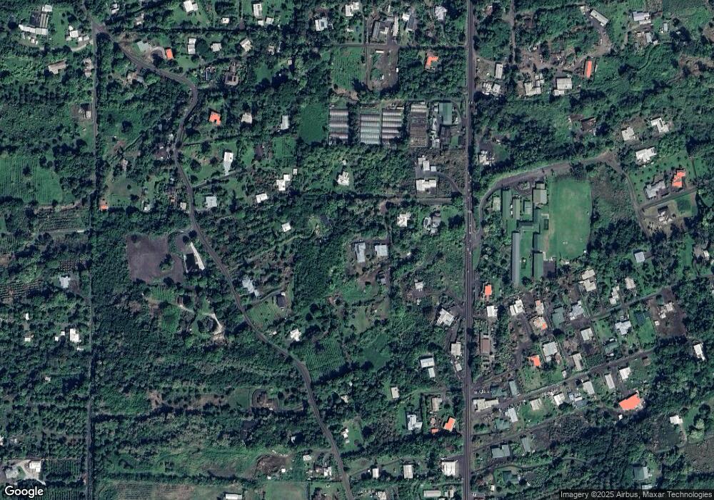
Map
Nearby Homes
- 83-5362-A Painted Church Rd
- 83-5599-C Middle Keei Rd
- 0 Rock Bottom Rd
- 84-1164 Bruner Rd
- 0 Bruner Rd
- 83-5611 Middle Keei Rd
- 84-5085 Painted Church Rd
- 84-5018-P Hawaii Belt Rd
- 83-1008 Kahula Place
- 84-539 Telephone Exchange Rd
- 83-5673 Kanele St
- 83-5782 Napoopoo Rd
- 82-1097 Meli Rd
- 82-1171 Meli Rd
- 82-5900 Old Government Main Rd
- 82-5957 Wakida Dr
- 82-6274 Kahauloa Rd
- 82-6301 Puuhonua Rd
- 82-6011 Lower Napo'Opo'o Rd
- 82-6065 Mamalahoa Hwy Unit A101
- 83-5368 Middle Keei Rd
- 83-5365 Mamalahoa Hwy
- 83-5349 Mamalahoa Hwy
- 83-5349 Hawaii Belt Rd
- 83-5376 Middle Keei Rd
- 83-5363 Mamalahoa Hwy
- 83-5371 Mamalahoa Hwy
- 83-5352 Middle Keei Rd
- 83-5345 Mamalahoa Hwy
- 83-5373 Mamalahoa Hwy
- 83 Middle Keei Rd
- 83-5360 Middle Keei Rd
- 83-5388 Middle Keei Rd
- 83-5364 Middle Keei Rd
- 83-5339 Mamalahoa Hwy
- 83-5352 Mamalahoa Hwy
- 83-5329 Mamalahoa Hwy
- 83-5383 Mamalahoa Hwy
- 83-5390 Middle Keei Rd
- 83-5338 Middle Keei Rd