83-5448 Mamalahoa Hwy Captain Cook, HI 96704
Estimated Value: $796,000
4
Beds
2
Baths
792
Sq Ft
$1,005/Sq Ft
Est. Value
About This Home
This home is located at 83-5448 Mamalahoa Hwy, Captain Cook, HI 96704 and is currently estimated at $796,000, approximately $1,005 per square foot. 83-5448 Mamalahoa Hwy is a home located in Hawaii County with nearby schools including Honaunau Elementary School, Konawaena Middle School, and Konawaena High School.
Ownership History
Date
Name
Owned For
Owner Type
Purchase Details
Closed on
Dec 22, 2011
Sold by
Sasaki Larry M and Sasaki Calvin Toshio
Bought by
Sasaki Glenn M and Revocable Trust Of Glenn M Sasaki
Current Estimated Value
Purchase Details
Closed on
Mar 6, 2008
Sold by
Sasaki Glenn Masato and Sasaki Glenn M
Bought by
Sasaki Glenn M and Revocable Trust Of Glenn M Sasaki
Purchase Details
Closed on
Jun 8, 2006
Sold by
Sasaki Glenn Masato and Sasaki Gail H
Bought by
Sasaki Glenn Masato
Home Financials for this Owner
Home Financials are based on the most recent Mortgage that was taken out on this home.
Original Mortgage
$392,000
Outstanding Balance
$230,206
Interest Rate
6.55%
Mortgage Type
Fannie Mae Freddie Mac
Estimated Equity
$565,794
Create a Home Valuation Report for This Property
The Home Valuation Report is an in-depth analysis detailing your home's value as well as a comparison with similar homes in the area
Home Values in the Area
Average Home Value in this Area
Purchase History
| Date | Buyer | Sale Price | Title Company |
|---|---|---|---|
| Sasaki Glenn M | -- | None Available | |
| Sasaki Larry M | -- | None Available | |
| Sasaki Glenn M | -- | None Available | |
| Sasaki Glenn Masato | $666 | Fntic |
Source: Public Records
Mortgage History
| Date | Status | Borrower | Loan Amount |
|---|---|---|---|
| Open | Sasaki Glenn Masato | $392,000 |
Source: Public Records
Tax History Compared to Growth
Tax History
| Year | Tax Paid | Tax Assessment Tax Assessment Total Assessment is a certain percentage of the fair market value that is determined by local assessors to be the total taxable value of land and additions on the property. | Land | Improvement |
|---|---|---|---|---|
| 2025 | $2,216 | $236,800 | $17,300 | $219,500 |
| 2024 | $2,216 | $237,000 | $19,100 | $217,900 |
| 2023 | $2,045 | $218,700 | $16,000 | $202,700 |
| 2022 | $2,039 | $218,100 | $15,400 | $202,700 |
| 2021 | $1,872 | $200,200 | $13,700 | $186,500 |
| 2020 | $1,805 | $193,100 | $13,700 | $179,400 |
| 2019 | $1,785 | $190,900 | $15,500 | $175,400 |
| 2018 | $1,616 | $172,800 | $15,500 | $157,300 |
| 2017 | $1,564 | $167,300 | $15,500 | $151,800 |
| 2016 | $1,407 | $152,100 | $15,400 | $136,700 |
| 2015 | -- | $139,100 | $15,400 | $123,700 |
| 2014 | -- | $139,400 | $15,400 | $124,000 |
Source: Public Records
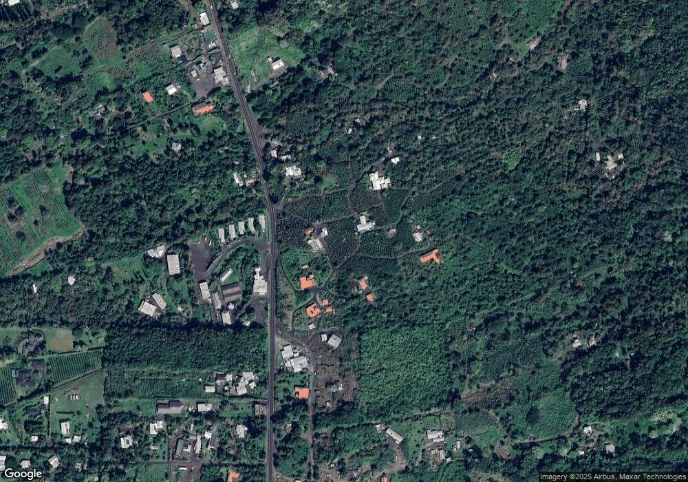
Map
Nearby Homes
- 83-5362-A Painted Church Rd
- 0 Rock Bottom Rd
- 83-5599-C Middle Keei Rd
- 83-5611 Middle Keei Rd
- 84-1164 Bruner Rd
- 0 Bruner Rd
- 83-1008 Kahula Place
- 83-5782 Napoopoo Rd
- 83-5673 Kanele St
- 84-5018-P Hawaii Belt Rd
- 84-5085 Painted Church Rd
- 82-1097 Meli Rd
- 82-1171 Meli Rd
- 84-539 Telephone Exchange Rd
- 82-5900 Old Government Main Rd
- 82-5957 Wakida Dr
- 82-6065 Mamalahoa Hwy Unit A101
- 82-1019 Koa Rd
- 82-6073-A Hawaii Belt Rd Unit 11B
- 82-6077 Mamalahoa Hwy Unit 4
- 83-5452 Mamalahoa Hwy
- 83-5450 Mamalahoa Hwy
- 83-5446 Mamalahoa Hwy
- 83-5446 Mamalahoa Hwy
- 83-5444 Mamalahoa Hwy
- 83-5434 Old Government Rd
- 83-5428 Old Government Rd
- 83-5457 Mamalahoa Hwy
- 83-5420 Old Government Rd
- 83-5424 Mamalahoa Hwy
- 83-5474 Mamalahoa Hwy
- 83-5419 Mamalahoa Hwy
- 83-5425 Mamalahoa Hwy
- 83-5475 Mamalahoa Hwy
- 83-5408 Mamalahoa Hwy
- 83-5467 Mamalahoa Hwy
- 83-5483 Mamalahoa Hwy
- 83-5413 Mamalahoa Hwy
- 83-5465 Mamalahoa Hwy
- 83-5467 Hawaii Belt Rd