83-5475 Mamalahoa Hwy Captain Cook, HI 96704
Estimated Value: $1,640,784 - $1,699,000
6
Beds
6
Baths
4,428
Sq Ft
$377/Sq Ft
Est. Value
About This Home
This home is located at 83-5475 Mamalahoa Hwy, Captain Cook, HI 96704 and is currently estimated at $1,669,892, approximately $377 per square foot. 83-5475 Mamalahoa Hwy is a home located in Hawaii County with nearby schools including Honaunau Elementary School, Konawaena Middle School, and Konawaena High School.
Ownership History
Date
Name
Owned For
Owner Type
Purchase Details
Closed on
May 5, 2005
Sold by
Choy Richard O J and Choy Barbara Ann
Bought by
Faltas Shaheer Nabil and Brosnan Faltas Maria Elizabeth
Current Estimated Value
Home Financials for this Owner
Home Financials are based on the most recent Mortgage that was taken out on this home.
Original Mortgage
$719,200
Outstanding Balance
$381,717
Interest Rate
6.12%
Mortgage Type
New Conventional
Estimated Equity
$1,288,175
Purchase Details
Closed on
Mar 6, 1998
Sold by
Choy Richard O J and Choy Barbara Ann
Bought by
Choy Richard O J and Choy Barbara Ann
Home Financials for this Owner
Home Financials are based on the most recent Mortgage that was taken out on this home.
Original Mortgage
$247,500
Interest Rate
7.11%
Create a Home Valuation Report for This Property
The Home Valuation Report is an in-depth analysis detailing your home's value as well as a comparison with similar homes in the area
Home Values in the Area
Average Home Value in this Area
Purchase History
| Date | Buyer | Sale Price | Title Company |
|---|---|---|---|
| Faltas Shaheer Nabil | $899,000 | First American Title Company | |
| Choy Richard O J | -- | -- |
Source: Public Records
Mortgage History
| Date | Status | Borrower | Loan Amount |
|---|---|---|---|
| Open | Faltas Shaheer Nabil | $719,200 | |
| Previous Owner | Choy Richard O J | $247,500 |
Source: Public Records
Tax History Compared to Growth
Tax History
| Year | Tax Paid | Tax Assessment Tax Assessment Total Assessment is a certain percentage of the fair market value that is determined by local assessors to be the total taxable value of land and additions on the property. | Land | Improvement |
|---|---|---|---|---|
| 2025 | $7,559 | $1,006,500 | $1,800 | $1,004,700 |
| 2024 | $7,559 | $958,400 | $1,800 | $956,600 |
| 2023 | $5,639 | $753,100 | $1,800 | $751,300 |
| 2022 | $5,919 | $753,100 | $1,800 | $751,300 |
| 2021 | $4,763 | $629,400 | $1,800 | $627,600 |
| 2020 | $4,235 | $572,900 | $1,800 | $571,100 |
| 2019 | $4,477 | $598,800 | $1,800 | $597,000 |
| 2018 | $3,988 | $546,500 | $1,800 | $544,700 |
| 2017 | $3,861 | $532,900 | $1,800 | $531,100 |
| 2016 | $3,760 | $526,500 | $1,800 | $524,700 |
| 2015 | -- | $434,800 | $1,800 | $433,000 |
| 2014 | -- | $438,600 | $1,800 | $436,800 |
Source: Public Records
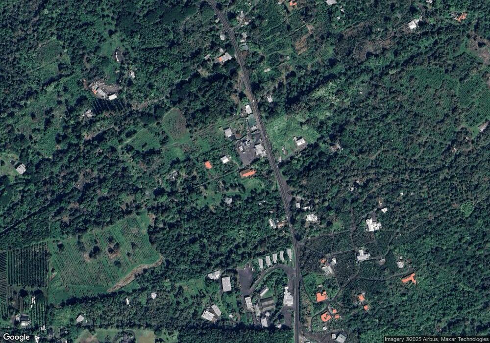
Map
Nearby Homes
- 0 Rock Bottom Rd
- 83-5362-A Painted Church Rd
- 83-5599-C Middle Keei Rd
- 83-5611 Middle Keei Rd
- 83-1008 Kahula Place
- 83-5782 Napoopoo Rd
- 83-5673 Kanele St
- 84-1164 Bruner Rd
- 0 Bruner Rd
- 84-5085 Painted Church Rd
- 82-1097 Meli Rd
- 82-1171 Meli Rd
- 84-5018-P Hawaii Belt Rd
- 82-5900 Old Government Main Rd
- 82-5957 Wakida Dr
- 84-539 Telephone Exchange Rd
- 82-6065 Mamalahoa Hwy Unit A101
- 82-1019 Koa Rd
- 82-6073-A Hawaii Belt Rd Unit 11B
- 82-6077 Mamalahoa Hwy Unit 4
- 83-5477 Mamalahoa Hwy
- 83-5483 Mamalahoa Hwy
- 83-5467 Hawaii Belt Rd
- 83-5467 Mamalahoa Hwy
- 83-5489 Mamalahoa Hwy
- 83-5465 Mamalahoa Hwy
- 83-5457 Mamalahoa Hwy
- 83-5491 Mamalahoa Hwy
- 83-5479 Mamalahoa Hwy
- 83-5494 Mamalahoa Hwy
- 83-5474 Mamalahoa Hwy
- 83-5450 Mamalahoa Hwy
- 83-5425 Mamalahoa Hwy
- 83-5511 Mamalahoa Hwy
- 83-5502 Mamalahoa Hwy
- 83-5452 Mamalahoa Hwy
- 83-5448 Mamalahoa Hwy
- 83-5444 Mamalahoa Hwy
- 83-5524 Mamalahoa Hwy
- 83-5434 Old Government Rd