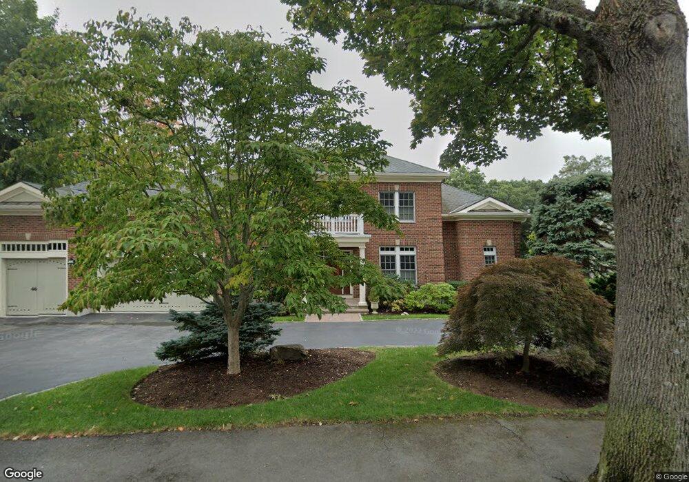
83 Aspen Ave Auburndale, MA 02466
Auburndale NeighborhoodEstimated Value: $2,602,000 - $3,371,000
5
Beds
6
Baths
4,135
Sq Ft
$729/Sq Ft
Est. Value
About This Home
This home is located at 83 Aspen Ave, Auburndale, MA 02466 and is currently estimated at $3,014,267, approximately $728 per square foot. 83 Aspen Ave is a home located in Middlesex County with nearby schools including Williams Elementary School, Charles E Brown Middle School, and Newton South High School.
Ownership History
Date
Name
Owned For
Owner Type
Purchase Details
Closed on
Jun 30, 2016
Sold by
Sewall Richard D and Sewall Darlene A
Bought by
Skynest T
Current Estimated Value
Purchase Details
Closed on
Nov 18, 2009
Sold by
Soundings Llp
Bought by
Sewall Richard D and Sewall Darlene A
Purchase Details
Closed on
Jun 15, 2007
Sold by
Vassalotti Louis J
Bought by
Mary V Soundings Llp
Create a Home Valuation Report for This Property
The Home Valuation Report is an in-depth analysis detailing your home's value as well as a comparison with similar homes in the area
Home Values in the Area
Average Home Value in this Area
Purchase History
| Date | Buyer | Sale Price | Title Company |
|---|---|---|---|
| Skynest T | $3,400,000 | -- | |
| Sewall Richard D | -- | -- | |
| Mary V Soundings Llp | $880,000 | -- |
Source: Public Records
Tax History Compared to Growth
Tax History
| Year | Tax Paid | Tax Assessment Tax Assessment Total Assessment is a certain percentage of the fair market value that is determined by local assessors to be the total taxable value of land and additions on the property. | Land | Improvement |
|---|---|---|---|---|
| 2025 | $29,501 | $3,010,300 | $1,343,700 | $1,666,600 |
| 2024 | $28,525 | $2,922,600 | $1,304,600 | $1,618,000 |
| 2023 | $27,526 | $2,703,900 | $1,025,800 | $1,678,100 |
| 2022 | $26,338 | $2,503,600 | $949,800 | $1,553,800 |
| 2021 | $25,414 | $2,361,900 | $896,000 | $1,465,900 |
| 2020 | $24,658 | $2,361,900 | $896,000 | $1,465,900 |
| 2019 | $23,963 | $2,293,100 | $869,900 | $1,423,200 |
| 2018 | $23,511 | $2,172,900 | $782,800 | $1,390,100 |
| 2017 | $22,795 | $2,049,900 | $738,500 | $1,311,400 |
| 2016 | $21,802 | $1,915,800 | $690,200 | $1,225,600 |
| 2015 | $20,788 | $1,790,500 | $645,000 | $1,145,500 |
Source: Public Records
Map
Nearby Homes
- 97 Hawthorne Ave
- 39 Hawthorne Ave
- 163 Day St
- 283 Woodland Rd
- 1754 Washington St
- 22 Bonmar Cir
- 153 Hancock St
- 17 Lasell St
- 27 Oakwood Rd
- 194 Auburn St
- 224 Auburn St Unit 224
- 1639 Washington St
- 226 Auburn St Unit 226
- 179 Auburn St
- 7 Arapahoe Rd
- 27 Chesterfield Rd
- 17 Gilbert St
- 13 Weir St
- 51 Bourne St
- 25 Johnson Place