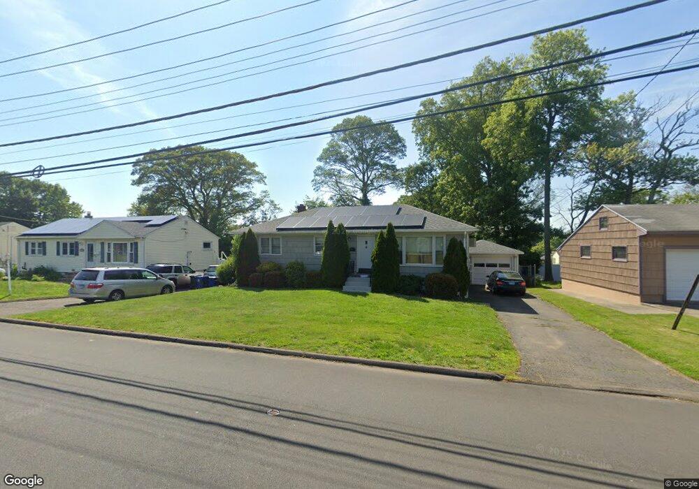
83 Benham Hill Rd West Haven, CT 06516
West Shore NeighborhoodEstimated Value: $362,000 - $429,000
3
Beds
6
Baths
1,056
Sq Ft
$364/Sq Ft
Est. Value
About This Home
This home is located at 83 Benham Hill Rd, West Haven, CT 06516 and is currently estimated at $384,536, approximately $364 per square foot. 83 Benham Hill Rd is a home located in New Haven County with nearby schools including Carrigan 5/6 Intermediate School, Harry M. Bailey Middle School, and West Haven High School.
Ownership History
Date
Name
Owned For
Owner Type
Purchase Details
Closed on
Sep 16, 2019
Sold by
Tullo Richard A
Bought by
Tullo Richard A and Tullo Dawn
Current Estimated Value
Home Financials for this Owner
Home Financials are based on the most recent Mortgage that was taken out on this home.
Original Mortgage
$152,000
Outstanding Balance
$132,556
Interest Rate
3.6%
Mortgage Type
New Conventional
Estimated Equity
$251,980
Purchase Details
Closed on
Dec 21, 2009
Sold by
Bonds Samuel
Bought by
Gilson Robert
Home Financials for this Owner
Home Financials are based on the most recent Mortgage that was taken out on this home.
Original Mortgage
$155,000
Interest Rate
5%
Mortgage Type
Purchase Money Mortgage
Create a Home Valuation Report for This Property
The Home Valuation Report is an in-depth analysis detailing your home's value as well as a comparison with similar homes in the area
Home Values in the Area
Average Home Value in this Area
Purchase History
| Date | Buyer | Sale Price | Title Company |
|---|---|---|---|
| Tullo Richard A | -- | -- | |
| Tullo Richard A | -- | -- | |
| Gilson Robert | $194,000 | -- | |
| Gilson Robert | $194,000 | -- |
Source: Public Records
Mortgage History
| Date | Status | Borrower | Loan Amount |
|---|---|---|---|
| Open | Tullo Richard A | $152,000 | |
| Closed | Tullo Richard A | $152,000 | |
| Previous Owner | Gilson Robert | $155,000 |
Source: Public Records
Tax History Compared to Growth
Tax History
| Year | Tax Paid | Tax Assessment Tax Assessment Total Assessment is a certain percentage of the fair market value that is determined by local assessors to be the total taxable value of land and additions on the property. | Land | Improvement |
|---|---|---|---|---|
| 2025 | $7,018 | $213,500 | $89,600 | $123,900 |
| 2024 | $6,514 | $139,020 | $62,090 | $76,930 |
| 2023 | $6,270 | $139,020 | $62,090 | $76,930 |
| 2022 | $6,157 | $139,020 | $62,090 | $76,930 |
| 2021 | $6,157 | $139,020 | $62,090 | $76,930 |
| 2020 | $6,196 | $127,470 | $57,470 | $70,000 |
| 2019 | $5,999 | $127,470 | $57,470 | $70,000 |
| 2018 | $5,913 | $127,470 | $57,470 | $70,000 |
| 2017 | $5,754 | $127,470 | $57,470 | $70,000 |
| 2016 | $5,690 | $127,470 | $57,470 | $70,000 |
| 2015 | $5,513 | $138,250 | $61,320 | $76,930 |
| 2014 | $5,513 | $138,250 | $61,320 | $76,930 |
Source: Public Records
Map
Nearby Homes
- 77 Benham Hill Rd
- 89 Benham Hill Rd
- 12 Peter Ln
- 71 Benham Hill Rd
- 18 Peter Ln
- 46 Daniel Rd
- 42 Daniel Rd
- 22 Peter Ln
- 65 Benham Hill Rd
- 96 Benham Hill Rd
- 52 Daniel Rd
- 97 Benham Hill Rd
- 5 Gertrude Ln
- 36 Daniel Rd
- 26 Peter Ln
- 61 Benham Hill Rd
- 104 Benham Hill Rd
- 101 Benham Hill Rd
- 85 Hubbard Rd
- 25 Peter Ln