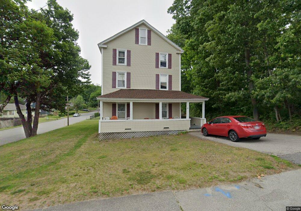
83 Brookline St Worcester, MA 01603
Webster Square NeighborhoodEstimated Value: $498,721 - $772,000
6
Beds
3
Baths
3,263
Sq Ft
$208/Sq Ft
Est. Value
About This Home
This home is located at 83 Brookline St, Worcester, MA 01603 and is currently estimated at $679,930, approximately $208 per square foot. 83 Brookline St is a home located in Worcester County with nearby schools including Gates Lane, Jacob Hiatt Magnet School, and Chandler Magnet.
Ownership History
Date
Name
Owned For
Owner Type
Purchase Details
Closed on
Jun 29, 2005
Sold by
Walker Robert C
Bought by
Zarozny Wayne H
Current Estimated Value
Home Financials for this Owner
Home Financials are based on the most recent Mortgage that was taken out on this home.
Original Mortgage
$203,250
Outstanding Balance
$106,578
Interest Rate
5.73%
Mortgage Type
Purchase Money Mortgage
Estimated Equity
$573,352
Purchase Details
Closed on
Aug 28, 2001
Sold by
Harland Christine E and Blood Christine E
Bought by
Chapel Richard J
Home Financials for this Owner
Home Financials are based on the most recent Mortgage that was taken out on this home.
Original Mortgage
$123,200
Interest Rate
7.21%
Mortgage Type
Purchase Money Mortgage
Create a Home Valuation Report for This Property
The Home Valuation Report is an in-depth analysis detailing your home's value as well as a comparison with similar homes in the area
Home Values in the Area
Average Home Value in this Area
Purchase History
| Date | Buyer | Sale Price | Title Company |
|---|---|---|---|
| Zarozny Wayne H | $271,000 | -- | |
| Chapel Richard J | $154,000 | -- |
Source: Public Records
Mortgage History
| Date | Status | Borrower | Loan Amount |
|---|---|---|---|
| Open | Zarozny Wayne H | $203,250 | |
| Previous Owner | Chapel Richard J | $85,371 | |
| Previous Owner | Chapel Richard J | $123,200 | |
| Previous Owner | Chapel Richard J | $50,200 |
Source: Public Records
Tax History Compared to Growth
Tax History
| Year | Tax Paid | Tax Assessment Tax Assessment Total Assessment is a certain percentage of the fair market value that is determined by local assessors to be the total taxable value of land and additions on the property. | Land | Improvement |
|---|---|---|---|---|
| 2025 | $8,876 | $672,900 | $98,700 | $574,200 |
| 2024 | $8,184 | $595,200 | $98,700 | $496,500 |
| 2023 | $7,841 | $546,800 | $85,800 | $461,000 |
| 2022 | $6,825 | $448,700 | $68,600 | $380,100 |
| 2021 | $5,999 | $368,500 | $54,900 | $313,600 |
| 2020 | $5,549 | $326,400 | $54,500 | $271,900 |
| 2019 | $4,759 | $264,400 | $47,700 | $216,700 |
| 2018 | $4,659 | $246,400 | $47,700 | $198,700 |
| 2017 | $4,378 | $227,800 | $47,700 | $180,100 |
| 2016 | $4,157 | $201,700 | $34,300 | $167,400 |
| 2015 | $4,048 | $201,700 | $34,300 | $167,400 |
| 2014 | $3,941 | $201,700 | $34,300 | $167,400 |
Source: Public Records
Map
Nearby Homes
- 0000 Brookline St
- 10 Seminole Dr
- Lot2 Wyola St
- 9 Tallawanda Dr
- 85 Brookline St
- 23 Brookline St
- 3 Tallawanda Dr
- 2 Wyola Dr
- 9 Seminole Dr
- 16 Seminole Dr
- Lot 1 Wyola Dr - Avery Estates
- Lot 2 Wyola Dr - Avery Estates
- 1 Wyola Dr
- 11 Tallawanda Dr
- 11 Seminole Dr
- 1 Tallawanda Dr
- 2 Tallawanda Dr
- 87 Brookline St
- 20 Seminole Dr
- 25 Gates Ln