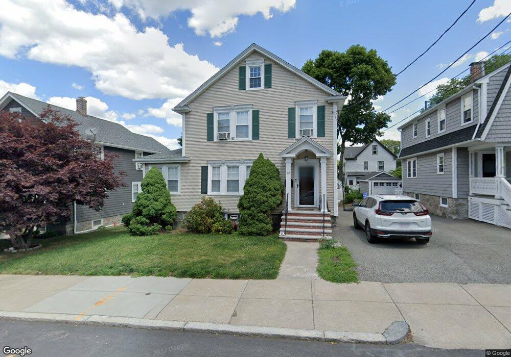
83 Garnet Rd West Roxbury, MA 02132
West Roxbury NeighborhoodEstimated Value: $827,372 - $1,030,000
3
Beds
2
Baths
1,544
Sq Ft
$593/Sq Ft
Est. Value
About This Home
This home is located at 83 Garnet Rd, West Roxbury, MA 02132 and is currently estimated at $915,843, approximately $593 per square foot. 83 Garnet Rd is a home located in Suffolk County with nearby schools including Holy Name Parish School, St Theresa School, and The Roxbury Latin School.
Ownership History
Date
Name
Owned For
Owner Type
Purchase Details
Closed on
Mar 23, 2023
Sold by
Courtney Gail and Courtney Brian K
Bought by
Courtney Ft
Current Estimated Value
Purchase Details
Closed on
Jul 1, 1992
Sold by
Spellman Francis J and Spellman Mary E
Bought by
Courtney Brian K and Courtney Gail
Create a Home Valuation Report for This Property
The Home Valuation Report is an in-depth analysis detailing your home's value as well as a comparison with similar homes in the area
Home Values in the Area
Average Home Value in this Area
Purchase History
| Date | Buyer | Sale Price | Title Company |
|---|---|---|---|
| Courtney Ft | -- | None Available | |
| Courtney Brian K | $135,500 | -- |
Source: Public Records
Mortgage History
| Date | Status | Borrower | Loan Amount |
|---|---|---|---|
| Previous Owner | Courtney Brian K | $310,000 | |
| Previous Owner | Courtney Brian K | $75,000 |
Source: Public Records
Tax History Compared to Growth
Tax History
| Year | Tax Paid | Tax Assessment Tax Assessment Total Assessment is a certain percentage of the fair market value that is determined by local assessors to be the total taxable value of land and additions on the property. | Land | Improvement |
|---|---|---|---|---|
| 2025 | $8,197 | $707,900 | $226,000 | $481,900 |
| 2024 | $7,122 | $653,400 | $233,700 | $419,700 |
| 2023 | $6,618 | $616,200 | $220,400 | $395,800 |
| 2022 | $6,095 | $560,200 | $200,400 | $359,800 |
| 2021 | $5,573 | $522,300 | $192,700 | $329,600 |
| 2020 | $5,400 | $511,400 | $173,100 | $338,300 |
| 2019 | $5,034 | $477,600 | $154,100 | $323,500 |
| 2018 | $4,815 | $459,400 | $154,100 | $305,300 |
| 2017 | $4,815 | $454,700 | $154,100 | $300,600 |
| 2016 | $4,674 | $424,900 | $154,100 | $270,800 |
| 2015 | $4,794 | $395,900 | $167,200 | $228,700 |
| 2014 | $4,699 | $373,500 | $167,200 | $206,300 |
Source: Public Records
Map
Nearby Homes
- 168 Maple St
- 701 Vfw Pkwy
- 19 Pomfret St
- 37 Pomfret St
- 10 Burwell Rd
- 55 Redlands Rd
- 76 Vermont St
- 173 South St
- 1789 Centre St Unit 202
- 72 Wallis Rd
- 37 Hastings St Unit 103
- 143 South St
- 170 Payson Rd
- 50-56 Broadlawn Park Unit 221
- 23 Westgate Rd Unit 6
- 21 Westgate Rd Unit 6
- 42 Bryon Rd Unit 6
- 865 Lagrange St Unit 5
- 110 Park St Unit 3
- 139 Newfield St