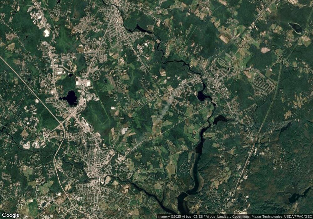
83 General John Sullivan Way Rollinsford, NH 03869
Estimated Value: $406,000 - $455,000
2
Beds
1
Bath
1,364
Sq Ft
$318/Sq Ft
Est. Value
About This Home
This home is located at 83 General John Sullivan Way, Rollinsford, NH 03869 and is currently estimated at $433,071, approximately $317 per square foot. 83 General John Sullivan Way is a home located in Strafford County with nearby schools including Rollinsford Grade School, Berwick Academy, and Seacoast Christian School.
Create a Home Valuation Report for This Property
The Home Valuation Report is an in-depth analysis detailing your home's value as well as a comparison with similar homes in the area
Home Values in the Area
Average Home Value in this Area
Tax History Compared to Growth
Tax History
| Year | Tax Paid | Tax Assessment Tax Assessment Total Assessment is a certain percentage of the fair market value that is determined by local assessors to be the total taxable value of land and additions on the property. | Land | Improvement |
|---|---|---|---|---|
| 2024 | $5,985 | $364,700 | $182,600 | $182,100 |
| 2023 | $5,609 | $364,700 | $182,600 | $182,100 |
| 2022 | $5,423 | $364,700 | $182,600 | $182,100 |
| 2021 | $5,715 | $234,400 | $108,400 | $126,000 |
| 2020 | $5,785 | $234,400 | $108,400 | $126,000 |
| 2019 | $5,300 | $234,400 | $108,400 | $126,000 |
| 2018 | $5,658 | $234,400 | $108,400 | $126,000 |
| 2016 | $5,554 | $198,500 | $67,700 | $130,800 |
| 2015 | $5,445 | $198,500 | $67,700 | $130,800 |
| 2014 | $5,260 | $198,500 | $67,700 | $130,800 |
| 2013 | $5,336 | $198,500 | $67,700 | $130,800 |
Source: Public Records
Map
Nearby Homes
- 442 Prospect St
- 26 Stevens Ct
- 37 Nealley St
- 72 Vine St
- 24 Spillanes Hill
- 72 Moses Carr Rd
- 289 Main St
- 10 Portland St
- 23 Paul St
- 10 Hill Dr
- 11 Country Club Estates Dr Unit 11
- 24 Farmgate Rd
- Lot 6 Emerson Ridge Unit 6
- 95 Oldfields Rd
- 22 High Knoll Dr
- Lot 8 Emerson Ridge Unit 8
- 400 Gulf Rd
- 13 Beaver Dam Rd
- 4 Winterberry Dr
- 3 Bennett St
- 89 General John Sullivan Way
- 93 General John Sullivan Way
- 84 General John Sullivan Way
- 80 General John Sullivan Way
- 90 General John Sullivan Way
- 95 General John Sullivan Way
- 96 General John Sullivan Way
- 76 General John Sullivan Way
- 28 Silver Ln
- 72 General John Sullivan Way
- 72 Gen Sullivan Way
- 24 Silver Ln
- 100 General John Sullivan Way
- 20 Silver Ln
- 1 Cottage Ln
- 14 Silver Ln
- 414 Atlantic Rd
- 29 Silver Ln
- 25 Silver Ln
- 491 Silver St
