Estimated Value: $1,779,000 - $2,055,000
5
Beds
4
Baths
2,844
Sq Ft
$669/Sq Ft
Est. Value
About This Home
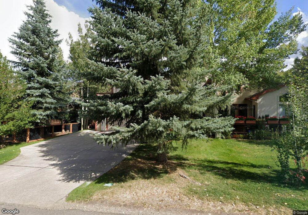
This home is located at 83 Gopher Rd, Avon, CO 81620 and is currently estimated at $1,903,533, approximately $669 per square foot. 83 Gopher Rd is a home with nearby schools including Homestake Peak School and Battle Mountain High School.
Ownership History
Date
Name
Owned For
Owner Type
Purchase Details
Closed on
Feb 13, 2002
Sold by
Thul Mary Christina
Bought by
Thul Fred Michael and Thul Mary Christina
Current Estimated Value
Home Financials for this Owner
Home Financials are based on the most recent Mortgage that was taken out on this home.
Original Mortgage
$233,000
Interest Rate
7.05%
Mortgage Type
Purchase Money Mortgage
Purchase Details
Closed on
Aug 25, 1999
Sold by
Thul Fred Michael
Bought by
Thul Mary Christina
Purchase Details
Closed on
Oct 31, 1996
Sold by
Dln Ltd Partnership
Bought by
Thul Mary Christina and Thul Fred Michael
Home Financials for this Owner
Home Financials are based on the most recent Mortgage that was taken out on this home.
Original Mortgage
$250,000
Interest Rate
6.87%
Mortgage Type
Purchase Money Mortgage
Create a Home Valuation Report for This Property
The Home Valuation Report is an in-depth analysis detailing your home's value as well as a comparison with similar homes in the area
Home Values in the Area
Average Home Value in this Area
Purchase History
| Date | Buyer | Sale Price | Title Company |
|---|---|---|---|
| Thul Fred Michael | -- | Stewart Title | |
| Thul Mary Christina | -- | -- | |
| Thul Mary Christina | $377,027 | Land Title |
Source: Public Records
Mortgage History
| Date | Status | Borrower | Loan Amount |
|---|---|---|---|
| Closed | Thul Fred Michael | $233,000 | |
| Closed | Thul Mary Christina | $250,000 |
Source: Public Records
Tax History
| Year | Tax Paid | Tax Assessment Tax Assessment Total Assessment is a certain percentage of the fair market value that is determined by local assessors to be the total taxable value of land and additions on the property. | Land | Improvement |
|---|---|---|---|---|
| 2025 | $5,542 | $105,710 | $18,440 | $87,270 |
| 2024 | $5,868 | $95,550 | $19,030 | $76,520 |
| 2023 | $5,868 | $95,550 | $19,030 | $76,520 |
| 2022 | $4,390 | $65,920 | $13,550 | $52,370 |
| 2021 | $4,361 | $67,820 | $13,940 | $53,880 |
| 2020 | $4,067 | $63,120 | $13,940 | $49,180 |
| 2019 | $4,048 | $63,120 | $13,940 | $49,180 |
| 2018 | $3,323 | $51,830 | $8,820 | $43,010 |
| 2017 | $3,289 | $51,830 | $8,820 | $43,010 |
| 2016 | $3,547 | $47,410 | $10,350 | $37,060 |
| 2015 | -- | $47,410 | $10,350 | $37,060 |
| 2014 | $2,420 | $33,930 | $7,560 | $26,370 |
Source: Public Records
Map
Nearby Homes
- 280 Gopher Rd Unit C9
- 208 Stone Creek Dr Unit B
- 62 Trout Pond Ln Unit South
- 54 Columbine Cir Unit 14
- 232 Larkspur Ln Unit East
- 358 Stone Creek Dr Unit 1
- 142 Eagle Dr Unit C-8
- 142 Eagle Dr Unit 3
- 1201 Eagle Dr
- 264 Eagle Dr Unit 203
- 909 Eagle Dr
- 193 Deer Blvd Unit B
- 824 Eagle Dr Unit W
- 790 Stone Creek Dr Unit 4
- 57 Riverside Rd
- 101 Ptarmigan Ct Unit W
- 100 Goldfinch Ln Unit 2C
- 200 Goldfinch Ln Unit 1C
- 200 Goldfinch Ln Unit 1B
- 155 Goldfinch Ln Unit 3B
Your Personal Tour Guide
Ask me questions while you tour the home.