83 Howe Ln Hollis, NH 03049
Hollis NeighborhoodEstimated Value: $551,000 - $697,000
2
Beds
2
Baths
1,560
Sq Ft
$398/Sq Ft
Est. Value
About This Home
This home is located at 83 Howe Ln, Hollis, NH 03049 and is currently estimated at $620,830, approximately $397 per square foot. 83 Howe Ln is a home with nearby schools including Hollis Primary School, Hollis Upper Elementary School, and Hollis-Brookline Middle School.
Ownership History
Date
Name
Owned For
Owner Type
Purchase Details
Closed on
Feb 18, 2025
Sold by
Taylor Benjamin B and Collins Mary J
Bought by
Nelix Ret and Taylor
Current Estimated Value
Purchase Details
Closed on
Jan 30, 2025
Sold by
Taylor Benjamin B and Collins Mary J
Bought by
Taylor Benjamin B and Collins Mary J
Purchase Details
Closed on
May 1, 1992
Bought by
Taylor Benjamin B and Collins Mary Jane
Create a Home Valuation Report for This Property
The Home Valuation Report is an in-depth analysis detailing your home's value as well as a comparison with similar homes in the area
Home Values in the Area
Average Home Value in this Area
Purchase History
| Date | Buyer | Sale Price | Title Company |
|---|---|---|---|
| Nelix Ret | -- | None Available | |
| Nelix Ret | -- | None Available | |
| Taylor Benjamin B | -- | None Available | |
| Taylor Benjamin B | -- | None Available | |
| Taylor Benjamin B | -- | -- |
Source: Public Records
Tax History Compared to Growth
Tax History
| Year | Tax Paid | Tax Assessment Tax Assessment Total Assessment is a certain percentage of the fair market value that is determined by local assessors to be the total taxable value of land and additions on the property. | Land | Improvement |
|---|---|---|---|---|
| 2024 | $8,906 | $502,300 | $282,400 | $219,900 |
| 2023 | $8,368 | $502,300 | $282,400 | $219,900 |
| 2022 | $11,337 | $502,300 | $282,400 | $219,900 |
| 2021 | $6,919 | $304,800 | $169,600 | $135,200 |
| 2020 | $7,065 | $304,800 | $169,600 | $135,200 |
| 2019 | $4,694 | $304,800 | $169,600 | $135,200 |
| 2018 | $6,605 | $304,800 | $169,600 | $135,200 |
| 2017 | $6,144 | $265,400 | $149,600 | $115,800 |
| 2016 | $6,218 | $265,400 | $149,600 | $115,800 |
| 2015 | $6,110 | $265,400 | $149,600 | $115,800 |
| 2014 | $6,139 | $265,400 | $149,600 | $115,800 |
| 2013 | $6,056 | $265,400 | $149,600 | $115,800 |
Source: Public Records
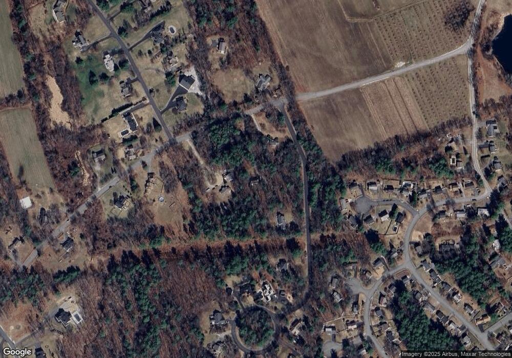
Map
Nearby Homes
- 22 Cathedral Cir
- 14 Parrish Hill Dr
- 6 Cornwall Ln Unit 7
- 4 Brick Manor Dr
- 334 Broad St
- 3 Richmond St
- 4 Nelson St
- 4 Jared Cir Unit U21
- 5 Chatfield Dr Unit U18
- 17 Dunbarton Dr
- 199 Pine Hill Rd
- 1 Dunbarton Dr
- 27 Country Hill Rd Unit U90
- 28 Bartemus Trail Unit U210
- 80 Bartemus Trail Unit U229
- 2 Sycamore Ln
- 11 Bartemus Trail Unit 204
- 8 Pilgrim Cir
- 10 Pilgrim Cir
- 650 W Hollis St