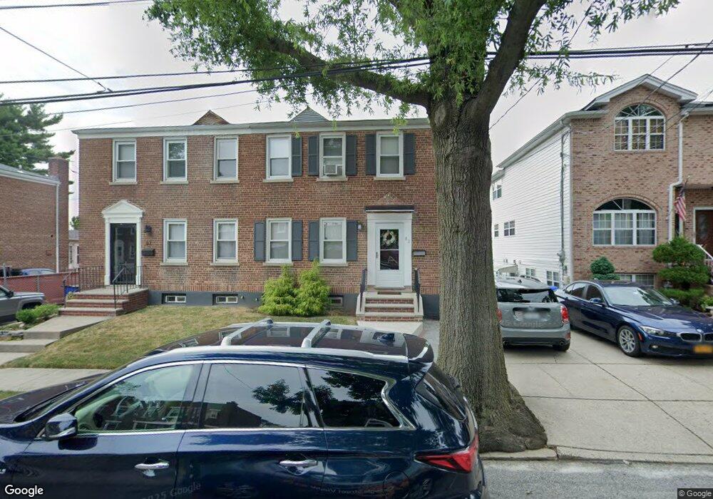
83 Kemball Ave Staten Island, NY 10314
Westerleigh NeighborhoodEstimated Value: $542,000 - $634,000
2
Beds
2
Baths
880
Sq Ft
$672/Sq Ft
Est. Value
About This Home
This home is located at 83 Kemball Ave, Staten Island, NY 10314 and is currently estimated at $591,231, approximately $671 per square foot. 83 Kemball Ave is a home located in Richmond County with nearby schools including P.S. 30 Westerleigh, I.S. 51 Edwin Markham, and Susan E Wagner High School.
Ownership History
Date
Name
Owned For
Owner Type
Purchase Details
Closed on
May 22, 2015
Sold by
Martinico Jeannie and Pate Jean
Bought by
Marino Elizabeth
Current Estimated Value
Purchase Details
Closed on
Aug 10, 1999
Sold by
Spitale Raymond
Bought by
Pate Jean and Martinico Jeannie
Purchase Details
Closed on
Apr 22, 1996
Sold by
Spitale Raymond
Bought by
Ole Kj Construction Corp
Purchase Details
Closed on
Mar 7, 1996
Sold by
Kailenta Edna
Bought by
Spitale Raymond
Create a Home Valuation Report for This Property
The Home Valuation Report is an in-depth analysis detailing your home's value as well as a comparison with similar homes in the area
Home Values in the Area
Average Home Value in this Area
Purchase History
| Date | Buyer | Sale Price | Title Company |
|---|---|---|---|
| Marino Elizabeth | $365,000 | Fidelity Natl Title Ins Co | |
| Pate Jean | $65,000 | -- | |
| Ole Kj Construction Corp | $83,000 | -- | |
| Spitale Raymond | $130,000 | -- |
Source: Public Records
Tax History Compared to Growth
Tax History
| Year | Tax Paid | Tax Assessment Tax Assessment Total Assessment is a certain percentage of the fair market value that is determined by local assessors to be the total taxable value of land and additions on the property. | Land | Improvement |
|---|---|---|---|---|
| 2025 | $4,364 | $41,280 | $6,174 | $35,106 |
| 2024 | $4,364 | $33,720 | $7,500 | $26,220 |
| 2023 | $4,163 | $20,500 | $7,604 | $12,896 |
| 2022 | $3,861 | $28,860 | $11,640 | $17,220 |
| 2021 | $3,840 | $29,280 | $11,640 | $17,640 |
| 2020 | $3,862 | $32,340 | $11,640 | $20,700 |
| 2019 | $4,704 | $32,820 | $11,640 | $21,180 |
| 2018 | $3,482 | $17,083 | $7,158 | $9,925 |
| 2017 | $3,285 | $16,117 | $8,079 | $8,038 |
| 2016 | $3,040 | $15,206 | $7,603 | $7,603 |
| 2015 | $2,896 | $15,206 | $9,504 | $5,702 |
| 2014 | $2,896 | $15,090 | $8,652 | $6,438 |
Source: Public Records
Map
Nearby Homes
- 80 Kemball Ave
- 160 Westcott Blvd
- 25 Coale Ave
- 36 Sawyer Ave
- 125 Westcott Blvd
- 148 Sturges St
- 136 Sturges St
- 142 Margaretta Ct
- 33 Gower St
- 254 Rice Ave
- 21 Winthrop Place
- 25 Winthrop Place
- 80 Beechwood Place
- 204 Utter Ave
- 14 Leonard Ave
- 751 Jewett Ave Unit 17
- 751 Jewett Ave
- 48 Markham Place
- 328 Manor Rd
- 86 Clermont Place