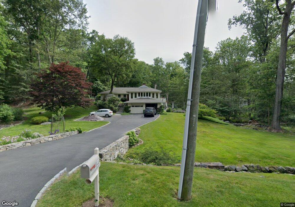
83 Laurel Ledge Rd Stamford, CT 06903
North Stamford NeighborhoodEstimated Value: $1,042,318 - $1,396,000
4
Beds
3
Baths
2,788
Sq Ft
$421/Sq Ft
Est. Value
About This Home
This home is located at 83 Laurel Ledge Rd, Stamford, CT 06903 and is currently estimated at $1,174,580, approximately $421 per square foot. 83 Laurel Ledge Rd is a home located in Fairfield County with nearby schools including Roxbury School, Cloonan School, and Westhill High School.
Ownership History
Date
Name
Owned For
Owner Type
Purchase Details
Closed on
Jul 18, 2000
Sold by
Romar Richard F and Romar Carole L
Bought by
Romansky Wesley A and Walsh Kathryn A
Current Estimated Value
Purchase Details
Closed on
May 1, 1998
Sold by
Love Harold R and Love Mary L
Bought by
Romar Richard F and Romar Carole L
Create a Home Valuation Report for This Property
The Home Valuation Report is an in-depth analysis detailing your home's value as well as a comparison with similar homes in the area
Home Values in the Area
Average Home Value in this Area
Purchase History
| Date | Buyer | Sale Price | Title Company |
|---|---|---|---|
| Romansky Wesley A | $567,000 | -- | |
| Romar Richard F | $463,000 | -- |
Source: Public Records
Mortgage History
| Date | Status | Borrower | Loan Amount |
|---|---|---|---|
| Closed | Romar Richard F | $280,000 | |
| Closed | Romar Richard F | $150,000 |
Source: Public Records
Tax History
| Year | Tax Paid | Tax Assessment Tax Assessment Total Assessment is a certain percentage of the fair market value that is determined by local assessors to be the total taxable value of land and additions on the property. | Land | Improvement |
|---|---|---|---|---|
| 2025 | $12,860 | $552,650 | $259,010 | $293,640 |
| 2024 | $12,249 | $538,180 | $259,010 | $279,170 |
| 2023 | $13,164 | $538,180 | $259,010 | $279,170 |
| 2022 | $11,326 | $430,150 | $196,890 | $233,260 |
| 2021 | $11,171 | $430,150 | $196,890 | $233,260 |
| 2020 | $10,896 | $430,150 | $196,890 | $233,260 |
| 2019 | $10,896 | $430,150 | $196,890 | $233,260 |
| 2018 | $10,517 | $430,150 | $196,890 | $233,260 |
| 2017 | $11,269 | $440,380 | $220,810 | $219,570 |
| 2016 | $10,930 | $440,380 | $220,810 | $219,570 |
| 2015 | $10,631 | $440,380 | $220,810 | $219,570 |
| 2014 | $10,265 | $440,380 | $220,810 | $219,570 |
Source: Public Records
Map
Nearby Homes
- 5 Old Wagon Rd
- 21 S Brook Dr
- 6 S Brook Dr
- Lot #21 S Brook Dr
- Lot #6 S Brook Dr
- 0 S Brook Dr Unit 170552650
- 21 Ravenglass Dr
- 150 Wildwood Rd
- 25 Wildwood Rd
- 40 Wildwood Rd
- 202 Fox Ridge Rd
- 33 Pinnacle Rock Rd
- 71 Heming Way
- 215 S Lake Dr
- 2856 Long Ridge Rd
- 1895 Long Ridge Rd
- 251 Saddle Hill Rd
- 43 Ridgecrest Rd
- 106 E Hunting Ridge Rd
- 93 E Middle Patent Rd
- 45 Laurel Ledge Ct
- 69 Laurel Ledge Rd
- 82 Laurel Ledge Rd
- 7 Laurel Ledge Ct
- 104 Laurel Ledge Rd
- 49 Laurel Ledge Ct
- 57 Laurel Ledge Rd
- 62 Laurel Ledge Rd
- 44 Laurel Ledge Ct
- 124 Laurel Ledge Rd
- 18 Laurel Ledge Ct
- 52 Laurel Ledge Ct
- 85 Tall Oaks Ct
- 37 Tall Oaks Rd
- 43 Laurel Ledge Rd
- 46 Laurel Ledge Rd
- 38 Laurel Ledge Ct
- 36 Laurel Ledge Ct
- 24 Tall Oaks Rd
- 28 Laurel Ledge Ct
Your Personal Tour Guide
Ask me questions while you tour the home.