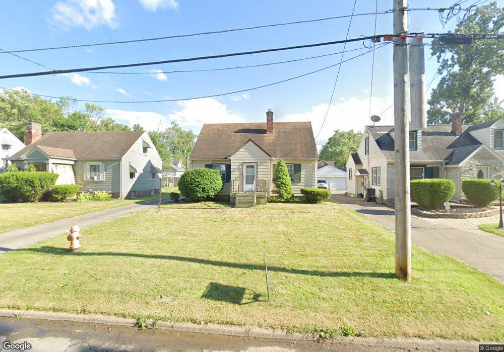
83 Leighton Ave Youngstown, OH 44512
Estimated Value: $113,791 - $125,000
2
Beds
1
Bath
922
Sq Ft
$131/Sq Ft
Est. Value
About This Home
This home is located at 83 Leighton Ave, Youngstown, OH 44512 and is currently estimated at $120,448, approximately $130 per square foot. 83 Leighton Ave is a home located in Mahoning County with nearby schools including Boardman Glenwood Junior High School, Boardman High School, and Horizon Science Academy - Youngstown.
Ownership History
Date
Name
Owned For
Owner Type
Purchase Details
Closed on
Apr 18, 2007
Sold by
Risden Kenneth L
Bought by
Jean David M and Jean Deborah P
Current Estimated Value
Home Financials for this Owner
Home Financials are based on the most recent Mortgage that was taken out on this home.
Original Mortgage
$68,875
Outstanding Balance
$40,881
Interest Rate
6.18%
Mortgage Type
Purchase Money Mortgage
Estimated Equity
$79,567
Purchase Details
Closed on
Nov 9, 2005
Bought by
David M Jean
Purchase Details
Closed on
Dec 28, 2003
Sold by
Voitus Ann A and Risden Patricia A
Bought by
Risden Kenneth L and Risden Patricia A
Purchase Details
Closed on
Feb 23, 2001
Sold by
Voitus Ann A and Voitus Ann N
Bought by
Risden Patricia A
Purchase Details
Closed on
May 9, 1978
Bought by
Voitus Ann A
Create a Home Valuation Report for This Property
The Home Valuation Report is an in-depth analysis detailing your home's value as well as a comparison with similar homes in the area
Home Values in the Area
Average Home Value in this Area
Purchase History
| Date | Buyer | Sale Price | Title Company |
|---|---|---|---|
| Jean David M | $72,500 | None Available | |
| David M Jean | -- | -- | |
| Risden Kenneth L | -- | -- | |
| Risden Patricia A | -- | -- | |
| Voitus Ann A | -- | -- |
Source: Public Records
Mortgage History
| Date | Status | Borrower | Loan Amount |
|---|---|---|---|
| Open | Jean David M | $68,875 |
Source: Public Records
Tax History
| Year | Tax Paid | Tax Assessment Tax Assessment Total Assessment is a certain percentage of the fair market value that is determined by local assessors to be the total taxable value of land and additions on the property. | Land | Improvement |
|---|---|---|---|---|
| 2025 | $1,373 | $26,390 | $3,780 | $22,610 |
| 2024 | $1,404 | $26,390 | $3,780 | $22,610 |
| 2023 | $1,386 | $26,390 | $3,780 | $22,610 |
| 2022 | $1,199 | $17,370 | $3,770 | $13,600 |
| 2021 | $1,200 | $17,370 | $3,770 | $13,600 |
| 2020 | $1,206 | $17,370 | $3,770 | $13,600 |
| 2019 | $1,224 | $15,240 | $3,310 | $11,930 |
| 2018 | $1,025 | $15,240 | $3,310 | $11,930 |
| 2017 | $1,007 | $15,240 | $3,310 | $11,930 |
| 2016 | $1,239 | $18,620 | $3,590 | $15,030 |
| 2015 | $1,215 | $18,620 | $3,590 | $15,030 |
| 2014 | $1,187 | $18,620 | $3,590 | $15,030 |
| 2013 | $1,172 | $18,620 | $3,590 | $15,030 |
Source: Public Records
Map
Nearby Homes
- 165 Mathews Rd Unit A
- 191 Mathews Rd Unit A
- 5503 Southern Blvd
- 6001 Applecrest Dr
- 0 Mathews Rd Unit 5038026
- 27 Erskine Ave
- 162 Erskine Ave
- 123 Melrose Ave
- 321 Meadowbrook Ave Unit 323
- 6511 Pembrooke Place
- 190 Melrose Ave
- 96 Aylesboro Ave
- 6785 Tanglewood Dr
- 390 Ridgefield Ave
- 31 Rockdale Ave
- 311 Brainard Dr
- 7046 Southern Blvd
- 368 Erskine Ave
- 732 Forest Ridge Dr
- 778 Edenridge Dr
Your Personal Tour Guide
Ask me questions while you tour the home.