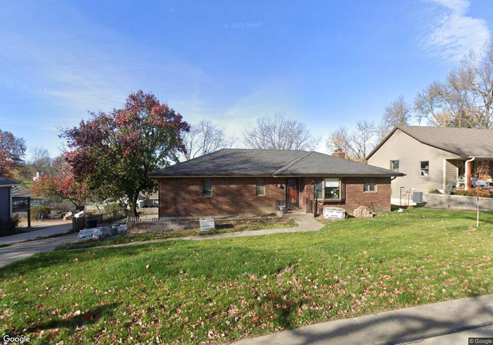
83 Maple Dr Platte City, MO 64079
Estimated Value: $272,833 - $339,000
3
Beds
3
Baths
1,463
Sq Ft
$212/Sq Ft
Est. Value
About This Home
This home is located at 83 Maple Dr, Platte City, MO 64079 and is currently estimated at $309,958, approximately $211 per square foot. 83 Maple Dr is a home located in Platte County with nearby schools including Platte County High School.
Ownership History
Date
Name
Owned For
Owner Type
Purchase Details
Closed on
Jul 30, 2008
Sold by
Grant Paul B and Grant Cynthia D
Bought by
Sherley Raymond
Current Estimated Value
Home Financials for this Owner
Home Financials are based on the most recent Mortgage that was taken out on this home.
Original Mortgage
$123,440
Outstanding Balance
$80,616
Interest Rate
6.4%
Mortgage Type
New Conventional
Estimated Equity
$229,342
Create a Home Valuation Report for This Property
The Home Valuation Report is an in-depth analysis detailing your home's value as well as a comparison with similar homes in the area
Home Values in the Area
Average Home Value in this Area
Purchase History
| Date | Buyer | Sale Price | Title Company |
|---|---|---|---|
| Sherley Raymond | -- | Platte County Title & Abstra |
Source: Public Records
Mortgage History
| Date | Status | Borrower | Loan Amount |
|---|---|---|---|
| Open | Sherley Raymond | $123,440 |
Source: Public Records
Tax History
| Year | Tax Paid | Tax Assessment Tax Assessment Total Assessment is a certain percentage of the fair market value that is determined by local assessors to be the total taxable value of land and additions on the property. | Land | Improvement |
|---|---|---|---|---|
| 2025 | $3,000 | $37,792 | $5,865 | $31,927 |
| 2024 | $2,885 | $37,792 | $5,865 | $31,927 |
| 2023 | $2,885 | $37,792 | $5,865 | $31,927 |
| 2022 | $2,546 | $33,007 | $5,865 | $27,142 |
| 2021 | $2,572 | $33,007 | $5,865 | $27,142 |
| 2020 | $2,450 | $31,071 | $4,560 | $26,511 |
| 2019 | $2,450 | $31,071 | $4,560 | $26,511 |
| 2018 | $2,467 | $31,071 | $4,560 | $26,511 |
| 2017 | $2,456 | $31,071 | $4,560 | $26,511 |
| 2016 | $2,443 | $31,071 | $4,560 | $26,511 |
| 2015 | $2,442 | $31,071 | $4,560 | $26,511 |
| 2013 | $2,251 | $31,071 | $0 | $0 |
Source: Public Records
Map
Nearby Homes
- 26 Hull Dr
- 38 Hillcrest Dr
- 500 Wells Rd
- 1300 Todd St
- 1216 Hampton Dr
- 22 Florentina St
- 212 High St
- 13719 Post Oak Ln
- 16855 NW 133rd St
- 16085 NW 134th St
- 13295 N Silver Ridge Dr
- 2503 Windmill Cir
- 2500 Windmill Dr
- 4816 NW 140th St
- 2305 Windmill Dr
- 105 Johnson Cir
- 4807 NW 141st St
- 17450 NW 130th Terrace
- 2708 Mercer Ln
- 4904 NW 141st St
Your Personal Tour Guide
Ask me questions while you tour the home.