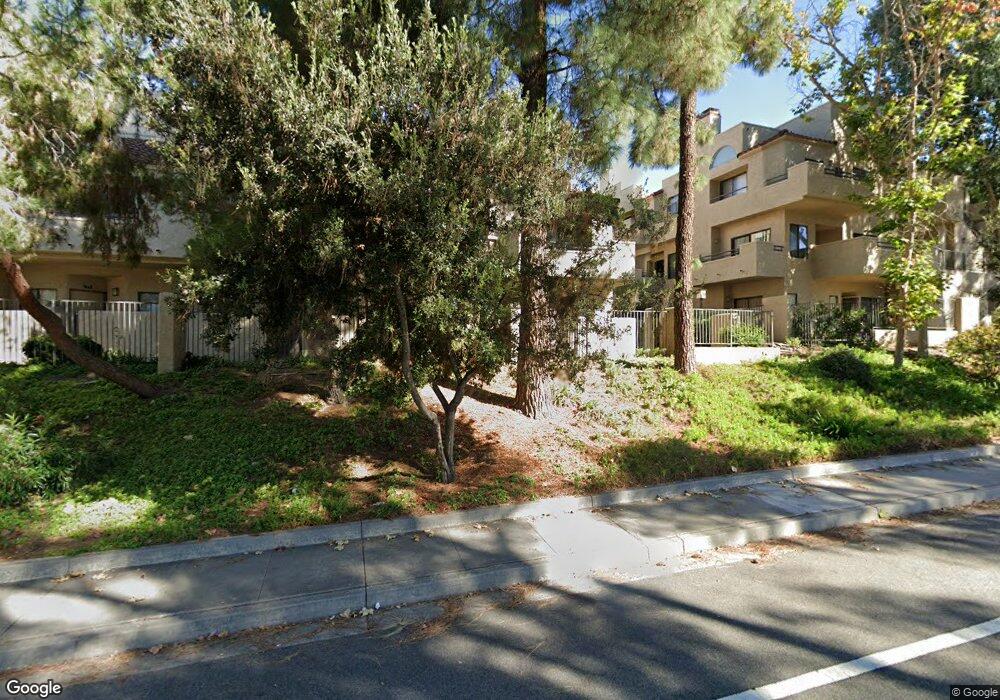
83 Mcafee Ct Unit 56 Thousand Oaks, CA 91360
Estimated Value: $521,000 - $550,000
2
Beds
3
Baths
1,122
Sq Ft
$472/Sq Ft
Est. Value
About This Home
This home is located at 83 Mcafee Ct Unit 56, Thousand Oaks, CA 91360 and is currently estimated at $529,711, approximately $472 per square foot. 83 Mcafee Ct Unit 56 is a home located in Ventura County with nearby schools including Weathersfield Elementary School, Los Cerritos Middle School, and Thousand Oaks High School.
Ownership History
Date
Name
Owned For
Owner Type
Purchase Details
Closed on
Jun 6, 2001
Sold by
Askren Margery
Bought by
Blunt Matthew D and Blunt Henry
Current Estimated Value
Home Financials for this Owner
Home Financials are based on the most recent Mortgage that was taken out on this home.
Original Mortgage
$130,000
Outstanding Balance
$49,520
Interest Rate
7.14%
Estimated Equity
$480,191
Purchase Details
Closed on
Mar 30, 1999
Sold by
Margery Askren
Bought by
Askren Margery
Home Financials for this Owner
Home Financials are based on the most recent Mortgage that was taken out on this home.
Original Mortgage
$121,000
Interest Rate
6.79%
Purchase Details
Closed on
Feb 7, 1998
Sold by
Russell Askren
Bought by
Askren Margery
Create a Home Valuation Report for This Property
The Home Valuation Report is an in-depth analysis detailing your home's value as well as a comparison with similar homes in the area
Purchase History
| Date | Buyer | Sale Price | Title Company |
|---|---|---|---|
| Blunt Matthew D | $180,000 | Equity Title Company | |
| Askren Margery | -- | American Title Co | |
| Askren Margery | -- | -- |
Source: Public Records
Mortgage History
| Date | Status | Borrower | Loan Amount |
|---|---|---|---|
| Open | Blunt Matthew D | $130,000 | |
| Previous Owner | Askren Margery | $121,000 |
Source: Public Records
Tax History
| Year | Tax Paid | Tax Assessment Tax Assessment Total Assessment is a certain percentage of the fair market value that is determined by local assessors to be the total taxable value of land and additions on the property. | Land | Improvement |
|---|---|---|---|---|
| 2025 | $3,231 | $265,881 | $106,349 | $159,532 |
| 2024 | $3,231 | $260,668 | $104,264 | $156,404 |
| 2023 | $3,120 | $255,557 | $102,219 | $153,338 |
| 2022 | $3,063 | $250,547 | $100,215 | $150,332 |
| 2021 | $3,008 | $245,635 | $98,250 | $147,385 |
| 2020 | $2,615 | $243,119 | $97,244 | $145,875 |
| 2019 | $2,547 | $238,353 | $95,338 | $143,015 |
| 2018 | $2,423 | $233,680 | $93,469 | $140,211 |
| 2017 | $2,375 | $229,099 | $91,637 | $137,462 |
| 2016 | $2,352 | $224,608 | $89,841 | $134,767 |
| 2015 | $2,310 | $221,237 | $88,493 | $132,744 |
| 2014 | $2,276 | $216,905 | $86,760 | $130,145 |
Source: Public Records
Map
Nearby Homes
- 3634 Mountclef Blvd
- 71 Del Ray Cir
- 190 Lucero St
- 416 Camino Dos Palos
- 276 Verde Vista Dr
- 3625 Calle Quebracho
- 705 Rushing Creek Place
- 205 Cedar Heights Dr
- 2797 Beckett Ct
- 763 E Avenida de Los Arboles
- 187 Tennyson St
- 195 Tennyson St
- 2578 Calle Abedul
- 2839 Trillium St
- 181 W Avenida de Las Flores
- 3156 Boxwood Cir
- 136 Erten St
- 458 Serento Cir
- 250 W Avenida de Las Flores
- 139 Prentiss St
- 79 Mcafee Ct
- 85 Mcafee Ct Unit 49
- 85 Mcafee Ct
- 81 Mcafee Ct
- 75 Mcafee Ct
- 77 Mcafee Ct
- 105 Mcafee Ct Unit 62
- 103 Mcafee Ct Unit 61
- 107 Mcafee Ct
- 71 Mcafee Ct
- 99 Mcafee Ct Unit 59
- 97 Mcafee Ct
- 99 Mcafee Ct
- 95 Mcafee Ct
- 109 Mcafee Ct Unit 64
- 109 Mcafee Ct
- 101 Mcafee Ct Unit 60
- 87 Mcafee Ct
- 89 Mcafee Ct
- 91 Mcafee Ct
Your Personal Tour Guide
Ask me questions while you tour the home.