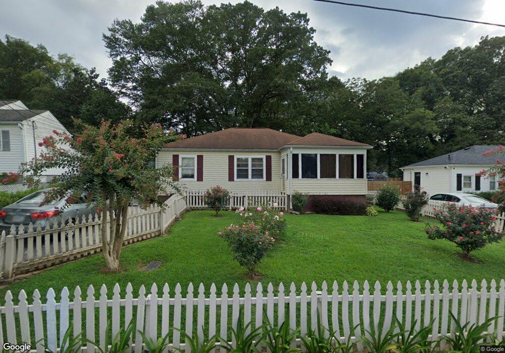
83 Otis St NE Marietta, GA 30060
Austin NeighborhoodEstimated Value: $290,297 - $323,000
3
Beds
1
Bath
1,102
Sq Ft
$281/Sq Ft
Est. Value
About This Home
This home is located at 83 Otis St NE, Marietta, GA 30060 and is currently estimated at $309,824, approximately $281 per square foot. 83 Otis St NE is a home located in Cobb County with nearby schools including Marietta Sixth Grade Academy, Sawyer Road Elementary School, and Marietta Middle School.
Ownership History
Date
Name
Owned For
Owner Type
Purchase Details
Closed on
Jul 15, 1997
Sold by
Bonner D Croig
Bought by
Florence J B and Florence Elnora
Current Estimated Value
Home Financials for this Owner
Home Financials are based on the most recent Mortgage that was taken out on this home.
Original Mortgage
$58,300
Outstanding Balance
$8,264
Interest Rate
7.87%
Mortgage Type
FHA
Estimated Equity
$301,560
Purchase Details
Closed on
Nov 21, 1994
Sold by
Bonner D Craig
Bought by
Bellard Kayprus Virginia
Create a Home Valuation Report for This Property
The Home Valuation Report is an in-depth analysis detailing your home's value as well as a comparison with similar homes in the area
Home Values in the Area
Average Home Value in this Area
Purchase History
| Date | Buyer | Sale Price | Title Company |
|---|---|---|---|
| Florence J B | $59,700 | -- | |
| Bellard Kayprus Virginia | $54,000 | -- |
Source: Public Records
Mortgage History
| Date | Status | Borrower | Loan Amount |
|---|---|---|---|
| Open | Florence J B | $58,300 | |
| Closed | Bellard Kayprus Virginia | -- |
Source: Public Records
Tax History Compared to Growth
Tax History
| Year | Tax Paid | Tax Assessment Tax Assessment Total Assessment is a certain percentage of the fair market value that is determined by local assessors to be the total taxable value of land and additions on the property. | Land | Improvement |
|---|---|---|---|---|
| 2025 | $49 | $135,988 | $58,000 | $77,988 |
| 2024 | $49 | $135,988 | $58,000 | $77,988 |
| 2023 | $0 | $95,508 | $48,000 | $47,508 |
| 2022 | $49 | $77,244 | $34,000 | $43,244 |
| 2021 | $54 | $61,380 | $26,000 | $35,380 |
| 2020 | $53 | $54,164 | $24,000 | $30,164 |
| 2019 | $52 | $46,852 | $18,000 | $28,852 |
| 2018 | $51 | $40,444 | $14,000 | $26,444 |
| 2017 | $40 | $33,688 | $12,000 | $21,688 |
| 2016 | $40 | $27,880 | $8,800 | $19,080 |
| 2015 | $31 | $25,992 | $8,800 | $17,192 |
| 2014 | $2 | $22,032 | $0 | $0 |
Source: Public Records
Map
Nearby Homes
- 833 Jensmith Ave
- 1030 Shy Ln
- 79 Ayers Ave NE
- 985 Shelnutt Dr
- 143 Austin Ave NE
- 247 Austin Ave NE
- 554 Fort St NE
- 157 Merritt St SE Unit 159
- 734 Frasier Cir SE
- 743 Frasier Cir SE
- 808 S Park Dr SE
- 0 Inglenook Walk
- 928 Springdale Dr
- 104 Jackson Cir SE
- 494 Waterman St SE
- 490 Waterman St SE
- 486 Waterman St SE
- 79 Otis St NE
- 91 Otis St NE
- 75 Otis St NE
- 92 Otis St NE
- 96 Otis St NE
- 97 Otis St NE
- 102 Otis St NE
- 76 Howard St NE
- 115 Fender Walk
- 108 Otis St NE
- 105 Fender Walk
- 125 Fender Walk
- 103 Otis St NE
- 811 Corsiglla Farm
- 811 Corsiglia Farm
- 109 Howard St NE
- 801 Lady Bird Landing
- 0 Covington Ave NE
- 821 Corsiglla Farm
- 821 Corsiglia Farm