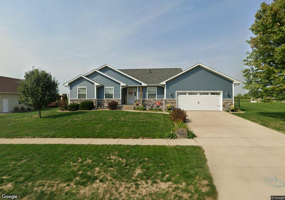
83 Pheasant Ave Atkins, IA 52206
Estimated Value: $324,000 - $405,377
4
Beds
5
Baths
1,844
Sq Ft
$204/Sq Ft
Est. Value
About This Home
This home is located at 83 Pheasant Ave, Atkins, IA 52206 and is currently estimated at $375,594, approximately $203 per square foot. 83 Pheasant Ave is a home located in Benton County with nearby schools including Benton Community Senior High School.
Ownership History
Date
Name
Owned For
Owner Type
Purchase Details
Closed on
Apr 13, 2006
Sold by
Bolder Ridge Inc
Bought by
Becker Shawn A and Becker Nicole J
Current Estimated Value
Home Financials for this Owner
Home Financials are based on the most recent Mortgage that was taken out on this home.
Original Mortgage
$207,000
Interest Rate
6.34%
Mortgage Type
Purchase Money Mortgage
Create a Home Valuation Report for This Property
The Home Valuation Report is an in-depth analysis detailing your home's value as well as a comparison with similar homes in the area
Home Values in the Area
Average Home Value in this Area
Purchase History
| Date | Buyer | Sale Price | Title Company |
|---|---|---|---|
| Becker Shawn A | $30,000 | None Available |
Source: Public Records
Mortgage History
| Date | Status | Borrower | Loan Amount |
|---|---|---|---|
| Closed | Becker Shawn A | $207,000 |
Source: Public Records
Tax History Compared to Growth
Tax History
| Year | Tax Paid | Tax Assessment Tax Assessment Total Assessment is a certain percentage of the fair market value that is determined by local assessors to be the total taxable value of land and additions on the property. | Land | Improvement |
|---|---|---|---|---|
| 2025 | $5,078 | $390,200 | $49,000 | $341,200 |
| 2024 | $5,078 | $343,200 | $48,500 | $294,700 |
| 2023 | $4,810 | $343,200 | $48,500 | $294,700 |
| 2022 | $4,772 | $293,000 | $38,800 | $254,200 |
| 2021 | $4,772 | $293,000 | $38,800 | $254,200 |
| 2020 | $3,394 | $230,100 | $34,000 | $196,100 |
| 2019 | $3,404 | $230,100 | $34,000 | $196,100 |
| 2018 | $3,344 | $229,300 | $31,400 | $197,900 |
| 2017 | $3,344 | $229,300 | $31,400 | $197,900 |
| 2016 | $3,326 | $212,300 | $29,100 | $183,200 |
| 2015 | $3,326 | $212,300 | $29,100 | $183,200 |
| 2014 | $3,362 | $213,100 | $0 | $0 |
Source: Public Records
Map
Nearby Homes
- 85 Pheasant Ave
- 602 Railroad St
- 82 Pheasant Ave
- 87 Pheasant Ave
- 80 Pheasant Ave
- 84 Pheasant Ave
- 86 Pheasant Ave
- 89 Pheasant Ave
- 601 Railroad St
- 81 Cardinal Ave
- 83 Cardinal Ave
- 603 Railroad St
- 505 Railroad St
- 85 Cardinal Ave
- 88 Pheasant Ave
- 503 Railroad St
- 91 Pheasant Ave
- 501 Railroad St
- 90 Pheasant Ave
- 89 Cardinal Ave