83 Royal Ct Howard, OH 43028
Apple Valley NeighborhoodEstimated Value: $230,000 - $312,000
2
Beds
2
Baths
1,008
Sq Ft
$266/Sq Ft
Est. Value
About This Home
This home is located at 83 Royal Ct, Howard, OH 43028 and is currently estimated at $268,078, approximately $265 per square foot. 83 Royal Ct is a home located in Knox County with nearby schools including East Knox Elementary School and East Knox High School.
Ownership History
Date
Name
Owned For
Owner Type
Purchase Details
Closed on
Jun 19, 2003
Sold by
Umstattd William D and Umstattd Marj
Bought by
Kunkel John F and Kunkel Billie J
Current Estimated Value
Purchase Details
Closed on
Sep 23, 2002
Sold by
Umstattd Gary D and Umstattd Linda A
Bought by
Umstattd William D and Umstattd Marj
Purchase Details
Closed on
Jun 23, 2000
Bought by
Umstattd Gary D and Umstattd Linda A
Purchase Details
Closed on
Mar 9, 1995
Sold by
Umstattd William D and Umstattd Marj
Bought by
Umstattd Family Trust
Purchase Details
Closed on
Sep 21, 1992
Sold by
Umstattd William D and Umstattd Marj
Bought by
Umstattd William D and Umstattd Marj
Purchase Details
Closed on
Aug 24, 1992
Sold by
Umstattd William D and Umstattd Marj
Bought by
Umstattd William D and Umstattd Marj
Purchase Details
Closed on
Jun 12, 1992
Sold by
Umstattd William D and Umstattd Marj
Bought by
Umstattd William D and Umstattd Marj
Create a Home Valuation Report for This Property
The Home Valuation Report is an in-depth analysis detailing your home's value as well as a comparison with similar homes in the area
Home Values in the Area
Average Home Value in this Area
Purchase History
| Date | Buyer | Sale Price | Title Company |
|---|---|---|---|
| Kunkel John F | $119,700 | -- | |
| Umstattd William D | -- | -- | |
| Umstattd Gary D | -- | -- | |
| Umstattd Family Trust | -- | -- | |
| Umstattd William D | -- | -- | |
| Umstattd William D | -- | -- | |
| Umstattd William D | -- | -- |
Source: Public Records
Tax History
| Year | Tax Paid | Tax Assessment Tax Assessment Total Assessment is a certain percentage of the fair market value that is determined by local assessors to be the total taxable value of land and additions on the property. | Land | Improvement |
|---|---|---|---|---|
| 2024 | $2,830 | $71,050 | $5,740 | $65,310 |
| 2023 | $2,853 | $71,050 | $5,740 | $65,310 |
| 2022 | $2,358 | $50,390 | $4,070 | $46,320 |
| 2021 | $2,358 | $50,390 | $4,070 | $46,320 |
| 2020 | $2,245 | $50,390 | $4,070 | $46,320 |
| 2019 | $2,160 | $44,480 | $4,000 | $40,480 |
| 2018 | $2,023 | $44,480 | $4,000 | $40,480 |
| 2017 | $2,004 | $44,480 | $4,000 | $40,480 |
| 2016 | $1,885 | $41,190 | $3,700 | $37,490 |
| 2015 | $1,715 | $41,190 | $3,700 | $37,490 |
| 2014 | $1,718 | $41,190 | $3,700 | $37,490 |
| 2013 | $1,865 | $42,480 | $4,520 | $37,960 |
Source: Public Records
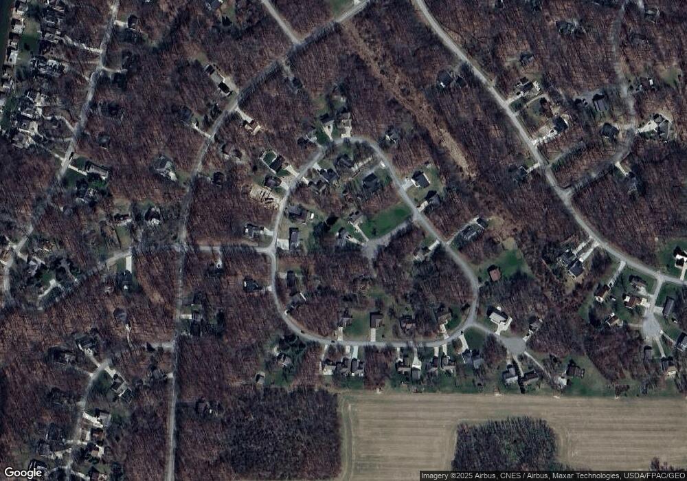
Map
Nearby Homes
- 70 Queensway Ct
- 0 Highland Hills Dr Unit 298
- 0 Westmoreland Dr Unit Lot 157 & 158
- 0 Westmoreland Dr Unit 20250682
- 58 Westmoreland Ct
- 405 Highland Hills Dr
- 363 Highland Hills Cir
- 745 Valleywood Heights Dr
- 14119 Magers Rd
- 14853 King Rd
- 15569 King Rd
- 544 Grand Ridge Dr
- 329 S Apple Hill
- 865 Terrace View Dr
- 817 Highland Hills Dr
- 124 Heatherwood Dr
- 916 Valleywood Heights Dr
- 828 Terrace View Dr
- 0 Valleywood Heights Dr Unit 20260166
- 0 Valleywood Heights Dr Unit lot25
- 79 Royal Ct
- 876 Royal Cir
- 126 Royal Cir
- 868 Royal Cir
- 856 Royal Cir
- 84 Royal Ct
- 704 Royal Cir
- 852 Royal Cir
- 0 Royal Cir Unit 2744448
- 0 Royal Cir Unit Lt114 2657161
- 0 Royal Cir Unit Lt107 2657159
- 0 Royal Cir Unit Lt107 2651449
- 0 Royal Cir Unit Lt114 2650019
- 0 Royal Cir Unit L109 9834282
- 0 Royal Cir Unit L110 9900474
- 0 Royal Cir Unit 2210546
- 0 Royal Cir Unit 223010304
- 0 Royal Cir Unit 20230190
- 801 Royal Cir
- 0 Royal Cir Unit 9052203
Your Personal Tour Guide
Ask me questions while you tour the home.