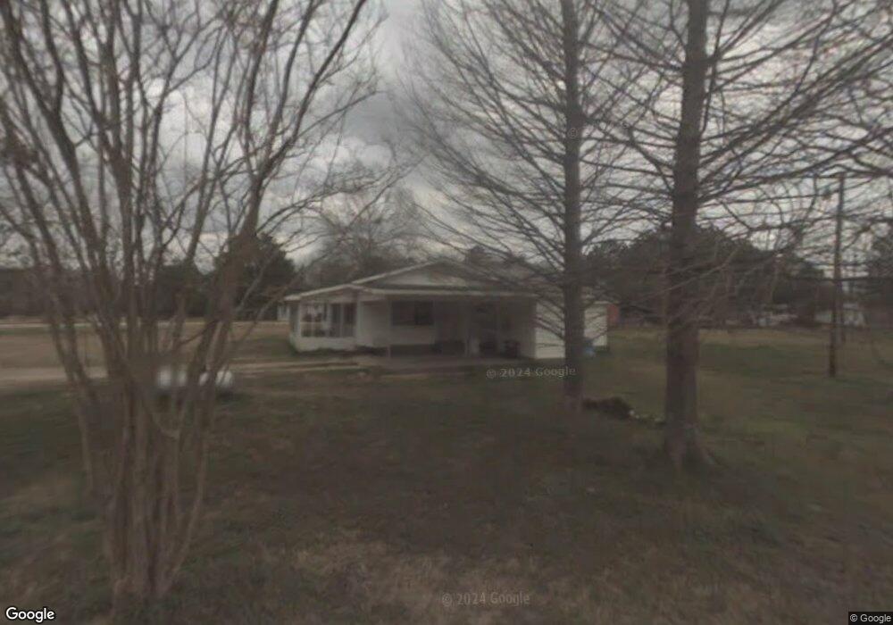
83 Rushton Rd Laurel, MS 39443
Estimated Value: $79,750 - $199,000
3
Beds
1
Bath
1,373
Sq Ft
$102/Sq Ft
Est. Value
About This Home
This home is located at 83 Rushton Rd, Laurel, MS 39443 and is currently estimated at $139,438, approximately $101 per square foot. 83 Rushton Rd is a home located in Jones County with nearby schools including East Jones Elementary School.
Ownership History
Date
Name
Owned For
Owner Type
Purchase Details
Closed on
Feb 20, 2014
Sold by
Kimberly Lashae Kimberly Lashae
Bought by
Bergeron Jason A
Current Estimated Value
Home Financials for this Owner
Home Financials are based on the most recent Mortgage that was taken out on this home.
Original Mortgage
$74,232
Outstanding Balance
$56,127
Interest Rate
4.43%
Mortgage Type
New Conventional
Estimated Equity
$83,311
Purchase Details
Closed on
Dec 9, 2010
Sold by
Olivarez David and Olivarez David Michael
Bought by
Hilbun Kimberly Tashae
Home Financials for this Owner
Home Financials are based on the most recent Mortgage that was taken out on this home.
Original Mortgage
$54,269
Interest Rate
4.75%
Mortgage Type
FHA
Create a Home Valuation Report for This Property
The Home Valuation Report is an in-depth analysis detailing your home's value as well as a comparison with similar homes in the area
Purchase History
| Date | Buyer | Sale Price | Title Company |
|---|---|---|---|
| Bergeron Jason A | $71,000 | -- | |
| Hilbun Kimberly Tashae | -- | -- |
Source: Public Records
Mortgage History
| Date | Status | Borrower | Loan Amount |
|---|---|---|---|
| Open | Bergeron Jason A | $74,232 | |
| Previous Owner | Hilbun Kimberly Tashae | $54,269 |
Source: Public Records
Tax History
| Year | Tax Paid | Tax Assessment Tax Assessment Total Assessment is a certain percentage of the fair market value that is determined by local assessors to be the total taxable value of land and additions on the property. | Land | Improvement |
|---|---|---|---|---|
| 2025 | $615 | $5,107 | $0 | $0 |
| 2024 | $608 | $4,804 | $0 | $0 |
| 2023 | $608 | $4,804 | $0 | $0 |
| 2022 | $622 | $4,804 | $0 | $0 |
| 2021 | $927 | $5,516 | $0 | $0 |
| 2020 | $324 | $3,537 | $0 | $0 |
| 2019 | $325 | $3,537 | $0 | $0 |
| 2018 | $325 | $3,537 | $0 | $0 |
| 2017 | $325 | $3,537 | $0 | $0 |
| 2016 | $293 | $3,324 | $0 | $0 |
| 2015 | $273 | $3,324 | $0 | $0 |
| 2014 | $273 | $3,324 | $0 | $0 |
Source: Public Records
Map
Nearby Homes
- 224 Magnolia Rd
- 12 Timber Ridge
- 00 Timber Ridge Dr
- 30 Shadow Ridge Dr
- 22 Shadow Ridge Dr
- 19 Shadow Ridge Dr
- 0 Magnolia Rd
- 17 Shadow Ridge Dr
- 16 Shadow Ridge Dr
- 8 Shadow Ridge Dr
- 10 Shadow Ridge Dr
- 101 Pearl Hodge Rd
- 0 Crumbly Rd Unit 37440
- 36 Powers Dr
- 71 Thomas Ed Rustin Rd
- 27 Pace Martin Rd
- 23 Wren Sam Rd
- 0 Wansley-Clark Dirt Pit Rd
- 27 Forest Glen Dr
- 215 Church Dr
- 122 Rushton Rd
- 0 Rushton Rd
- 00 Rushton Rd
- 72 Rushton Rd
- 11 Red Hill Crossing Rd
- 92 Rushton Rd
- 55 Rushton Rd
- 5 Milton Rushton Rd
- 31 Red Hill Crossing Rd
- 12 Milton Rushton Rd
- 45 Rushton Rd
- 125 Rushton Rd
- 22 Rushton Rd
- 175 Rushton Rd
- 30 Rushton Rd
- 26 Rushton Rd
- 151 Rushton Rd
- 153 Rushton Rd
- 161 Rushton Rd
- 20 Rushton Rd
Your Personal Tour Guide
Ask me questions while you tour the home.