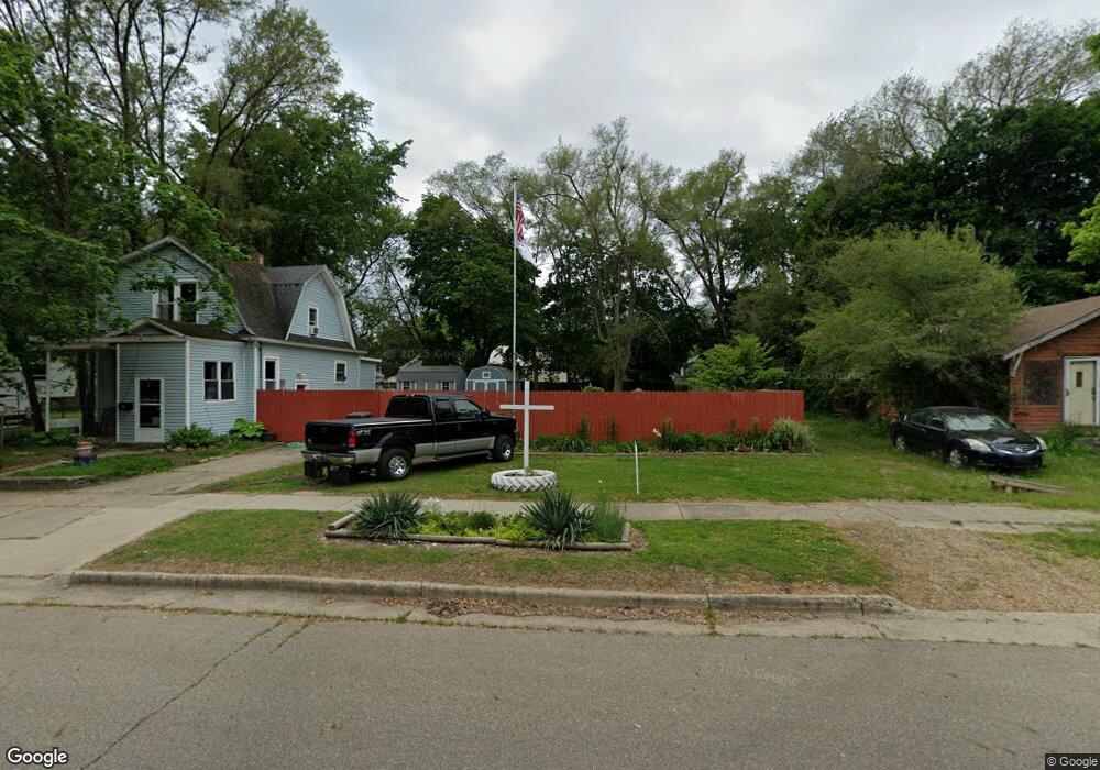
83 Sharon Ave Battle Creek, MI 49017
Northeast Battle Creek NeighborhoodEstimated Value: $37,000 - $136,000
--
Bed
--
Bath
--
Sq Ft
4,356
Sq Ft Lot
About This Home
This home is located at 83 Sharon Ave, Battle Creek, MI 49017 and is currently estimated at $92,667. 83 Sharon Ave is a home located in Calhoun County with nearby schools including Verona Elementary School, Northwestern Middle School, and Battle Creek Central High School.
Ownership History
Date
Name
Owned For
Owner Type
Purchase Details
Closed on
Sep 26, 2013
Sold by
Calhoun County Treasurer
Bought by
Johnson Steven L and Johnson Margaret J
Current Estimated Value
Purchase Details
Closed on
Dec 9, 2010
Sold by
Eh Pooled 910 Lp
Bought by
Sweetco Properties Llc
Purchase Details
Closed on
Sep 22, 2010
Sold by
Rose Acceptance Inc
Bought by
Eh Pooled 910 Lp
Purchase Details
Closed on
Sep 1, 2010
Sold by
First National Acceptance Company
Bought by
Rose Acceptance Inc
Purchase Details
Closed on
Nov 12, 2001
Sold by
Baughman Larry and Baughman Dawn
Bought by
Mcnutt Leotis
Purchase Details
Closed on
Jun 23, 1998
Bought by
Baughman Larry and Baughman Dawn
Purchase Details
Closed on
May 1, 1991
Sold by
Tax Deed
Create a Home Valuation Report for This Property
The Home Valuation Report is an in-depth analysis detailing your home's value as well as a comparison with similar homes in the area
Home Values in the Area
Average Home Value in this Area
Purchase History
| Date | Buyer | Sale Price | Title Company |
|---|---|---|---|
| Johnson Steven L | $1,800 | None Available | |
| Sweetco Properties Llc | -- | None Available | |
| Eh Pooled 910 Lp | $4,000 | None Available | |
| Rose Acceptance Inc | -- | None Available | |
| Mcnutt Leotis | $36,000 | -- | |
| Baughman Larry | $7,300 | -- | |
| -- | $800 | -- |
Source: Public Records
Tax History Compared to Growth
Tax History
| Year | Tax Paid | Tax Assessment Tax Assessment Total Assessment is a certain percentage of the fair market value that is determined by local assessors to be the total taxable value of land and additions on the property. | Land | Improvement |
|---|---|---|---|---|
| 2025 | $160 | $4,400 | $0 | $0 |
| 2024 | $74 | $4,100 | $0 | $0 |
| 2023 | $140 | $3,920 | $0 | $0 |
| 2022 | $67 | $3,740 | $0 | $0 |
| 2021 | $136 | $3,650 | $0 | $0 |
| 2020 | $134 | $3,630 | $0 | $0 |
| 2019 | $130 | $3,610 | $0 | $0 |
| 2018 | $120 | $3,110 | $2,030 | $1,080 |
| 2017 | $0 | $3,120 | $0 | $0 |
| 2016 | $0 | $3,140 | $0 | $0 |
| 2015 | -- | $2,190 | $1,638 | $552 |
| 2014 | -- | $1,070 | $0 | $0 |
Source: Public Records
Map
Nearby Homes
- 40 Oxford St
- 228 East Ave N
- 174 East Ave N
- 495 Emmett St E
- 758 Roosevelt Ave E
- 731 Roosevelt Ave E
- 292 Hunter St
- 179 Bryant St
- 0 Capital Ave NE
- 186 Bryant St
- 37 Convis St
- 28 Convis St
- 21 Bradley St
- 723 Capital Ave NE
- 276 Mckinley Ave N
- 21 Bryant St
- 52 Maple Grove Ave
- 124 Broad St N
- 0 Hopkins St
- 20 Piper Ave