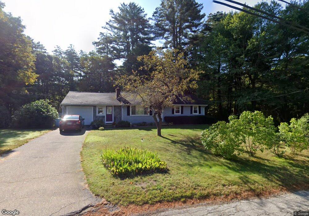
83 Shea Rd West Brookfield, MA 01585
Estimated Value: $391,000 - $448,000
3
Beds
1
Bath
1,330
Sq Ft
$309/Sq Ft
Est. Value
About This Home
This home is located at 83 Shea Rd, West Brookfield, MA 01585 and is currently estimated at $410,530, approximately $308 per square foot. 83 Shea Rd is a home located in Worcester County with nearby schools including Quaboag Regional High School.
Ownership History
Date
Name
Owned For
Owner Type
Purchase Details
Closed on
Jun 24, 2024
Sold by
Shea Hilarie E
Bought by
83 Shea Road Ret and Shea
Current Estimated Value
Purchase Details
Closed on
Feb 26, 2009
Sold by
Hennessy Henry Est and Stolgitis
Bought by
Shea Hilarie E
Home Financials for this Owner
Home Financials are based on the most recent Mortgage that was taken out on this home.
Original Mortgage
$126,000
Interest Rate
5%
Mortgage Type
Purchase Money Mortgage
Create a Home Valuation Report for This Property
The Home Valuation Report is an in-depth analysis detailing your home's value as well as a comparison with similar homes in the area
Home Values in the Area
Average Home Value in this Area
Purchase History
| Date | Buyer | Sale Price | Title Company |
|---|---|---|---|
| 83 Shea Road Ret | -- | None Available | |
| 83 Shea Road Ret | -- | None Available | |
| Shea Hilarie E | $140,000 | -- | |
| Shea Hilarie E | $140,000 | -- |
Source: Public Records
Mortgage History
| Date | Status | Borrower | Loan Amount |
|---|---|---|---|
| Previous Owner | Shea Hilarie E | $126,000 | |
| Previous Owner | Shea Hilarie E | $50,000 |
Source: Public Records
Tax History
| Year | Tax Paid | Tax Assessment Tax Assessment Total Assessment is a certain percentage of the fair market value that is determined by local assessors to be the total taxable value of land and additions on the property. | Land | Improvement |
|---|---|---|---|---|
| 2025 | $3,194 | $296,300 | $57,700 | $238,600 |
| 2024 | $3,327 | $296,300 | $57,700 | $238,600 |
| 2023 | $3,273 | $273,000 | $52,300 | $220,700 |
| 2022 | $2,835 | $214,300 | $50,100 | $164,200 |
| 2021 | $5,270 | $197,400 | $50,100 | $147,300 |
| 2020 | $1,410 | $164,700 | $50,100 | $114,600 |
| 2019 | $2,581 | $164,700 | $50,100 | $114,600 |
| 2018 | $2,563 | $159,500 | $50,100 | $109,400 |
| 2017 | $2,613 | $162,700 | $49,500 | $113,200 |
| 2016 | $2,523 | $162,700 | $49,500 | $113,200 |
| 2015 | $2,437 | $162,700 | $49,500 | $113,200 |
Source: Public Records
Map
Nearby Homes
- 260 Wickaboag Valley Rd
- 97 Wickaboag Valley Rd
- 138 Ragged Hill Rd
- 291 Wigwam Rd
- 21 Beach Dr
- 65 Pierce Rd
- 62 Cottage St Unit 7
- 179 Pierce Rd
- 49 Smith Hanson Rd
- 4 E Main St
- 91 W Main St
- 17 Moorings Way
- 11 Central St
- 0 Barr Rd
- 16 Smith and Hanson Rd
- 12 West St
- 233 Ragged Hill Rd
- 18-20 Old w Brookfield Rd
- 132 E Main St
- 3 Foster Rd
Your Personal Tour Guide
Ask me questions while you tour the home.