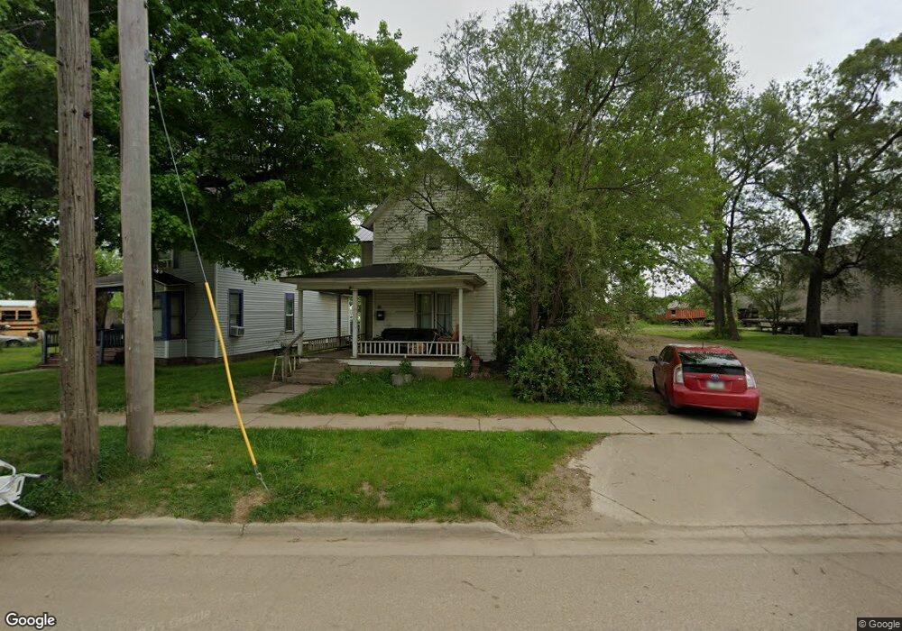
83 South Ave Battle Creek, MI 49014
Post Franklin NeighborhoodEstimated Value: $52,000 - $92,000
3
Beds
1
Bath
1,214
Sq Ft
$58/Sq Ft
Est. Value
About This Home
This home is located at 83 South Ave, Battle Creek, MI 49014 and is currently estimated at $70,290, approximately $57 per square foot. 83 South Ave is a home located in Calhoun County with nearby schools including Post-Franklin Elementary School, Springfield Middle School, and Battle Creek Central High School.
Ownership History
Date
Name
Owned For
Owner Type
Purchase Details
Closed on
Oct 19, 2010
Sold by
Moton Billy
Bought by
Davis Sirine Dowdell
Current Estimated Value
Purchase Details
Closed on
Feb 24, 2005
Sold by
Moton Billy
Bought by
Moton Billy and House Carolyn I
Purchase Details
Closed on
Feb 15, 2005
Sold by
Rodgers Donald L and Simmons Suzanne M
Bought by
Schabbel Derrick L and Schabbel Tristen
Purchase Details
Closed on
Nov 15, 2001
Sold by
Rodgers Estate Bernice
Bought by
Rodgers Donald L and Rodgers Simmons,Suzanne M
Create a Home Valuation Report for This Property
The Home Valuation Report is an in-depth analysis detailing your home's value as well as a comparison with similar homes in the area
Home Values in the Area
Average Home Value in this Area
Purchase History
| Date | Buyer | Sale Price | Title Company |
|---|---|---|---|
| Davis Sirine Dowdell | -- | None Available | |
| Moton Billy | -- | Chicago Title Of Michigan | |
| Moton Billy | $10,000 | Chicago Title Of Michigan | |
| Schabbel Derrick L | $7,000 | Chicago Title Of Michigan | |
| Rodgers Donald L | -- | -- |
Source: Public Records
Tax History Compared to Growth
Tax History
| Year | Tax Paid | Tax Assessment Tax Assessment Total Assessment is a certain percentage of the fair market value that is determined by local assessors to be the total taxable value of land and additions on the property. | Land | Improvement |
|---|---|---|---|---|
| 2025 | -- | $28,200 | $0 | $0 |
| 2024 | $657 | $23,736 | $0 | $0 |
| 2023 | $836 | $21,788 | $0 | $0 |
| 2022 | $594 | $18,155 | $0 | $0 |
| 2021 | $795 | $16,652 | $0 | $0 |
| 2020 | $749 | $15,567 | $0 | $0 |
| 2019 | $793 | $13,044 | $0 | $0 |
| 2018 | $793 | $11,575 | $319 | $11,256 |
| 2017 | $895 | $16,249 | $0 | $0 |
| 2016 | $893 | $15,348 | $0 | $0 |
| 2015 | $875 | $18,078 | $1,638 | $16,440 |
| 2014 | $875 | $13,616 | $1,638 | $11,978 |
Source: Public Records
Map
Nearby Homes
- 93 Goguac St E
- 66 Cleveland St
- 390 E Michigan Ave
- 50 Douglas St
- 76 Taft St
- 174 Cherry St
- 130 Cliff St
- 418 Main St
- 286 Capital Ave NE
- 17 Tennyson Ave
- 119 Calhoun St
- 162 Calhoun St
- 501 Michigan Ave E
- 96 Battle Creek Ave
- 122 North Ave
- 507 Michigan Ave E
- 74 Union St S
- 49 Merritt St
- 61 Rose St
- 47 Alden Ave W