83 Wheeler Rd Hollis, NH 03049
Hollis NeighborhoodEstimated Value: $574,000 - $905,000
3
Beds
2
Baths
1,600
Sq Ft
$443/Sq Ft
Est. Value
About This Home
This home is located at 83 Wheeler Rd, Hollis, NH 03049 and is currently estimated at $709,144, approximately $443 per square foot. 83 Wheeler Rd is a home with nearby schools including Hollis Primary School, Hollis Upper Elementary School, and Hollis-Brookline Middle School.
Ownership History
Date
Name
Owned For
Owner Type
Purchase Details
Closed on
Mar 28, 2017
Sold by
Dumaine Miriam and Russell David J
Bought by
Dumaine Ret
Current Estimated Value
Purchase Details
Closed on
Feb 2, 2017
Sold by
Dumaine Ret
Bought by
Dumaine Miriam
Purchase Details
Closed on
Jul 28, 1999
Sold by
Mitchell Charles Z and Mitchell Nancy R
Bought by
Dumaine Miriam
Home Financials for this Owner
Home Financials are based on the most recent Mortgage that was taken out on this home.
Original Mortgage
$223,150
Interest Rate
7.61%
Create a Home Valuation Report for This Property
The Home Valuation Report is an in-depth analysis detailing your home's value as well as a comparison with similar homes in the area
Home Values in the Area
Average Home Value in this Area
Purchase History
| Date | Buyer | Sale Price | Title Company |
|---|---|---|---|
| Dumaine Ret | -- | -- | |
| Dumaine Miriam | -- | -- | |
| Dumaine Miriam | $234,900 | -- |
Source: Public Records
Mortgage History
| Date | Status | Borrower | Loan Amount |
|---|---|---|---|
| Previous Owner | Dumaine Miriam | $221,000 | |
| Previous Owner | Dumaine Miriam | $223,150 |
Source: Public Records
Tax History Compared to Growth
Tax History
| Year | Tax Paid | Tax Assessment Tax Assessment Total Assessment is a certain percentage of the fair market value that is determined by local assessors to be the total taxable value of land and additions on the property. | Land | Improvement |
|---|---|---|---|---|
| 2024 | $8,904 | $502,200 | $273,500 | $228,700 |
| 2023 | $8,367 | $502,200 | $273,500 | $228,700 |
| 2022 | $11,335 | $502,200 | $273,500 | $228,700 |
| 2021 | $7,375 | $324,900 | $186,300 | $138,600 |
| 2020 | $7,531 | $324,900 | $186,300 | $138,600 |
| 2019 | $0 | $324,900 | $186,300 | $138,600 |
| 2018 | $7,309 | $337,300 | $186,300 | $151,000 |
| 2017 | $0 | $310,400 | $166,300 | $144,100 |
| 2016 | $7,273 | $310,400 | $166,300 | $144,100 |
| 2015 | $7,145 | $310,400 | $166,300 | $144,100 |
| 2014 | $7,180 | $310,400 | $166,300 | $144,100 |
| 2013 | $7,083 | $310,400 | $166,300 | $144,100 |
Source: Public Records
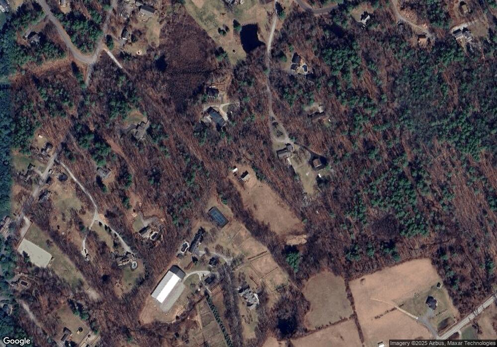
Map
Nearby Homes
- 40-40A Pine Hill Rd
- 77 Broad St
- 118 Broad St
- 45 Long Hill Rd
- 199 Pine Hill Rd
- 3 Wood Ln
- 7 Lovejoy Ln
- 95 Wright Rd
- 4-13 Woodmont Dr
- 11 Rideout Rd
- 91 Deacon Ln
- 334 Broad St
- 8 Pilgrim Cir
- 10 Pilgrim Cir
- 9-48-8 Ladd Ln
- 1 Ladd Ln
- 206 S Merrimack Rd
- 28 Bartemus Trail Unit U210
- 22 Cathedral Cir
- 76 Bartemus Trail Unit U231