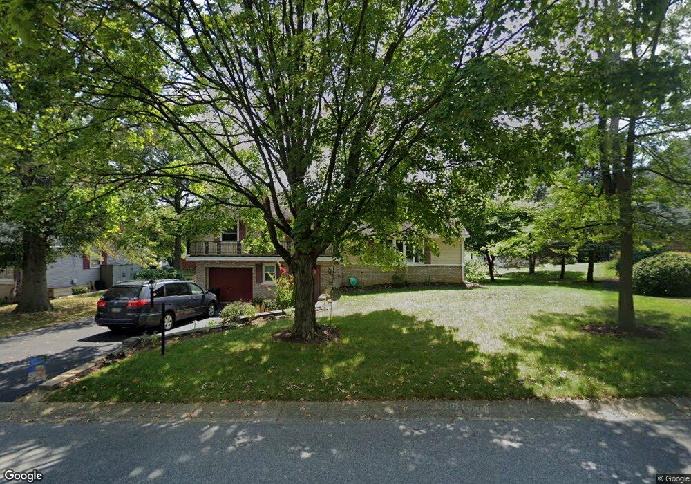
830 Darby Ln Lancaster, PA 17601
Oyster Point NeighborhoodEstimated Value: $335,859 - $365,000
3
Beds
2
Baths
1,328
Sq Ft
$263/Sq Ft
Est. Value
About This Home
This home is located at 830 Darby Ln, Lancaster, PA 17601 and is currently estimated at $349,215, approximately $262 per square foot. 830 Darby Ln is a home located in Lancaster County with nearby schools including Centerville Elementary School, Centerville Middle School, and Hempfield Senior High School.
Ownership History
Date
Name
Owned For
Owner Type
Purchase Details
Closed on
Aug 28, 1998
Sold by
Smith Nelson L and Smith Kathryn F
Bought by
Espenshade Keith L and Espenshade Linda J
Current Estimated Value
Home Financials for this Owner
Home Financials are based on the most recent Mortgage that was taken out on this home.
Original Mortgage
$118,400
Outstanding Balance
$25,292
Interest Rate
6.9%
Mortgage Type
FHA
Estimated Equity
$323,923
Create a Home Valuation Report for This Property
The Home Valuation Report is an in-depth analysis detailing your home's value as well as a comparison with similar homes in the area
Home Values in the Area
Average Home Value in this Area
Purchase History
| Date | Buyer | Sale Price | Title Company |
|---|---|---|---|
| Espenshade Keith L | $118,500 | -- |
Source: Public Records
Mortgage History
| Date | Status | Borrower | Loan Amount |
|---|---|---|---|
| Open | Espenshade Keith L | $118,400 |
Source: Public Records
Tax History Compared to Growth
Tax History
| Year | Tax Paid | Tax Assessment Tax Assessment Total Assessment is a certain percentage of the fair market value that is determined by local assessors to be the total taxable value of land and additions on the property. | Land | Improvement |
|---|---|---|---|---|
| 2025 | $3,518 | $162,800 | $49,700 | $113,100 |
| 2024 | $3,518 | $162,800 | $49,700 | $113,100 |
| 2023 | $3,353 | $162,800 | $49,700 | $113,100 |
| 2022 | $3,353 | $162,800 | $49,700 | $113,100 |
| 2021 | $3,300 | $162,800 | $49,700 | $113,100 |
| 2020 | $3,300 | $162,800 | $49,700 | $113,100 |
| 2019 | $3,244 | $162,800 | $49,700 | $113,100 |
| 2018 | $638 | $162,800 | $49,700 | $113,100 |
| 2017 | $3,978 | $158,000 | $36,300 | $121,700 |
| 2016 | $3,978 | $158,000 | $36,300 | $121,700 |
| 2015 | $799 | $158,000 | $36,300 | $121,700 |
| 2014 | $2,950 | $147,900 | $36,300 | $111,600 |
Source: Public Records
Map
Nearby Homes
- 880 Corvair Rd
- 695 Imperial Dr
- 2940 Marietta Ave
- 854 Centerville Rd
- 660 Lawrence Blvd Unit DEVONSHIRE
- 660 Lawrence Blvd Unit MAGNOLIA
- 660 Lawrence Blvd Unit ADDISON
- 660 Lawrence Blvd Unit LACHLAN
- 660 Lawrence Blvd Unit COVINGTON
- 660 Lawrence Blvd Unit ARCADIA
- 660 Lawrence Blvd Unit PARKER
- 916 Dorsea Rd
- Kipling Plan at Enclave at Independence Ridge
- Woodford Plan at Enclave at Independence Ridge
- Magnolia Plan at Enclave at Independence Ridge
- Sebastian Plan at Enclave at Independence Ridge
- Savannah Plan at Enclave at Independence Ridge
- Parker Plan at Enclave at Independence Ridge
- Nottingham Plan at Enclave at Independence Ridge
- Devonshire Plan at Enclave at Independence Ridge