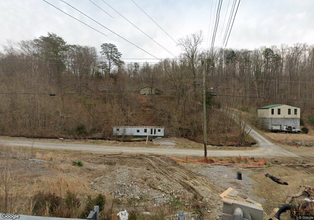
830 Maynardville Hwy Maynardville, TN 37807
Paulette NeighborhoodEstimated Value: $193,000 - $320,000
--
Bed
1
Bath
1,044
Sq Ft
$246/Sq Ft
Est. Value
About This Home
This home is located at 830 Maynardville Hwy, Maynardville, TN 37807 and is currently estimated at $257,137, approximately $246 per square foot. 830 Maynardville Hwy is a home located in Union County with nearby schools including Paulette Elementary School, Union County High School, and H Maynard Middle School.
Ownership History
Date
Name
Owned For
Owner Type
Purchase Details
Closed on
Apr 18, 1997
Sold by
William Jones
Bought by
Vandergriff Charles W
Current Estimated Value
Purchase Details
Closed on
Aug 20, 1994
Sold by
Booker M T
Bought by
Mike Miller Const Co
Purchase Details
Closed on
Sep 5, 1964
Bought by
Cabbage Daniel R and Cabbage Rowena
Create a Home Valuation Report for This Property
The Home Valuation Report is an in-depth analysis detailing your home's value as well as a comparison with similar homes in the area
Home Values in the Area
Average Home Value in this Area
Purchase History
| Date | Buyer | Sale Price | Title Company |
|---|---|---|---|
| Vandergriff Charles W | $41,000 | -- | |
| Vandergriff Charles W | $41,000 | -- | |
| Mike Miller Const Co | -- | -- | |
| Mike Miller Const Co | -- | -- | |
| Cabbage Daniel R | -- | -- | |
| Cabbage Daniel R | -- | -- |
Source: Public Records
Tax History Compared to Growth
Tax History
| Year | Tax Paid | Tax Assessment Tax Assessment Total Assessment is a certain percentage of the fair market value that is determined by local assessors to be the total taxable value of land and additions on the property. | Land | Improvement |
|---|---|---|---|---|
| 2024 | $929 | $48,875 | $23,050 | $25,825 |
| 2023 | $929 | $48,875 | $23,050 | $25,825 |
| 2022 | $777 | $48,875 | $23,050 | $25,825 |
| 2021 | $676 | $31,600 | $16,650 | $14,950 |
| 2020 | $676 | $31,600 | $16,650 | $14,950 |
| 2019 | $676 | $31,600 | $16,650 | $14,950 |
| 2018 | $676 | $31,600 | $16,650 | $14,950 |
| 2017 | $676 | $31,600 | $16,650 | $14,950 |
| 2016 | $720 | $33,200 | $19,850 | $13,350 |
| 2015 | $720 | $33,200 | $19,850 | $13,350 |
| 2014 | $605 | $33,197 | $0 | $0 |
Source: Public Records
Map
Nearby Homes
- 112 Dogwood St
- L-7 Williams Dr
- 323 Maynardville Hwy
- 213 Brock Rd
- 9211 Brock Rd
- 9210 Brock Rd
- 275 Dogwood Ln
- 9024 Welch Rd
- 254 Dogwood Ln
- 7725 Texas Valley Rd
- 215 Jamie St
- 211 Jamie St
- 9502 Old Loyston Rd
- 375 Russell Dr
- 250 Burkhart Rd
- 6901 Texas Valley Rd
- 0 Satterfield Rd Unit 1313221
- 7516 Wood Rd
- 6814 Texas Valley Rd
- 8210 Wood Rd
- 850 Maynardville Hwy
- 914 Maynardville Hwy
- 837 Maynardville Hwy
- 843 Maynardville Hwy
- 843 Maynardville Hwy Unit 843
- 202 Pine Dr
- 214 Pine Dr
- 220 Pine Dr
- 120 Pine Dr
- 778 Maynardville Hwy
- 117 Elm Rd
- 117 Elm Dr
- 207 Pine Dr
- 233 Pine Dr
- 809 Maynardville Hwy
- 788 Maynardville Hwy
- 210 Beech Dr
- 107 Elm Dr
- 772 Maynardville Hwy
- 204 Beech Dr