830 Route 148 Killingworth, CT 06419
Estimated Value: $1,036,187 - $1,313,000
4
Beds
4
Baths
4,074
Sq Ft
$285/Sq Ft
Est. Value
About This Home
This home is located at 830 Route 148, Killingworth, CT 06419 and is currently estimated at $1,162,547, approximately $285 per square foot. 830 Route 148 is a home located in Middlesex County with nearby schools including Haddam-Killingworth High School.
Ownership History
Date
Name
Owned For
Owner Type
Purchase Details
Closed on
May 5, 2022
Sold by
Swierad Laurel
Bought by
Stark Anne L and Stark Daniel E
Current Estimated Value
Purchase Details
Closed on
Oct 1, 1992
Sold by
Parsons Steven W
Bought by
Swierad Scott W and Swierad Laurel L
Create a Home Valuation Report for This Property
The Home Valuation Report is an in-depth analysis detailing your home's value as well as a comparison with similar homes in the area
Home Values in the Area
Average Home Value in this Area
Purchase History
| Date | Buyer | Sale Price | Title Company |
|---|---|---|---|
| Stark Anne L | $925,000 | None Available | |
| Swierad Scott W | $60,000 | -- |
Source: Public Records
Mortgage History
| Date | Status | Borrower | Loan Amount |
|---|---|---|---|
| Previous Owner | Swierad Scott W | $215,000 | |
| Previous Owner | Swierad Scott W | $200,000 | |
| Previous Owner | Swierad Scott W | $100,000 | |
| Previous Owner | Swierad Scott W | $124,000 |
Source: Public Records
Tax History Compared to Growth
Tax History
| Year | Tax Paid | Tax Assessment Tax Assessment Total Assessment is a certain percentage of the fair market value that is determined by local assessors to be the total taxable value of land and additions on the property. | Land | Improvement |
|---|---|---|---|---|
| 2025 | $12,853 | $490,210 | $79,380 | $410,830 |
| 2024 | $11,873 | $490,210 | $79,380 | $410,830 |
| 2023 | $11,505 | $490,210 | $79,380 | $410,830 |
| 2022 | $11,383 | $490,210 | $79,380 | $410,830 |
| 2021 | $11,167 | $417,920 | $82,900 | $335,020 |
| 2020 | $3,879 | $145,170 | $82,910 | $62,260 |
| 2019 | $7,023 | $255,660 | $82,910 | $172,750 |
| 2018 | $7,023 | $255,660 | $82,910 | $172,750 |
| 2017 | $7,023 | $255,660 | $82,910 | $172,750 |
| 2016 | $7,288 | $281,510 | $124,350 | $157,160 |
| 2015 | $7,102 | $281,510 | $124,350 | $157,160 |
| 2014 | $6,905 | $281,510 | $124,350 | $157,160 |
Source: Public Records
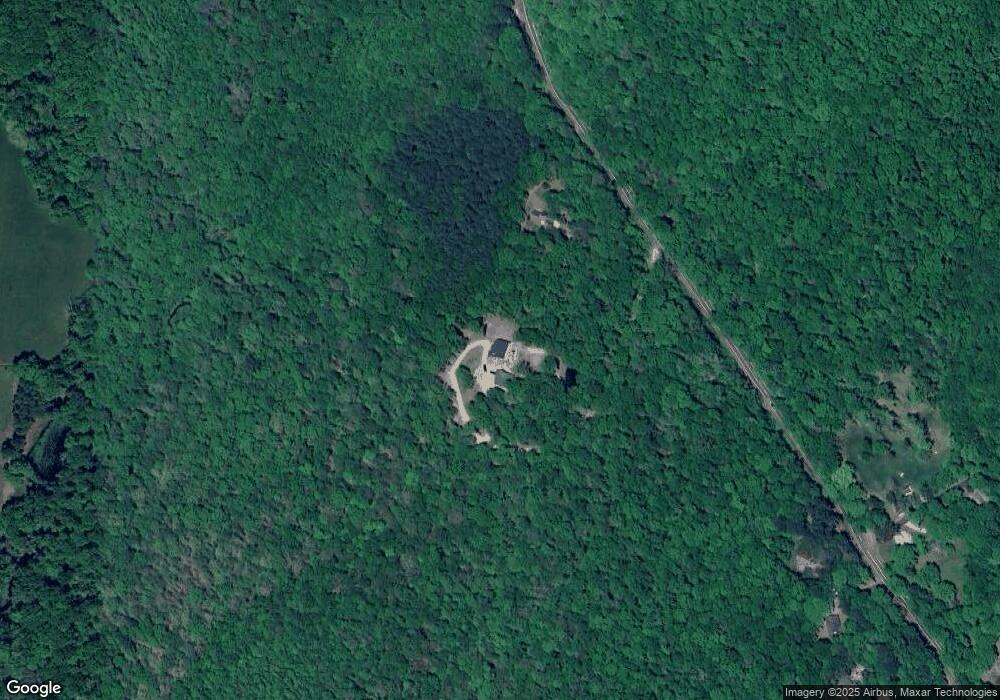
Map
Nearby Homes
- 25 Route 79
- 2175 Durham Rd
- 193 Emanuel Church Rd
- 0 Little City Rd
- 206 Little City Rd
- 30 Renees Way
- 12 Jackson Rd
- 593 Route 148
- 590 Route 148
- 34 Skunk Misery Rd
- 7 Northview Dr
- 204 Old Blue Hills Rd
- 42 Pine Ledge Trail
- Lots 1 & 2 Jackson Rd
- 4 Jans Way
- 45 Summersweet Dr
- 76 Higganum Rd
- 3 Copley Rd
- 7 Polpis Ln
- 19 Polpis Ln
- 834 Route 148
- 806 Route 148
- 806 Route 148
- 804 Route 148
- 3 Bunker Hill Rd
- 796 Route 148
- 22 Bunker Hill Rd
- 49 Tibbals Bridge Rd
- 855 Route 148
- 50 Tibbals Bridge Rd
- 790 Route 148
- 43 Tibbals Bridge Rd
- 786 Route 148
- 44 Tibbals Bridge Rd
- 851 Route 148
- 37 Tibbals Bridge Rd
- 784 Route 148
- 34 Tibbals Bridge Rd
- 12 Skyline Dr
- 31 Tibbals Bridge Rd