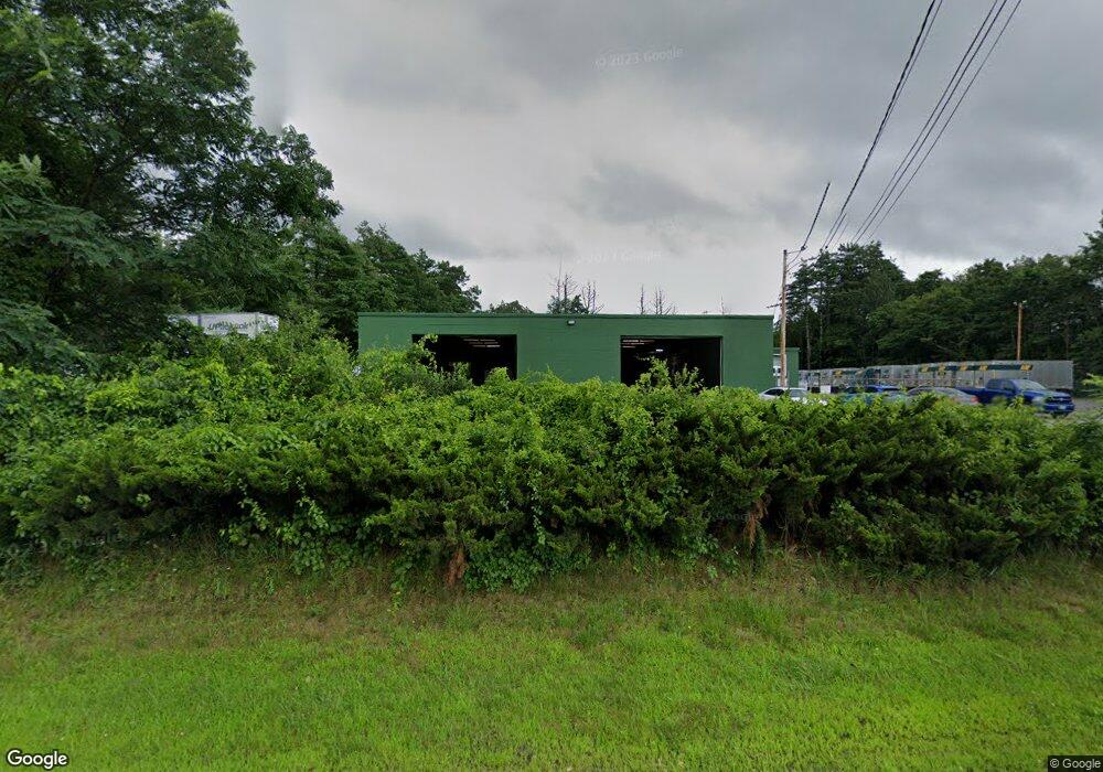
830 Us Route 5 Dummerston, VT 05301
Estimated Value: $832,358
Studio
--
Bath
8,860
Sq Ft
$94/Sq Ft
Est. Value
About This Home
This home is located at 830 Us Route 5, Dummerston, VT 05301 and is currently estimated at $832,358, approximately $93 per square foot. 830 Us Route 5 is a home with nearby schools including Dummerston School, Brattleboro Union High School, and Oak Meadow School.
Ownership History
Date
Name
Owned For
Owner Type
Purchase Details
Closed on
May 31, 2023
Sold by
687 Putney Road Llc
Bought by
Arcbest Property Management Llc
Current Estimated Value
Purchase Details
Closed on
Apr 29, 2021
Sold by
Renaud Gravel Inc
Purchase Details
Closed on
Aug 1, 2019
Sold by
Renaud Gravel Inc
Purchase Details
Closed on
Oct 28, 2010
Sold by
Bast Investment Company Llc
Bought by
Renaud Gravel Inc
Create a Home Valuation Report for This Property
The Home Valuation Report is an in-depth analysis detailing your home's value as well as a comparison with similar homes in the area
Home Values in the Area
Average Home Value in this Area
Purchase History
| Date | Buyer | Sale Price | Title Company |
|---|---|---|---|
| Arcbest Property Management Llc | $735,000 | -- | |
| Arcbest Property Management Llc | $735,000 | -- | |
| Arcbest Property Management Llc | $735,000 | -- | |
| -- | $490,000 | -- | |
| -- | $490,000 | -- | |
| -- | $490,000 | -- | |
| -- | $1,666,227 | -- | |
| -- | $333,773 | -- | |
| -- | $1,666,227 | -- | |
| Town Of Dummerston | -- | -- | |
| Renaud Gravel Inc | $375,000 | -- | |
| Renaud Gravel Inc | $375,000 | -- |
Source: Public Records
Tax History
| Year | Tax Paid | Tax Assessment Tax Assessment Total Assessment is a certain percentage of the fair market value that is determined by local assessors to be the total taxable value of land and additions on the property. | Land | Improvement |
|---|---|---|---|---|
| 2024 | $8,299 | $401,500 | $171,000 | $230,500 |
| 2023 | $7,074 | $401,500 | $171,000 | $230,500 |
| 2022 | $7,098 | $401,500 | $171,000 | $230,500 |
| 2021 | $7,436 | $401,500 | $171,000 | $230,500 |
| 2020 | $9,607 | $494,300 | $120,100 | $374,200 |
| 2019 | $13,032 | $694,500 | $320,300 | $374,200 |
| 2018 | $12,868 | $694,500 | $320,300 | $374,200 |
| 2017 | -- | $694,500 | $320,300 | $374,200 |
Source: Public Records
Map
Nearby Homes
- 30 Farr Rd
- 0 Farr Rd Unit Map 13B Block A Lot
- 000 Mckenna Way Unit 2
- 932 Middle Rd
- 1123 River Rd
- 174 Pond Brook Rd
- 821 Route 9
- 0 Stow Dr Unit 4929741
- 72 Landmark Hill Dr
- 135 Fred Houghton Rd
- 37 Fred Houghton Rd
- 106 Main St Unit 5
- 214 Putney Rd
- 183 Bear Hill Rd
- 24 Hunt Rd
- 137 Pleasant Valley Rd
- 24 Laurel St
- 69-71 Elliot St
- 128 High St
- 176 High St
- 830 U S 5
- 853 Us Route 5
- 807 Us Route 5
- 795 Us Route 5
- 775 Us Route 5
- 896 Us Route 5
- 766 Us Route 5
- 766 Us Route 5
- 766 Us Route 5
- 885 Us Route 5
- 715 Us Route 5
- 907 Us Route 5
- 715 U S 5
- 912 Us Route 5
- 73 Poplar Commons
- 59 Poplar Commons
- 59 Poplar Commons
- 59 Poplar Commons
- 41 Poplar Commons
- 924 Us Route 5
Your Personal Tour Guide
Ask me questions while you tour the home.