830 White Point Rd Kinsale, VA 22488
Estimated Value: $1,095,000 - $1,552,557
5
Beds
6
Baths
6,527
Sq Ft
$193/Sq Ft
Est. Value
About This Home
This home is located at 830 White Point Rd, Kinsale, VA 22488 and is currently estimated at $1,261,852, approximately $193 per square foot. 830 White Point Rd is a home located in Westmoreland County with nearby schools including Montross Middle School and Westmoreland High School.
Ownership History
Date
Name
Owned For
Owner Type
Purchase Details
Closed on
Jul 16, 2015
Sold by
Hymes Amy B and Hymes Charles F
Bought by
Hymes Amy B
Current Estimated Value
Home Financials for this Owner
Home Financials are based on the most recent Mortgage that was taken out on this home.
Original Mortgage
$350,500
Interest Rate
3.87%
Mortgage Type
New Conventional
Create a Home Valuation Report for This Property
The Home Valuation Report is an in-depth analysis detailing your home's value as well as a comparison with similar homes in the area
Home Values in the Area
Average Home Value in this Area
Purchase History
| Date | Buyer | Sale Price | Title Company |
|---|---|---|---|
| Hymes Amy B | -- | Attorney |
Source: Public Records
Mortgage History
| Date | Status | Borrower | Loan Amount |
|---|---|---|---|
| Previous Owner | Hymes Amy B | $350,500 |
Source: Public Records
Tax History Compared to Growth
Tax History
| Year | Tax Paid | Tax Assessment Tax Assessment Total Assessment is a certain percentage of the fair market value that is determined by local assessors to be the total taxable value of land and additions on the property. | Land | Improvement |
|---|---|---|---|---|
| 2024 | $8,964 | $1,318,200 | $291,000 | $1,027,200 |
| 2023 | $8,173 | $1,318,200 | $291,000 | $1,027,200 |
| 2022 | $8,173 | $1,318,200 | $291,000 | $1,027,200 |
| 2021 | $7,997 | $1,052,200 | $280,800 | $771,400 |
| 2020 | $7,997 | $1,052,200 | $280,800 | $771,400 |
| 2019 | $6,839 | $1,052,200 | $280,800 | $771,400 |
| 2018 | $6,418 | $1,052,200 | $280,800 | $771,400 |
| 2017 | -- | $1,052,200 | $280,800 | $771,400 |
| 2016 | $6,313 | $1,052,200 | $280,800 | $771,400 |
| 2015 | -- | $1,074,400 | $280,800 | $793,600 |
| 2014 | -- | $0 | $0 | $0 |
| 2013 | -- | $1,074,400 | $280,800 | $793,600 |
Source: Public Records
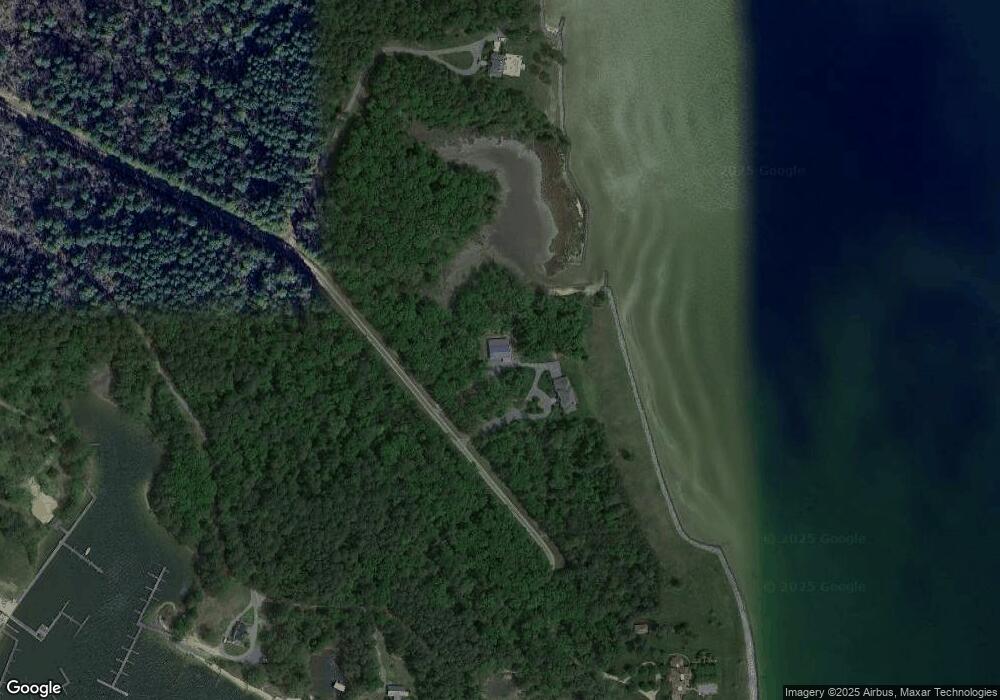
Map
Nearby Homes
- 36 Washington Cir
- Lot #19 Shore Ln
- 437 Plainview Rd
- 21 Cross St
- 148 Windsong Dr
- 184 Windsong Dr
- 00 Halbrook Ln
- 0 Riverview Dr
- 556 Springfield Beach Rd
- 535 Courtney Ln
- 358 Barn Point Rd
- Lot 4A Tyson Ln
- 2889 Harryhogan Rd
- lot 10 Bancton Rd
- 0 Shingle Hill Unit VAWE2010132
- 2604 Skipjack Rd
- 284 Palmer Dr
- 0 Mount Pleasant Unit 2318363
- 0 Mount Pleasant Unit VAWE2005130
- 1086 Kinsale Rd
- 826 Horn Point
- 1006 White Point Rd
- 170 Allen Point Ln
- 1348 White Point Rd
- 563 Allen Point Ln
- 700 White Point Rd
- 1021 White Point Rd
- 1019 White Point Rd
- 604 Wilson Dr
- 621 Wilson Dr
- 1281 White Point Rd
- 611 Wilson Dr
- 443 Wilson Dr
- 447 Wilson Dr
- 562 Wilson Dr
- 441 Wilson Dr
- 482 Wilson Dr
- 1221 White Point Rd
- 624 Murphy Mill Ln