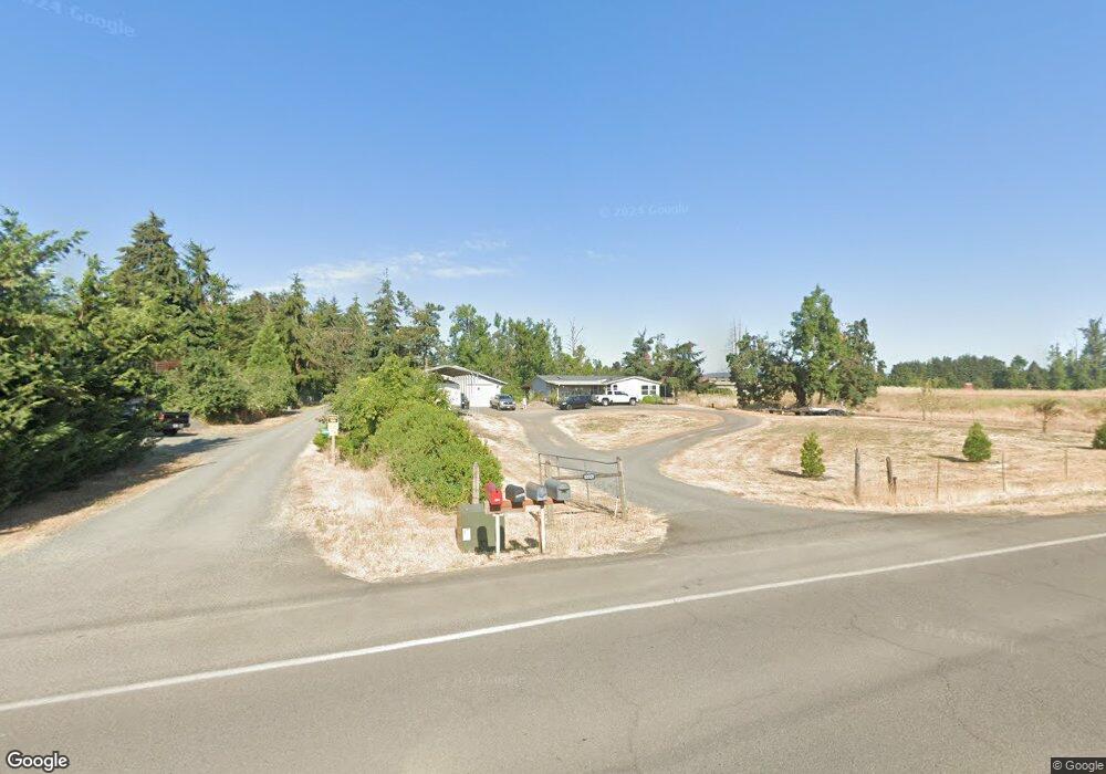
83029 Dale Kuni Rd Creswell, OR 97426
Estimated Value: $313,000 - $537,000
3
Beds
2
Baths
1,864
Sq Ft
$231/Sq Ft
Est. Value
About This Home
This home is located at 83029 Dale Kuni Rd, Creswell, OR 97426 and is currently estimated at $431,000, approximately $231 per square foot. 83029 Dale Kuni Rd is a home located in Lane County with nearby schools including Creslane Elementary School, Creswell Middle School, and Creswell High School.
Ownership History
Date
Name
Owned For
Owner Type
Purchase Details
Closed on
Aug 31, 2005
Sold by
Dowdy Ronald Lloyd and Dowdy Joyce Ann
Bought by
Dowdy Ronald L and Dowdy Joyce
Current Estimated Value
Purchase Details
Closed on
Jan 13, 2004
Sold by
Gries Gerald L
Bought by
Smith Matthew John and Smith Kellie A
Home Financials for this Owner
Home Financials are based on the most recent Mortgage that was taken out on this home.
Original Mortgage
$187,150
Outstanding Balance
$86,601
Interest Rate
5.86%
Mortgage Type
Purchase Money Mortgage
Estimated Equity
$344,399
Create a Home Valuation Report for This Property
The Home Valuation Report is an in-depth analysis detailing your home's value as well as a comparison with similar homes in the area
Home Values in the Area
Average Home Value in this Area
Purchase History
| Date | Buyer | Sale Price | Title Company |
|---|---|---|---|
| Dowdy Ronald L | -- | -- | |
| Smith Matthew John | $197,000 | Western Pioneer Title Co |
Source: Public Records
Mortgage History
| Date | Status | Borrower | Loan Amount |
|---|---|---|---|
| Open | Smith Matthew John | $187,150 |
Source: Public Records
Tax History Compared to Growth
Tax History
| Year | Tax Paid | Tax Assessment Tax Assessment Total Assessment is a certain percentage of the fair market value that is determined by local assessors to be the total taxable value of land and additions on the property. | Land | Improvement |
|---|---|---|---|---|
| 2025 | $3,493 | $254,194 | -- | -- |
| 2024 | $2,462 | $246,791 | -- | -- |
| 2023 | $2,462 | $239,603 | $0 | $0 |
| 2022 | $2,740 | $232,625 | $0 | $0 |
| 2021 | $2,644 | $225,850 | $0 | $0 |
| 2020 | $2,616 | $219,272 | $0 | $0 |
| 2019 | $2,562 | $212,886 | $0 | $0 |
| 2018 | $2,535 | $200,666 | $0 | $0 |
| 2017 | $2,435 | $200,666 | $0 | $0 |
| 2016 | $2,481 | $194,821 | $0 | $0 |
| 2015 | $2,400 | $189,147 | $0 | $0 |
| 2014 | $2,389 | $183,638 | $0 | $0 |
Source: Public Records
Map
Nearby Homes
- 1765 Trevino Rd
- 316 Sunday Dr
- 336 Sunday Dr
- 375 Sunday Dr
- 370 Magnolia Dr
- 0 River Dr
- 491 Ironwood Loop
- 685 St Andrews Loop
- 700 N Mill St Unit 109
- 689 Blue Jay Loop
- 692 N 1st St
- 156 N 1st St
- 368 Hillegas Ave
- 589 Mary Neal Ln
- 0 Holbrook Ln Unit 339588620
- 1 Queens Ave Unit 1
- 521 S 7th St
- 645 Boulder Loop
- 33465 Irish Ln
- 460 Meadow Ln
- 105 Hagens Ct Unit 13
- 105 Hagens Ct
- 83036 Dale Kuni Rd
- 91 Hagens Ct Unit 11
- 91 Hagens Ct
- 77 Hagens Ct
- 77 Hagens Ct Unit 12
- 133 Hagens Ct
- 119 Hagens Ct
- 83026 Dale Kuni Rd
- 1705 Trevino Rd Unit 6
- 82 Hagens Ct Unit 16
- 83060 Dale Kuni Rd
- 94 Hagens Ct Unit 17
- 94 Hagens Ct
- 66 Hagens Ct
- 108 Hagens Ct
- 1725 Trevino Rd
- 122 Hagens Ct
- 83020 Dale Kuni Rd