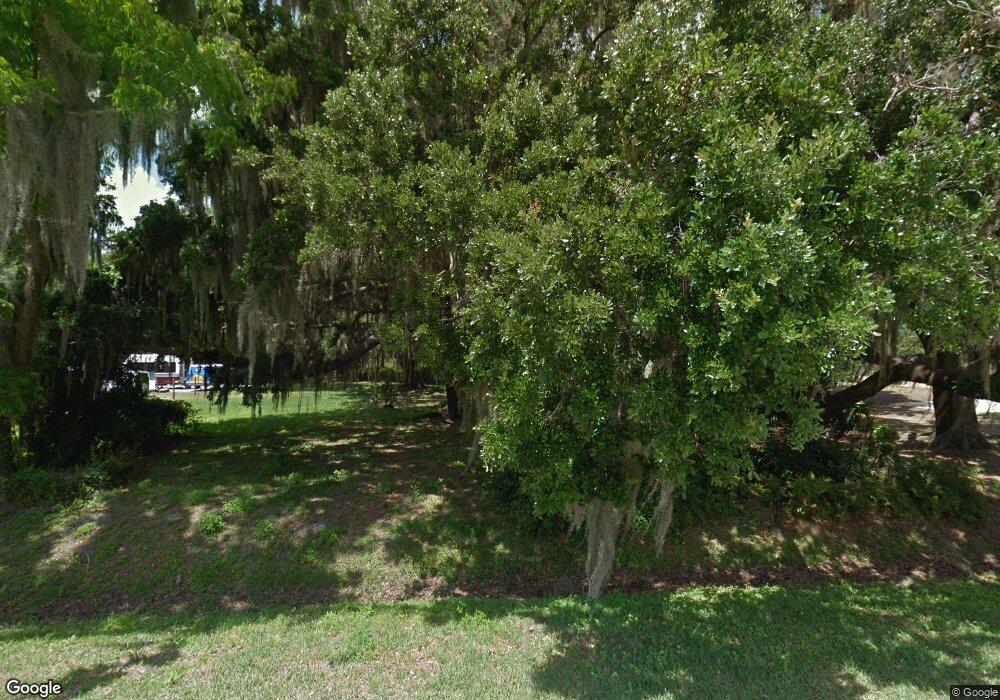
8305 121st Ave E Parrish, FL 34219
Estimated Value: $470,000 - $539,000
Studio
2
Baths
2,270
Sq Ft
$225/Sq Ft
Est. Value
About This Home
This home is located at 8305 121st Ave E, Parrish, FL 34219 and is currently estimated at $511,051, approximately $225 per square foot. 8305 121st Ave E is a home located in Manatee County with nearby schools including Barbara A. Harvey Elementary School, Buffalo Creek Middle School, and Parrish Community High School.
Ownership History
Date
Name
Owned For
Owner Type
Purchase Details
Closed on
Jun 20, 2022
Sold by
Giles Jr Joe W and Giles Teresa
Bought by
Giles Joe W and Giles Joe W
Current Estimated Value
Purchase Details
Closed on
Sep 10, 2015
Sold by
Lang Robert G
Bought by
Giles Joe W and Giles Teresa
Purchase Details
Closed on
Jan 24, 2005
Sold by
Lang Robert G
Bought by
Dulaney Richard Shelton
Purchase Details
Closed on
Feb 5, 2004
Sold by
Robbins Robert and Brown-Robbins Keri Shannon
Bought by
Lang Robert G
Purchase Details
Closed on
Jul 26, 2002
Sold by
Whidden Joel Don and Whidden Joel Don
Bought by
Robbins Robert and Robbins 5Eri Shannon Brown
Home Financials for this Owner
Home Financials are based on the most recent Mortgage that was taken out on this home.
Original Mortgage
$24,400
Interest Rate
6.67%
Create a Home Valuation Report for This Property
The Home Valuation Report is an in-depth analysis detailing your home's value as well as a comparison with similar homes in the area
Home Values in the Area
Average Home Value in this Area
Purchase History
| Date | Buyer | Sale Price | Title Company |
|---|---|---|---|
| Giles Joe W | -- | Norton Hammersley Lopez & Skok | |
| Giles Joe W | $37,900 | Barnes Walker Title Inc | |
| Dulaney Richard Shelton | -- | -- | |
| Lang Robert G | $34,000 | -- | |
| Robbins Robert | $30,500 | -- |
Source: Public Records
Mortgage History
| Date | Status | Borrower | Loan Amount |
|---|---|---|---|
| Previous Owner | Robbins Robert | $24,400 |
Source: Public Records
Tax History
| Year | Tax Paid | Tax Assessment Tax Assessment Total Assessment is a certain percentage of the fair market value that is determined by local assessors to be the total taxable value of land and additions on the property. | Land | Improvement |
|---|---|---|---|---|
| 2025 | $3,510 | $290,138 | -- | -- |
| 2023 | $3,510 | $271,578 | $0 | $0 |
| 2022 | $3,410 | $263,668 | $0 | $0 |
| 2021 | $3,271 | $255,988 | $0 | $0 |
| 2020 | $3,269 | $249,406 | $0 | $0 |
| 2019 | $3,215 | $243,799 | $0 | $0 |
| 2018 | $3,183 | $239,253 | $0 | $0 |
| 2017 | $2,948 | $234,332 | $0 | $0 |
| 2016 | $605 | $30,000 | $0 | $0 |
Source: Public Records
Map
Nearby Homes
- 12346 U S 301
- 11955 Richmond Trail
- 11963 Richmond Trail
- 11892 Richmond Trail
- 11848 Catawba Cove
- 11869 Richmond Trail
- 11858 Richmond Trail
- 8514 Arrow Creek Dr
- 11854 Richmond Trail
- Windsor 3.0 RF Plan at Riverfield
- Windsor 3.0 Plan at Longmeadow
- Southhampton 3.0 RF Plan at Riverfield
- Brighton 3.0 RF Plan at Riverfield
- Southampton 3.0 Plan at Longmeadow
- Brighton 3.0 Plan at Longmeadow
- Northwood 3.0 Plan at Longmeadow
- Margate 3.0 Plan at Longmeadow
- Northwood 3.0 RF Plan at Riverfield
- 11834 Richmond Trail
- 11809 Catawba Cove
- 8309 121st Ave E
- 8217 121st Ave E
- 8220 121st Ave E
- 8213 121st Ave E
- 8214 121st Ave E
- 12060 82nd St E
- 8207 121st Ave E
- 12050 82nd St E
- 12070 82nd St E
- 12350 Us Highway 301 N
- 12360 Us Highway 301 N
- 12065 82nd St E
- 8120 121st Ave E
- 12012 82nd St E
- 8105 121st Ave E
- 12049 82nd St E
- 12355 Us Highway 301 N
- 12019 82nd St E
- 8101 121st Ave E
