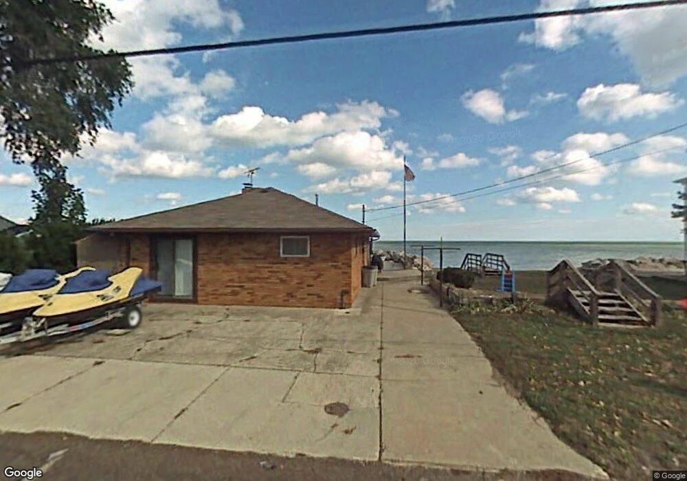
8305 W Division St Oak Harbor, OH 43449
Estimated Value: $226,647 - $326,000
3
Beds
1
Bath
960
Sq Ft
$295/Sq Ft
Est. Value
About This Home
This home is located at 8305 W Division St, Oak Harbor, OH 43449 and is currently estimated at $283,162, approximately $294 per square foot. 8305 W Division St is a home located in Ottawa County with nearby schools including Oak Harbor High School.
Ownership History
Date
Name
Owned For
Owner Type
Purchase Details
Closed on
Aug 11, 2009
Sold by
Donovan Michael W and Donovan Juliette J
Bought by
Donovan Michael W and Donovan Juliette J
Current Estimated Value
Home Financials for this Owner
Home Financials are based on the most recent Mortgage that was taken out on this home.
Original Mortgage
$150,000
Outstanding Balance
$98,199
Interest Rate
5.29%
Mortgage Type
New Conventional
Estimated Equity
$184,963
Purchase Details
Closed on
Aug 25, 2003
Sold by
Brock Geraldine B
Bought by
Donovan Michael W and Surgeson David H
Home Financials for this Owner
Home Financials are based on the most recent Mortgage that was taken out on this home.
Original Mortgage
$132,000
Interest Rate
5.69%
Mortgage Type
Balloon
Purchase Details
Closed on
Jan 3, 1992
Sold by
Brock Paul V and Brock Geraldine
Bought by
Brock Geraldine and Brock Timothy J
Create a Home Valuation Report for This Property
The Home Valuation Report is an in-depth analysis detailing your home's value as well as a comparison with similar homes in the area
Purchase History
| Date | Buyer | Sale Price | Title Company |
|---|---|---|---|
| Donovan Michael W | -- | Attorney | |
| Donovan Michael W | $165,000 | First Capital Title | |
| Brock Geraldine | -- | -- |
Source: Public Records
Mortgage History
| Date | Status | Borrower | Loan Amount |
|---|---|---|---|
| Open | Donovan Michael W | $150,000 | |
| Closed | Donovan Michael W | $132,000 |
Source: Public Records
Tax History
| Year | Tax Paid | Tax Assessment Tax Assessment Total Assessment is a certain percentage of the fair market value that is determined by local assessors to be the total taxable value of land and additions on the property. | Land | Improvement |
|---|---|---|---|---|
| 2024 | $2,595 | $68,019 | $38,101 | $29,918 |
| 2023 | $2,616 | $63,784 | $38,101 | $25,683 |
| 2022 | $2,770 | $63,784 | $38,101 | $25,683 |
| 2021 | $2,784 | $63,780 | $38,100 | $25,680 |
| 2020 | $2,506 | $56,840 | $36,290 | $20,550 |
| 2019 | $2,430 | $56,840 | $36,290 | $20,550 |
| 2018 | $2,232 | $56,840 | $36,290 | $20,550 |
| 2017 | $1,887 | $55,460 | $36,290 | $19,170 |
| 2016 | $1,854 | $55,460 | $36,290 | $19,170 |
| 2015 | $1,872 | $55,460 | $36,290 | $19,170 |
| 2014 | $952 | $55,460 | $36,290 | $19,170 |
| 2013 | $955 | $55,460 | $36,290 | $19,170 |
Source: Public Records
Map
Nearby Homes
- 7911 W Sand Beach Rd
- 6280 N Harris Harbor Dr
- 8939 W Canada Goose Ct
- 7960 Sand Beach Rd
- 9881 W Locust Point Rd
- 6991 W Lakeshore Dr
- 11101 W Genzman Rd
- 960 N Atwater Rd
- 913 N Rymers Rd
- 5834 W Fritchie Rd
- 141 N Wexford Dr E
- 3500 W Willow Beach Rd
- 3500 W Willow Beach Rd Unit 14
- 121 Bank St
- 318 Country Meadows Dr
- 8845 W State Route 163
- 435 Burdine Dr
- 210 S Gordon Dr
- 265 S Meachem Rd
- 265 S Meachem Rd Unit 62
- 8295 W Division St
- 8317 W Division St
- 8329 W Division St
- 8290 W Division St
- 6334 N 6th St
- 6369 N Fifth (5th) St
- 6369 5th St
- 6369 N 5th St
- 8335 W Division St
- 8283 W Division St
- 6353 5th St
- 8271 W Division St
- 8779 W Sand Beach Rd
- 8703 W Sand Beach Rd
- 6327 N 6th St
- 8265 W Division St
- 8353 W Division St
- 6337 5th St
- 6370 N 5th St
- 6370 5th St
Your Personal Tour Guide
Ask me questions while you tour the home.