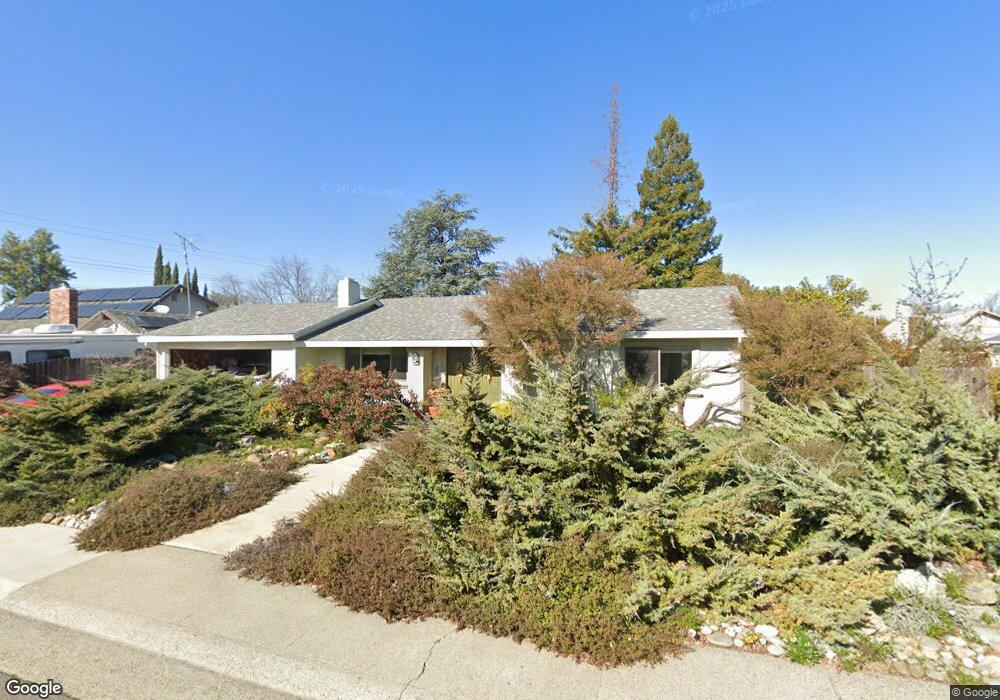
8309 Burnside Ct Citrus Heights, CA 95610
Estimated Value: $408,000 - $463,033
3
Beds
2
Baths
1,247
Sq Ft
$351/Sq Ft
Est. Value
About This Home
This home is located at 8309 Burnside Ct, Citrus Heights, CA 95610 and is currently estimated at $437,508, approximately $350 per square foot. 8309 Burnside Ct is a home located in Sacramento County with nearby schools including Oakview Community Elementary School, Louis Pasteur Fundamental Middle School, and Casa Roble Fundamental High School.
Ownership History
Date
Name
Owned For
Owner Type
Purchase Details
Closed on
Feb 13, 1998
Sold by
Schaad Carla Elenore and Schaad Carla
Bought by
Thaden Michael F and Bugenig Thaden Carla E
Current Estimated Value
Home Financials for this Owner
Home Financials are based on the most recent Mortgage that was taken out on this home.
Original Mortgage
$72,000
Interest Rate
6.97%
Purchase Details
Closed on
Oct 14, 1994
Sold by
Schaad Allen Leroy and Schaad Carla Elenore
Bought by
Schaad Carla Elenore
Create a Home Valuation Report for This Property
The Home Valuation Report is an in-depth analysis detailing your home's value as well as a comparison with similar homes in the area
Home Values in the Area
Average Home Value in this Area
Purchase History
| Date | Buyer | Sale Price | Title Company |
|---|---|---|---|
| Thaden Michael F | -- | Commonwealth Land Title Co | |
| Schaad Carla Elenore | -- | -- |
Source: Public Records
Mortgage History
| Date | Status | Borrower | Loan Amount |
|---|---|---|---|
| Closed | Thaden Michael F | $72,000 |
Source: Public Records
Tax History Compared to Growth
Tax History
| Year | Tax Paid | Tax Assessment Tax Assessment Total Assessment is a certain percentage of the fair market value that is determined by local assessors to be the total taxable value of land and additions on the property. | Land | Improvement |
|---|---|---|---|---|
| 2025 | $844 | $76,521 | $14,823 | $61,698 |
| 2024 | $844 | $75,022 | $14,533 | $60,489 |
| 2023 | $821 | $73,552 | $14,249 | $59,303 |
| 2022 | $816 | $72,111 | $13,970 | $58,141 |
| 2021 | $801 | $70,698 | $13,697 | $57,001 |
| 2020 | $785 | $69,974 | $13,557 | $56,417 |
| 2019 | $769 | $68,603 | $13,292 | $55,311 |
| 2018 | $758 | $67,262 | $13,034 | $54,228 |
| 2017 | $750 | $65,944 | $12,779 | $53,165 |
| 2016 | $700 | $64,652 | $12,529 | $52,123 |
| 2015 | $687 | $63,682 | $12,341 | $51,341 |
| 2014 | $672 | $62,436 | $12,100 | $50,336 |
Source: Public Records
Map
Nearby Homes
- 7156 Melva St
- 8230 Streng Ave
- 8429 Menke Way
- 8311 Juglans Dr
- 6929 Lyonia Way
- 7561 Creekridge Ln
- 8205 Lash Larue Ln
- 8437 Cortadera Dr
- 7517 Quail Vista Ln
- 7001 Checkerbloom Way
- 7121 Almond Ave
- 7616 Wooddale Way
- 8572 Menke Way
- 8291 Central Ave
- 7520 Pheasant Walk Ln
- 8127 Heritage Meadow Ln
- 7720 Claypool Way
- 8057 Poulson St
- 8052 Cammeray Dr
- 8309 Gordian Way
- 8305 Burnside Ct
- 8326 Streng Ave
- 7000 Escallonia Dr
- 8316 Streng Ave
- 7004 Escallonia Dr
- 8301 Burnside Ct
- 8308 Burnside Ct
- 6998 Escallonia Dr
- 7008 Escallonia Dr
- 8312 Streng Ave
- 8300 Burnside Ct
- 6996 Escallonia Dr
- 7073 Kingsmill Way
- 7081 Kingsmill Way
- 6994 Escallonia Dr
- 8321 Streng Ave
- 7085 Kingsmill Way
- 8317 Streng Ave
- 7069 Kingsmill Way
- 8325 Streng Ave