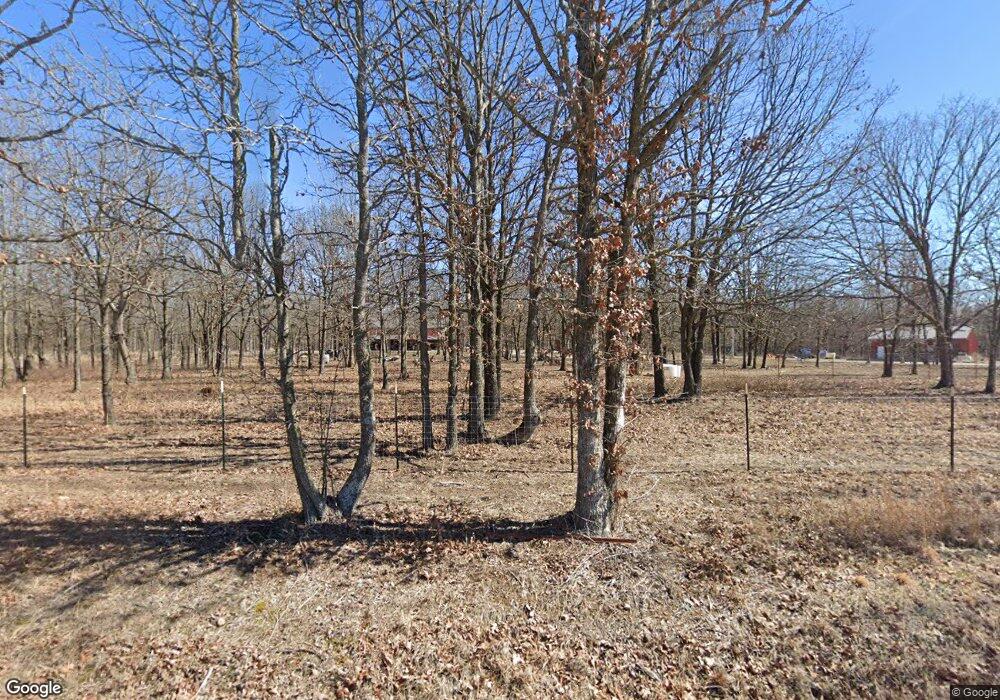
8309 Nighthawk Rd Neosho, MO 64850
Estimated Value: $269,000 - $1,130,000
Studio
--
Bath
2,500
Sq Ft
$272/Sq Ft
Est. Value
About This Home
This home is located at 8309 Nighthawk Rd, Neosho, MO 64850 and is currently estimated at $680,995, approximately $272 per square foot. 8309 Nighthawk Rd is a home with nearby schools including Neosho High School.
Ownership History
Date
Name
Owned For
Owner Type
Purchase Details
Closed on
Apr 28, 2022
Sold by
Johnson Ronald G and Johnson Joan E
Bought by
Wolford Wesley Owen
Current Estimated Value
Home Financials for this Owner
Home Financials are based on the most recent Mortgage that was taken out on this home.
Original Mortgage
$152,247
Outstanding Balance
$143,168
Interest Rate
4.67%
Mortgage Type
New Conventional
Estimated Equity
$537,827
Purchase Details
Closed on
Apr 7, 2021
Sold by
Lea Smith Linda and Lea James L
Bought by
Swem Daniel S and Swem Lashay D
Home Financials for this Owner
Home Financials are based on the most recent Mortgage that was taken out on this home.
Original Mortgage
$137,000
Interest Rate
2.9%
Mortgage Type
New Conventional
Create a Home Valuation Report for This Property
The Home Valuation Report is an in-depth analysis detailing your home's value as well as a comparison with similar homes in the area
Purchase History
| Date | Buyer | Sale Price | Title Company |
|---|---|---|---|
| Wolford Wesley Owen | -- | None Listed On Document | |
| Swem Daniel S | $182,210 | None Listed On Document | |
| Swem Daniel S | -- | None Listed On Document |
Source: Public Records
Mortgage History
| Date | Status | Borrower | Loan Amount |
|---|---|---|---|
| Open | Wolford Wesley Owen | $152,247 | |
| Previous Owner | Swem Daniel S | $137,000 | |
| Closed | Swem Daniel S | $137,000 |
Source: Public Records
Tax History
| Year | Tax Paid | Tax Assessment Tax Assessment Total Assessment is a certain percentage of the fair market value that is determined by local assessors to be the total taxable value of land and additions on the property. | Land | Improvement |
|---|---|---|---|---|
| 2024 | $3,610 | $66,950 | -- | -- |
| 2023 | $3,610 | $66,950 | $2,526 | $64,424 |
| 2022 | $3,610 | $5,220 | -- | -- |
| 2021 | $51 | $940 | $0 | $0 |
| 2020 | $50 | $940 | $0 | $0 |
| 2019 | $46 | $940 | $0 | $0 |
| 2018 | $48 | $970 | $0 | $0 |
| 2017 | $48 | $970 | $0 | $0 |
| 2016 | $48 | $970 | $0 | $0 |
| 2015 | -- | $970 | $0 | $0 |
| 2014 | -- | $920 | $0 | $0 |
Source: Public Records
Map
Nearby Homes
- 17534 Highway Mm
- 15084 Highway Mm
- 10256 Otter Dr
- 11830 Whispering Pines Rd
- 14269 Gage Ln
- 10553 Ridgeway Cir
- 10961 Moose Dr
- 18 AC Jenny Ln
- 305 W Maple St
- 202 N Jefferson St
- 105 N Morgan St
- 201 N Bobbie Smith St
- 1007 N Main St
- 8947 Gateway Dr
- 000 Cherry Rd
- TBD Cherry Rd
- 15363 Kentucky Rd
- 19932 Highway J
- 646 N Random Rd
- 000 N Hillcrest Dr
- 8144 Nighthawk Rd
- 17041 Highway Mm
- 16734 Highway Mm
- 17163 Highway Mm
- 16654 Highway Mm
- 16654 Highway Mm
- 16769 Gum Rd
- 000 State Highway Mm
- 16575 Highway Mm
- 8651 Nighthawk Rd
- 8630 Nighthawk Rd
- 17449 Highway Mm
- 17384 Hwy Mm Unit A
- 17384 Highway Mm Unit A
- 17384 Highway Mm Unit C
- 17384 Highway Mm Unit B
- 17384 Highway Mm
- 17384 Hwy Mm Unit B
- 17384 Hwy Mm
- 17384 Highway Mm
